Reports
Our reports library includes fieldwork, geophysical, geoarchaeological, marine and post-excavation reports from our archaeological and heritage projects across the UK.
There are 338 Reports listed.

Annual Report to BMAPA 2024-2025
Published: 2026-02-18
Subjects: Marine Archaeology
British Marine Aggregate Producers Association, Historic England and The Crown Estate. Marine Aggregate Industry Protocol for the Reporting of Finds of Archaeological Interest.

Hoylandswaine Nail Forge
Published: 2026-01-19
Subjects: Post-Medieval Industry
Hoylandswaine Nail Forge is a rare example of a nailmaker's forge. The building is exceptional in retaining one of its original hearths, and offers a unique opportunity to explore the history and lives of the nailmakers who were an important part of communities throughout the area.

Butterley Spillway
Published: 2026-01-19
Subjects: Post-Medieval Industry
This booklet provides an introduction to Butterley Spillway, with information about the spillway and reservoir in the context of the local area. The development of the reservoirs around Marsden and an introduction to the history of spillways is outlined along with the circumstances of the construction of Butterley Reservoir.
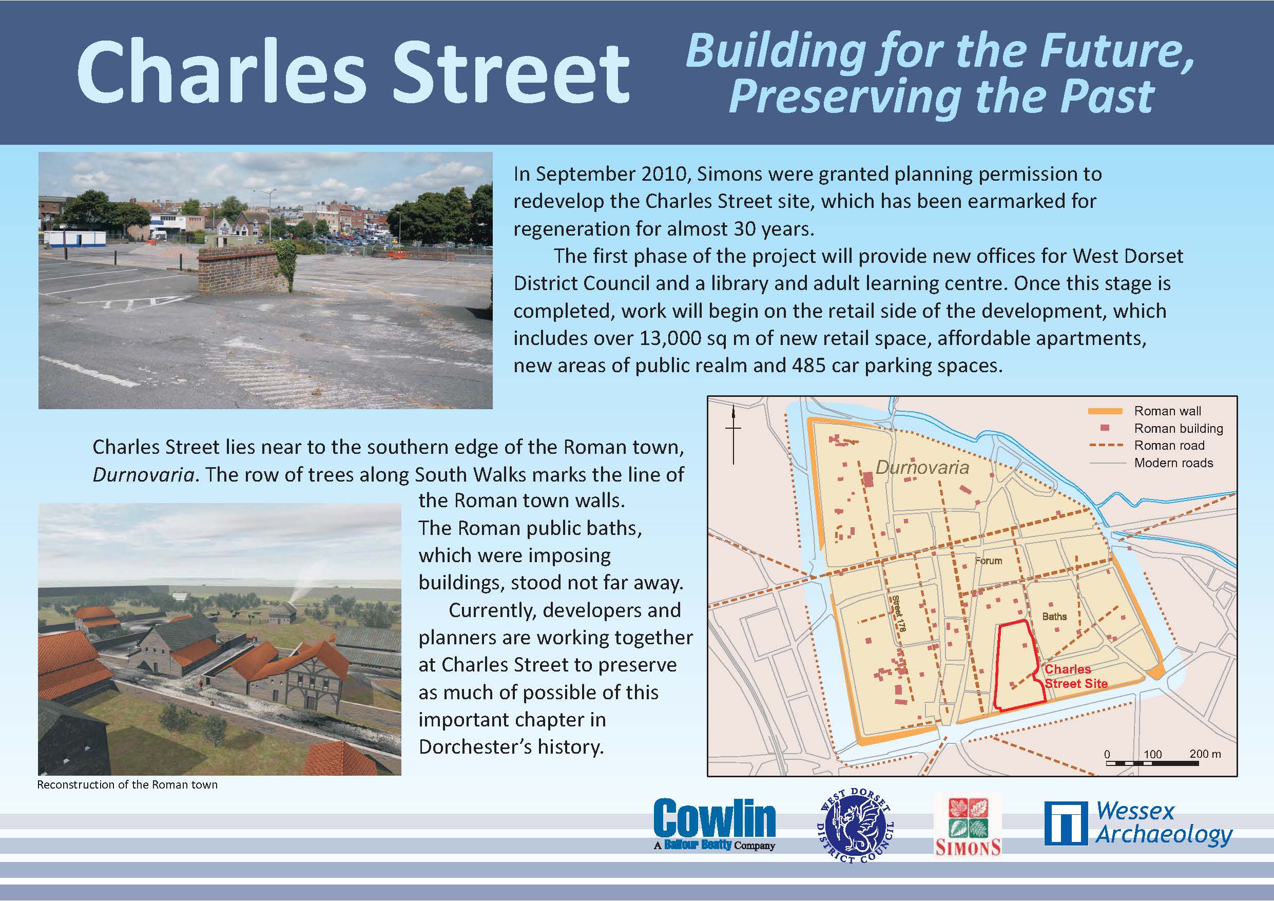
Charles Street, Dorset - Building for the Future, Preserving the Past
Published: 2025-12-01
Subjects: Romano-British Artefacts, Romano-British Settlement, Romano-British Structure
Onsite information for excavation at Charles Street
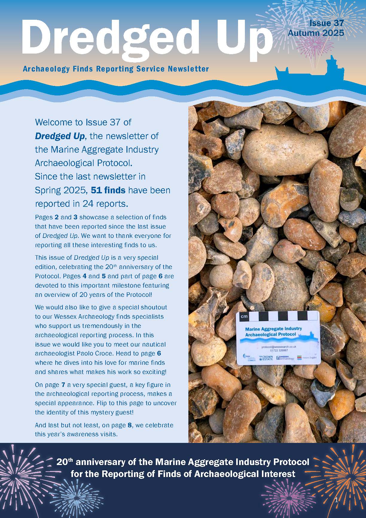
Dredged Up – Issue 37
Published: 2025-11-28
Subjects: Marine Archaeology
Archaeology Finds Reporting Service Magazine Issue 37 Autumn 2025

Excavations at Cheeseman's Green: The Development of Prehistoric, Romano-British and Medieval Landscapes
Published: 2025-09-22
Subjects: Mesolithic, Post Medieval, Prehistoric Enclosure, Prehistoric Settlement, Romano-British
Between 2010 and 2019 Wessex Archaeology carried out a programme of archaeological works on a 170 ha development site at Cheeseman’s Green, south-east of Ashford, Kent, centred on NGR 602500 139700. The works, which comprised trial trench evaluations, strip-map-and-sample excavations and watching briefs, revealed evidence for activity dating from the Mesolithic to the post-medieval period, with [...]
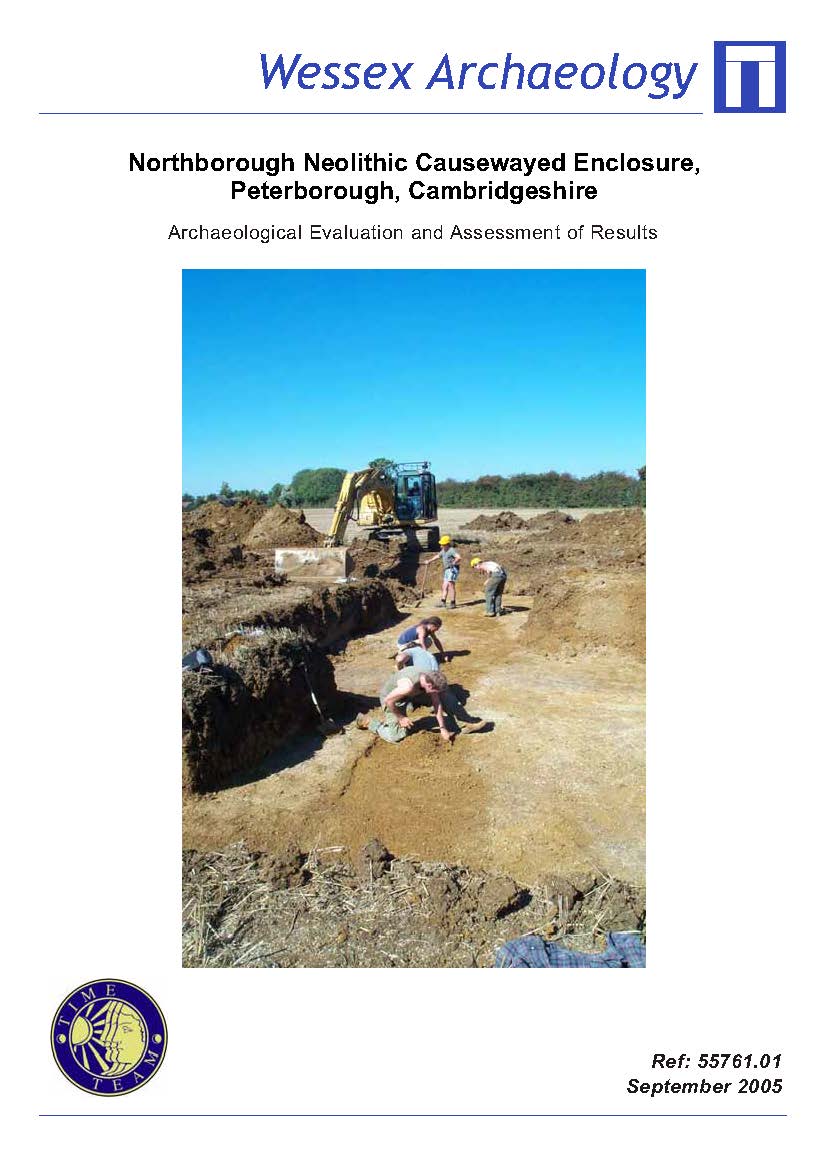
Northborough Neolithic Causewayed Enclosure, Peterborough, Cambridgeshire - Archaeological Evaluation and Assessment of Results
Published: 2025-09-01
Subjects: Neolithic Artefacts, Neolithic Ceremony
The main aim of the evaluation was to ascertain the character, date and condition of the site, as well as the extent of preservation and waterlogging in the ditches. The air photographic transcription showed that the enclosure comprises two pairs of concentric circuits of short ditch segments and causeways, forming an inner and an outer enclosure. It is one of five causewayed enclosures [...]
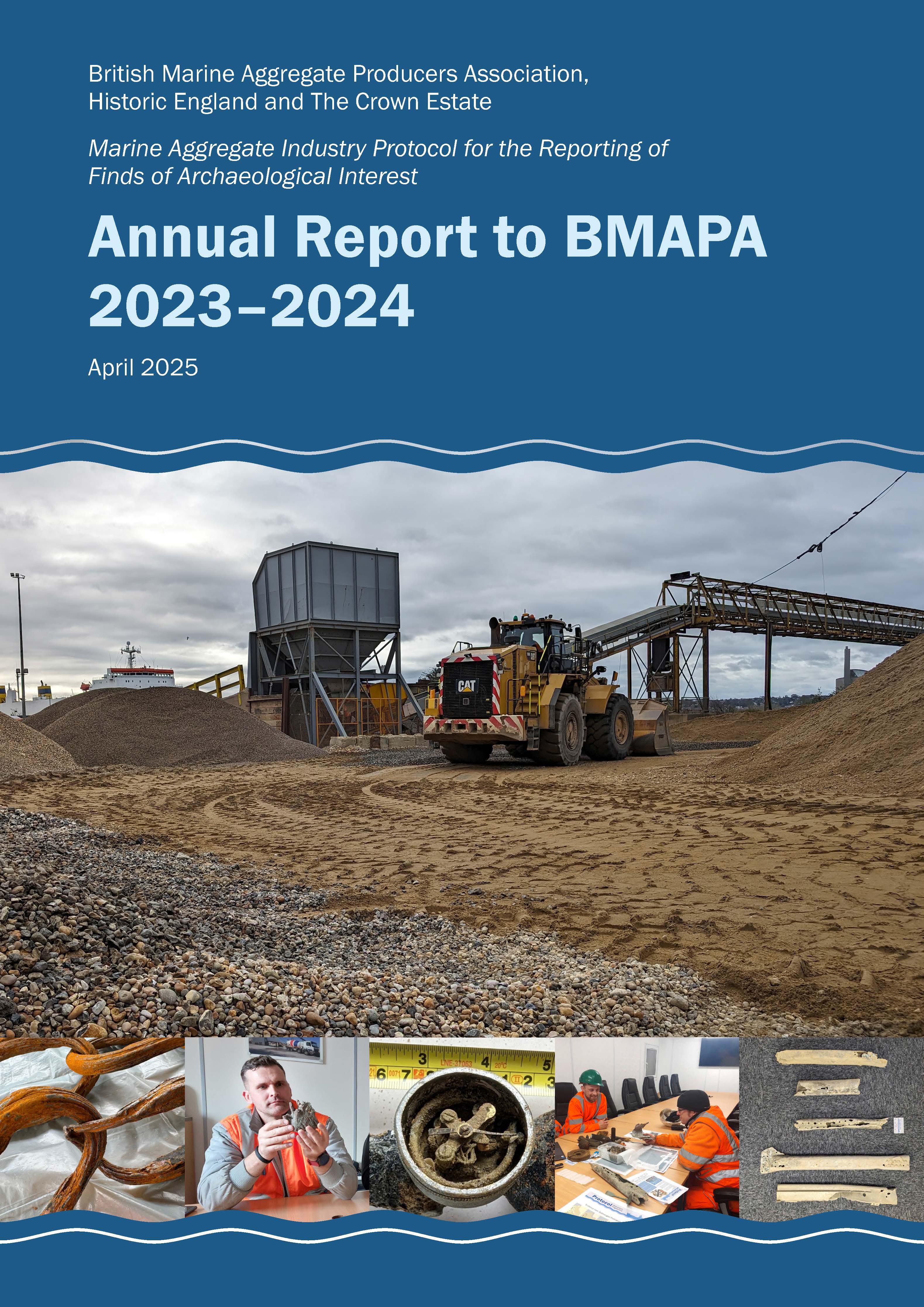
Annual Report to BMAPA 2023-2024
Published: 2025-04-01
Subjects: Marine Archaeology
British Marine Aggregate Producers Association, Historic England and The Crown Estate. Marine Aggregate Industry Protocol for the Reporting of Finds of Archaeological Interest.
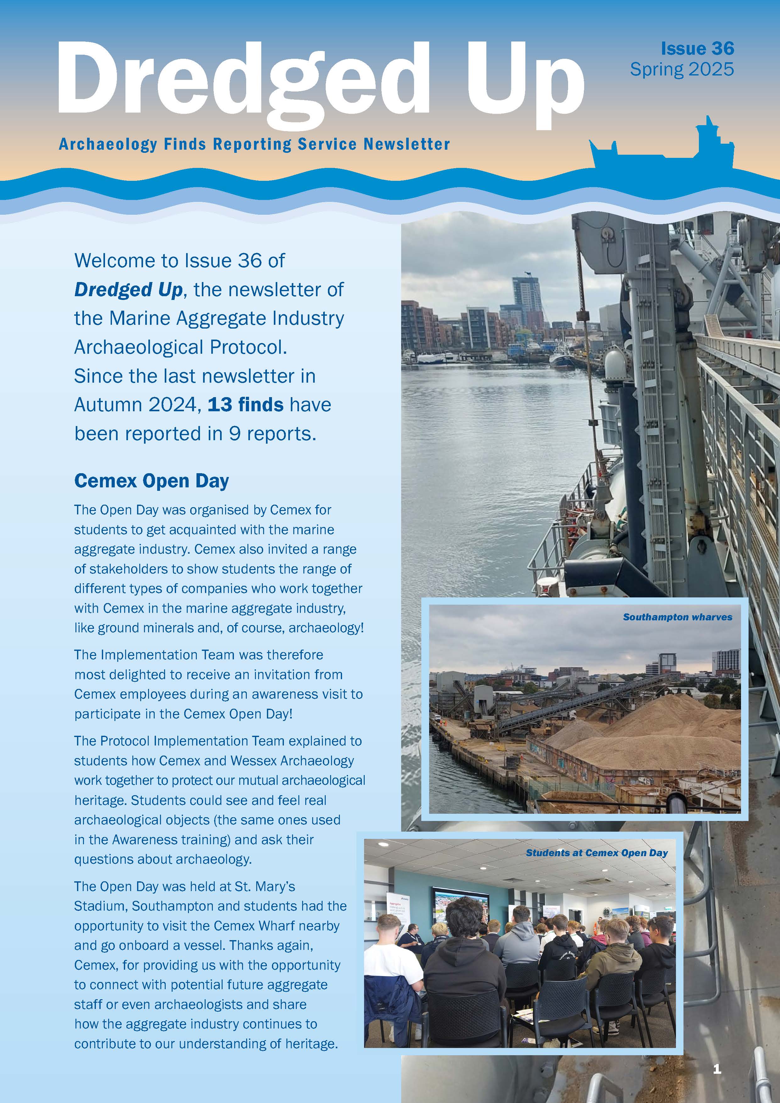
Dredged Up - Issue 36
Published: 2025-03-01
Subjects: Marine Archaeology
Archaeology Finds Reporting Service Magazine Issue 36 Spring 2025

Dredged Up - Issue 35
Published: 2024-09-01
Subjects: Marine Archaeology
Archaeology Finds Reporting Service Magazine Issue 35 Autumn 2024
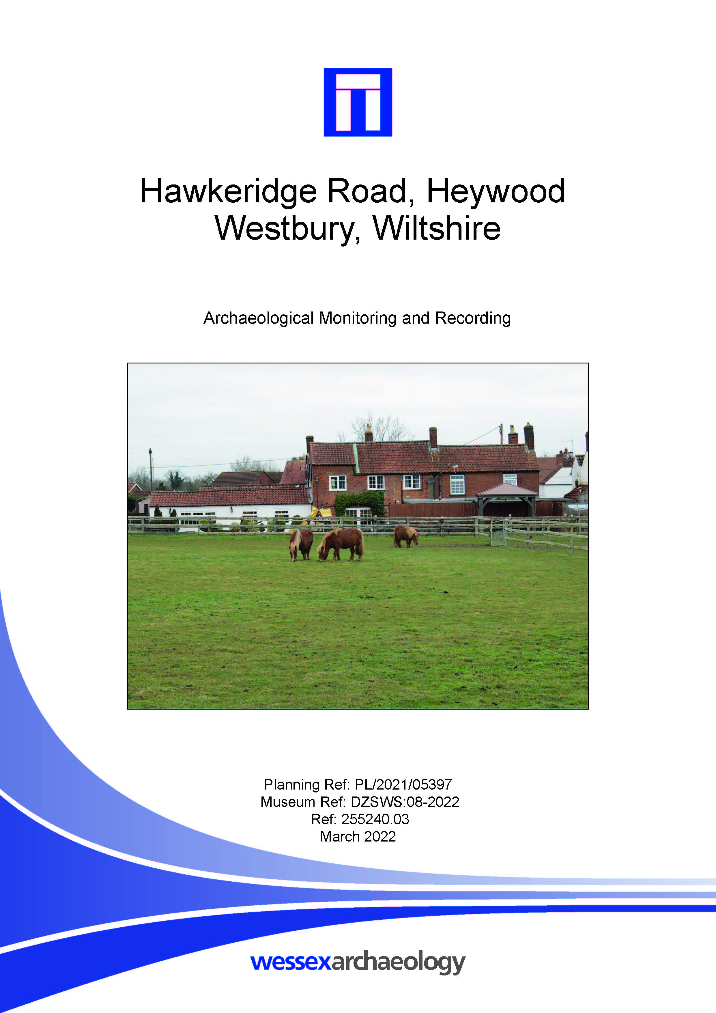
Hawkeridge Road, Heywood, Westbury, Wiltshire - Archaeological Monitoring and Recording
Published: 2024-08-23
Subjects: Medieval, Post Medieval, Romano-British
Wessex Archaeology was commissioned to undertake archaeological monitoring and recording during ground disturbance works associated with the construction of an outdoor horseriding arena. The excavation of a 60 m by 30 m area in the footprint of the outdoor riding arena was monitored. No archaeological features or deposits were encountered during the course of the archaeological monitoring and [...]
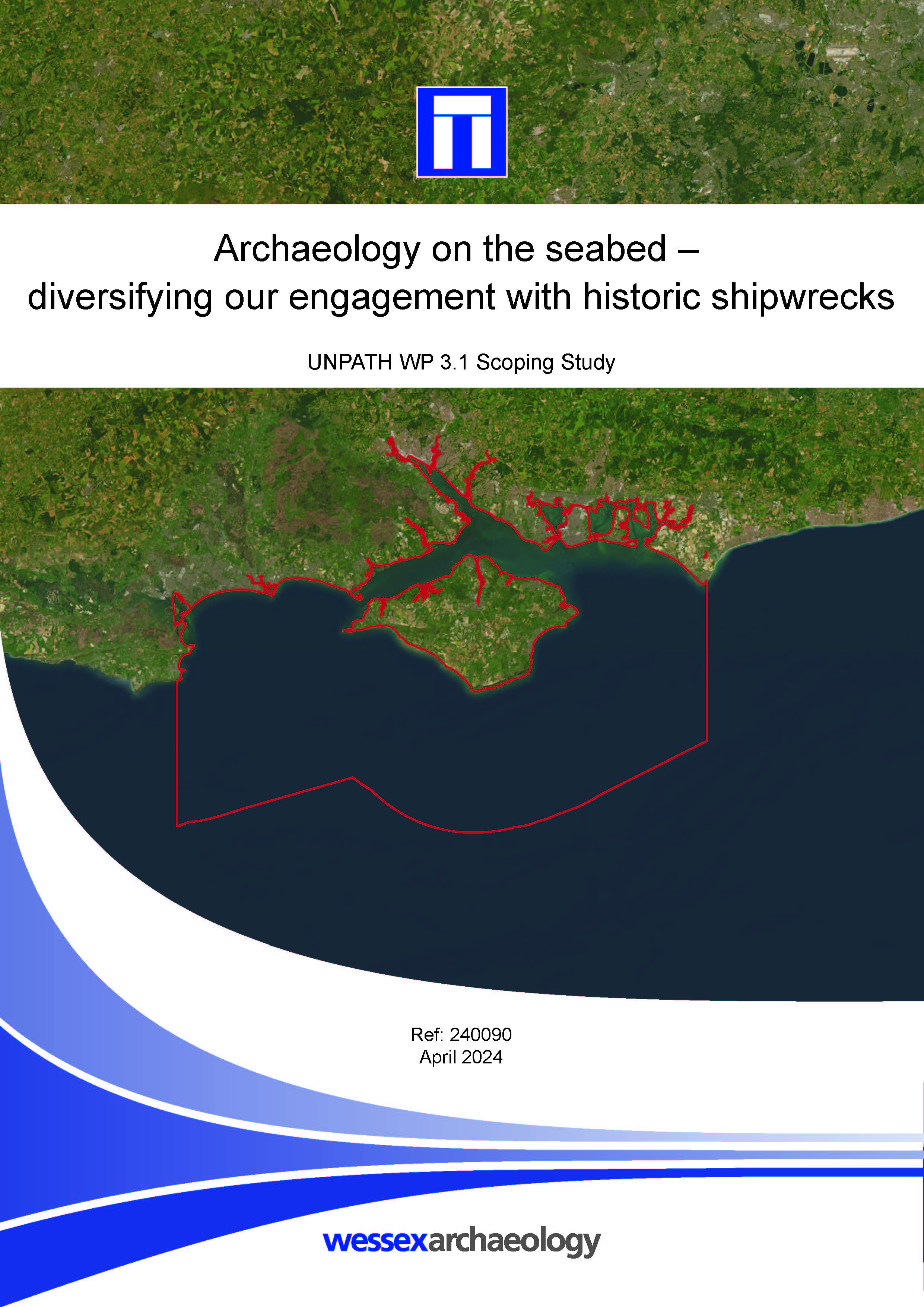
Archaeology on the seabed - diversifying our engagement with historic shipwrecks - Scoping Study
Published: 2024-04-01
Subjects: Marine Archaeology
Part of UNPATH Work Package 3.1, the subject matter examine historic shipwrecks in the Solent region, encompassing Portsmouth, Southampton, the Isle of Wight and surrounding territorial sea. By working with volunteer co-creators from local communities, it sought to identify new and exciting people-focused heritage narratives with contemporary resonance. Although the number of volunteers [...]
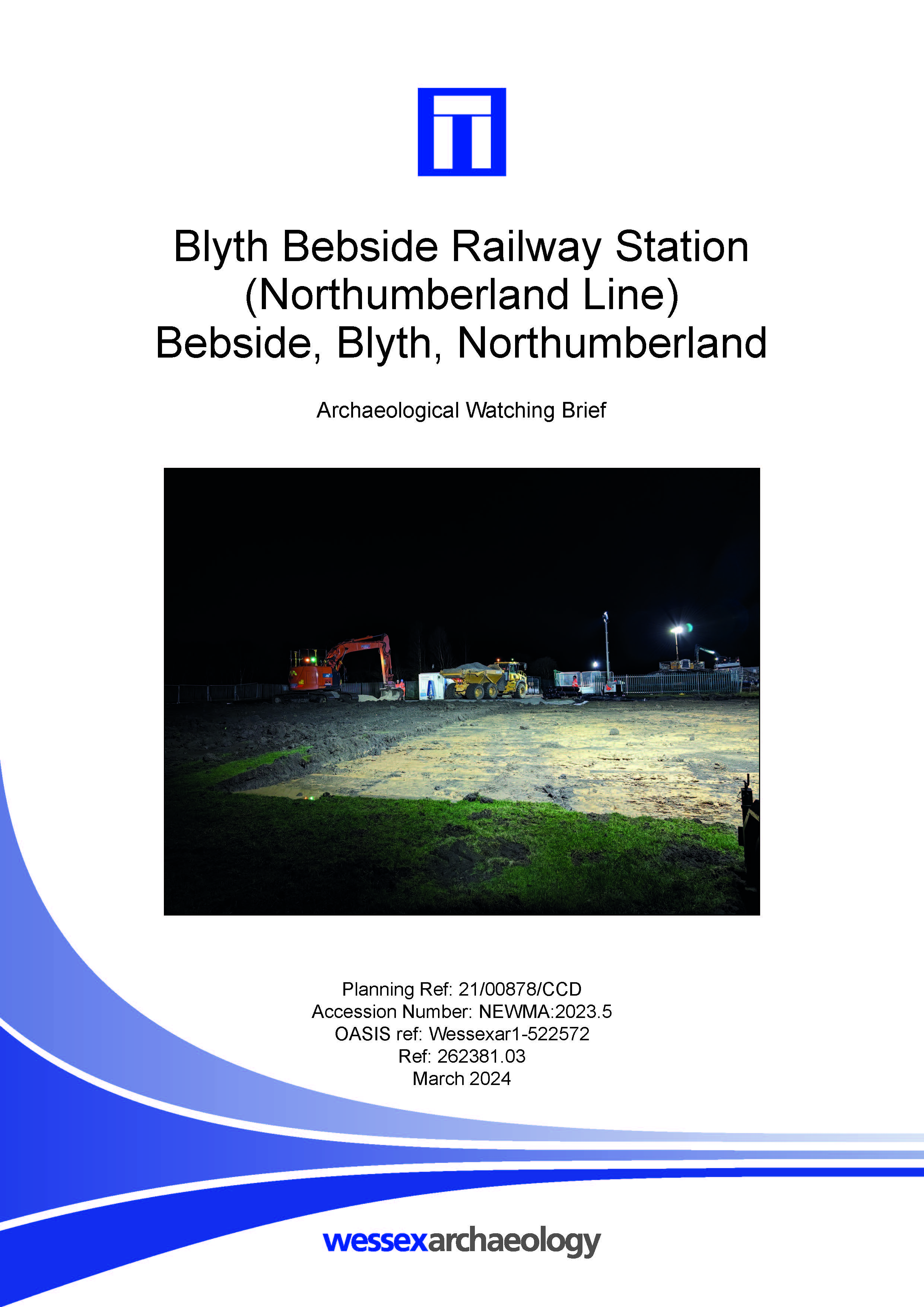
Blyth Bebside Railway Station (Northumberland Line). Archaeological Watching Brief
Published: 2024-03-01
Subjects: Modern Agriculture
The watching brief focused on an area to the east of the existing railway line in order to record any potential remains pertaining to Bebside colliery. However, no evidence of activity related to the Bebside Colliery extended into the development site. Three modern ditches or furrows and a pit were uncovered in the northern and south-eastern parts of the monitored area. Historic mapping shows [...]
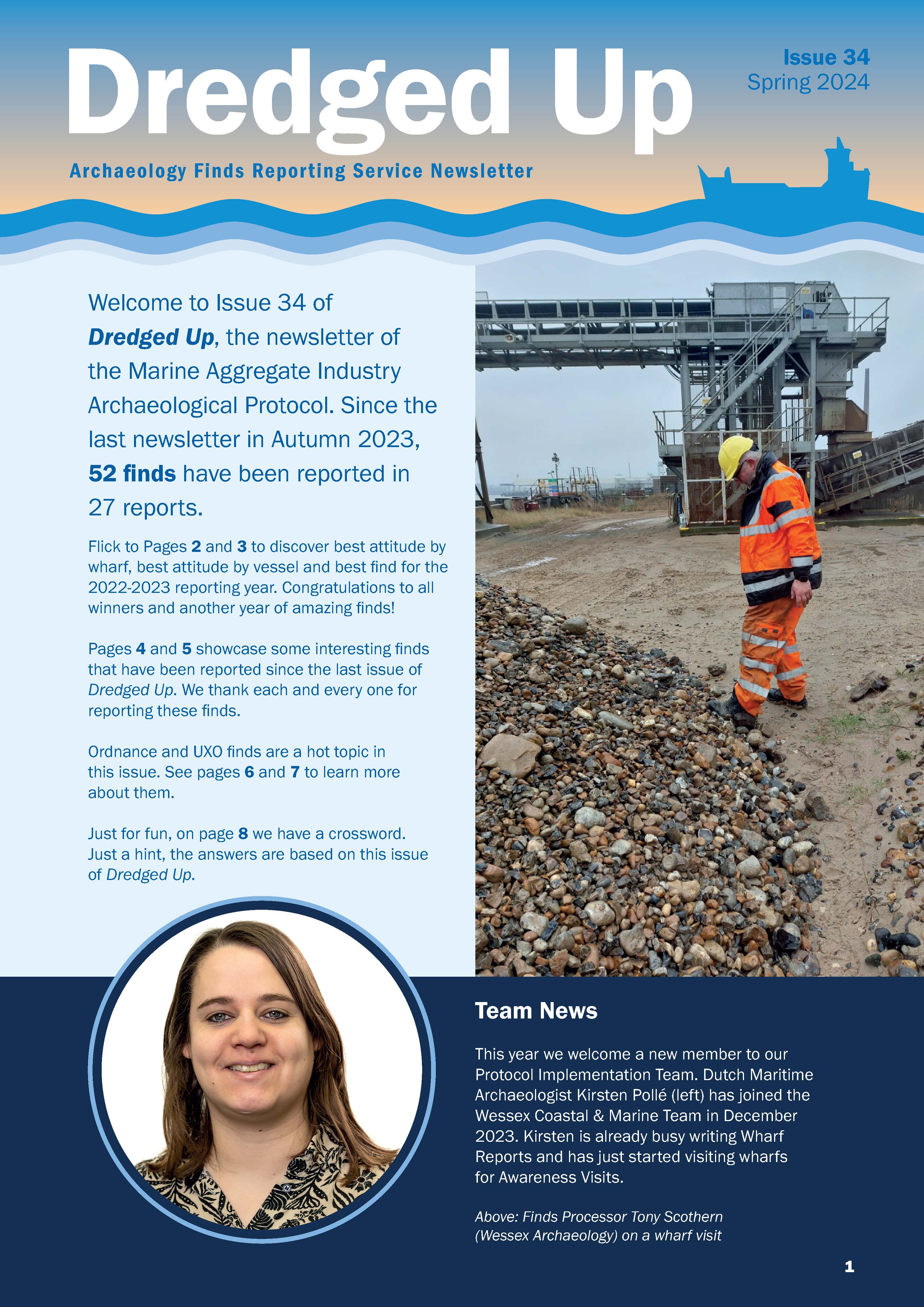
Dredged Up - Issue 34
Published: 2024-03-01
Subjects: Marine Archaeology
Archaeology Finds Reporting Service Magazine Issue 34 Spring 2024
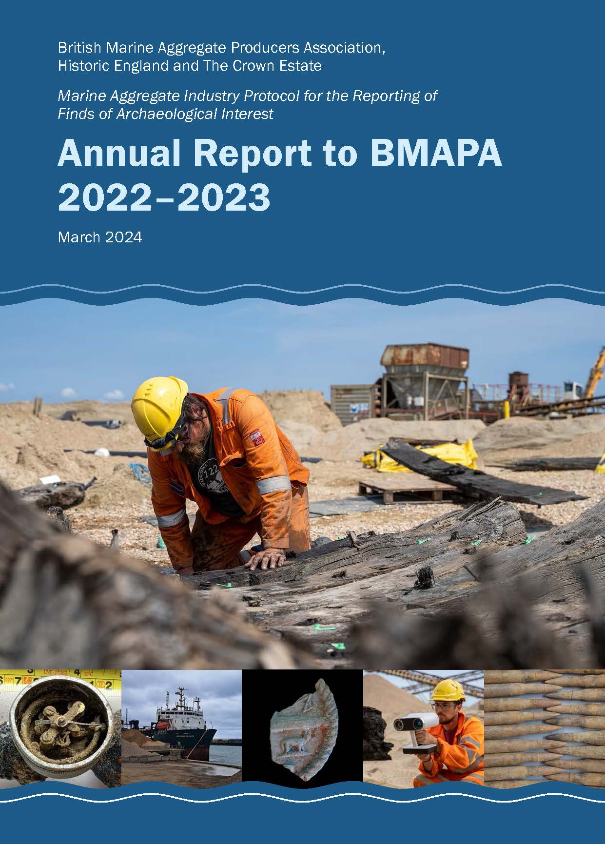
Annual Report to BMAPA 2022-2023
Published: 2024-03-01
Subjects: Marine Archaeology
British Marine Aggregate Producers Association, Historic England and The Crown Estate. Marine Aggregate Industry Protocol for the Reporting of Finds of Archaeological Interest.