Reports
Our reports library includes fieldwork, geophysical, geoarchaeological, marine and post-excavation reports from our archaeological and heritage projects across the UK.
There are 458 Reports listed.
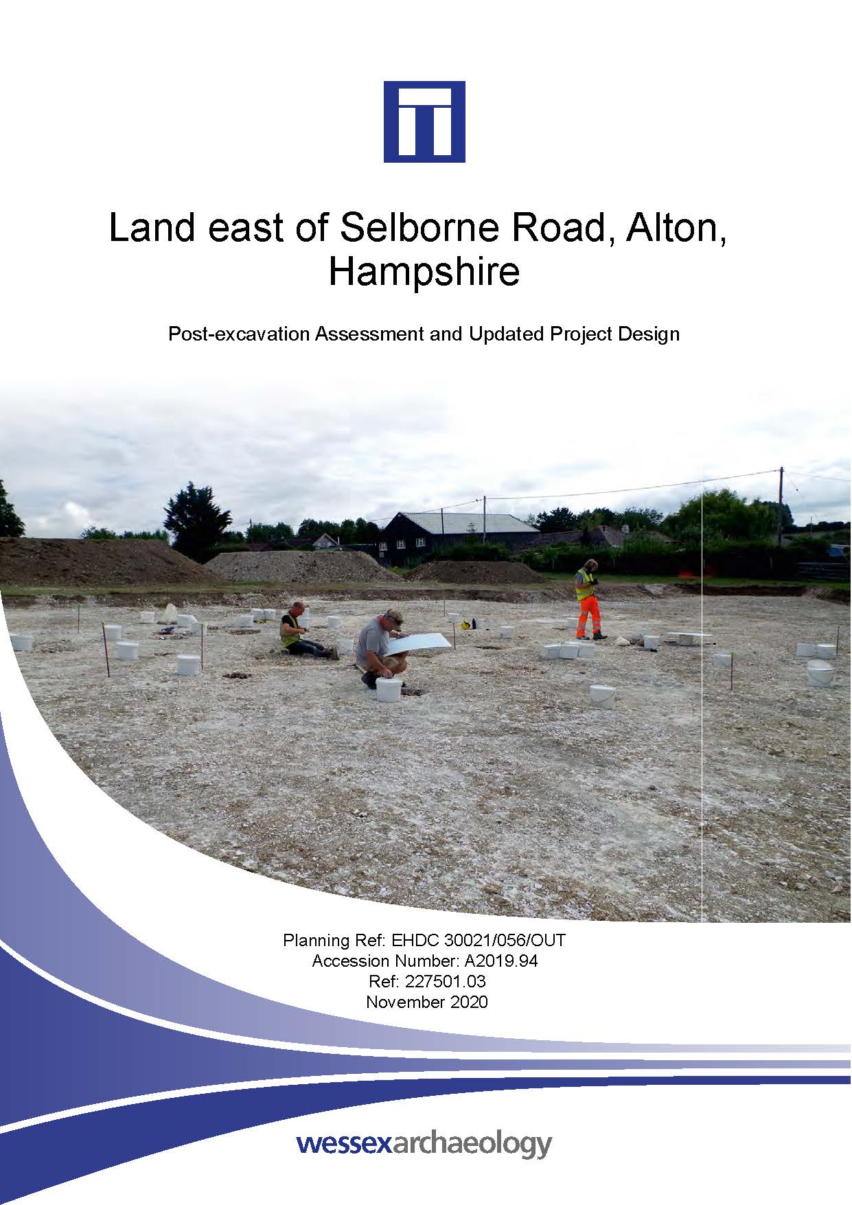
Land east of Selborne Road, Alton, Hampshire - Post-excavation Assessment
Published: 2020-11-01
Subjects: Bronze Age Settlement, Modern Foundations
This report records the results of an archaeological excavation and watching brief. The excavation identified the remains of a circular post-built structure, probably a roundhouse, with associated pits and postholes. Late Bronze Age pottery was recovered from several of the features, along with small amounts of animal bone, fired clay, worked flint and charred plant remains. The watching [...]
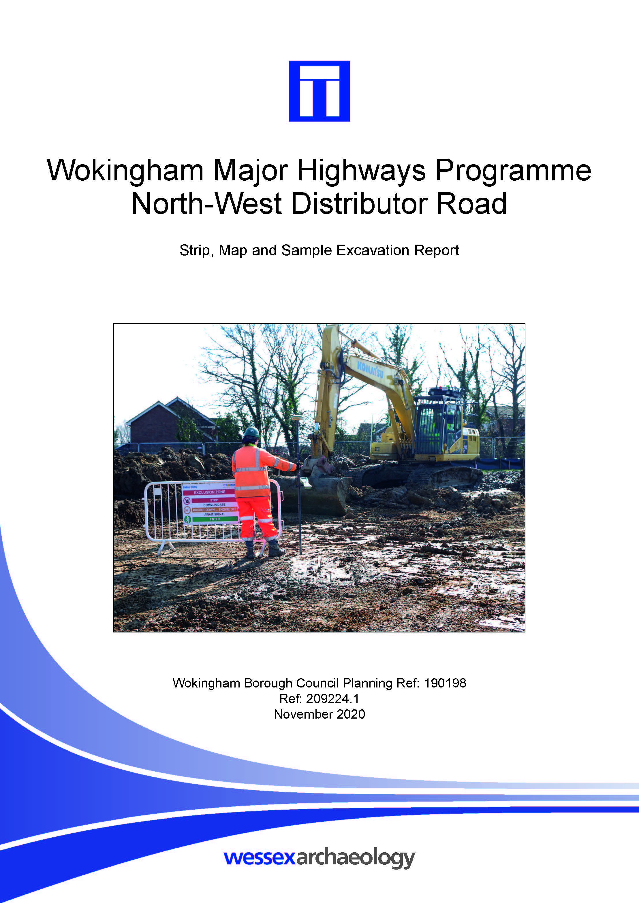
Wokingham Major Highways Programme North-West Distributor Road - Archaeological Excavation Report
Published: 2020-11-01
Subjects: Post-Medieval Agriculture, World War II
Features were concentrated within Areas 1 and 2, in the eastern extent of the site, whilst Areas 3 and 4 were void of any archaeological signature. Whilst the precise character of the material remains uncertain, it may be associated with the iron working site at Sadlers End approximately 900 m from the site. A possible pond was also located, containing a soil sequence suggesting natural silting [...]
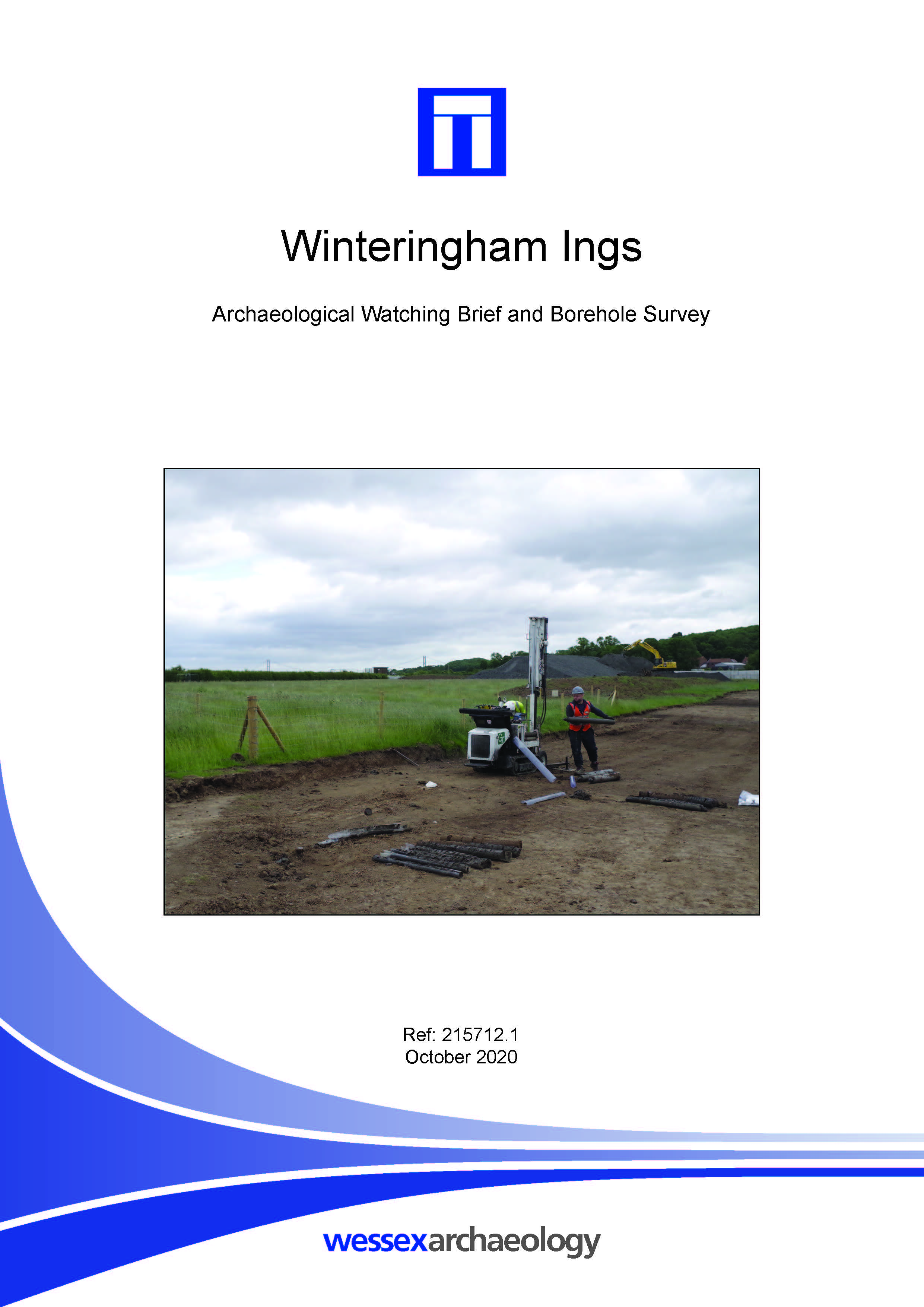
Winteringham Ings - Archaeological Watching Brief Report and Borehole Survey
Published: 2020-10-01
Subjects: Undated Archaeological Features
The watching brief was centred on two areas (Area 1 and Area 2). An oval shaped feature and an irregular shaped elongated feature were encountered in Area 1. Features have been preserved in situ. No archaeological features were encountered in Area 2. The borehole survey was focussed on two transects across what was identified as a relict channel of the River Ancholme. The survey also shows [...]
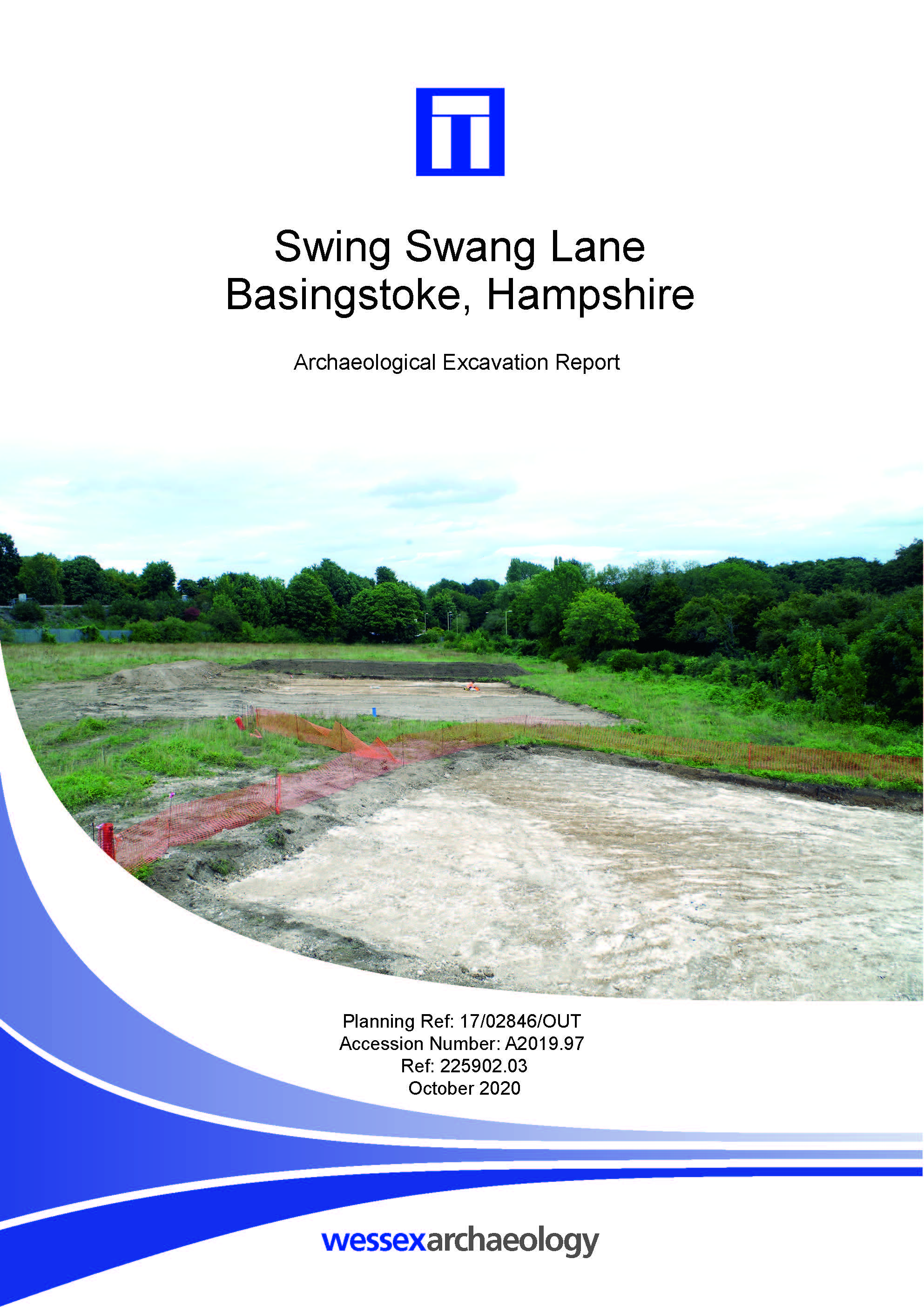
Swing Swang Lane, Basingstoke, Hampshire - Archaeological Excavation Report
Published: 2020-10-01
Subjects: Prehistoric Flint, Romano-British Agriculture, Undated Archaeological Features
The excavation confirmed the presence of background prehistoric activity observed during earlier archaeological works on the site. A boundary ditch containing Romano-British pottery and worked flint, and a small pit and tree-throw hole containing worked flint were identified. A substantial pit of uncertain date and function was also investigated. Civil War period activity came in the form of [...]
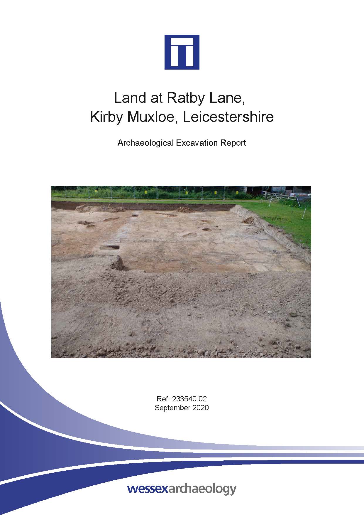
Land at Ratby Lane, Kirby Muxloe, Leicestershire - Archaeological Excavation Report
Published: 2020-09-01
Subjects: Medieval Artefacts, Post-Medieval Agriculture, Romano-British Artefacts, Undated Archaeological Features
The strip, map and record excavation covered an area of 850 m2 and contained a total of 11 archaeological features: a pair of parallel ditches and nine pits/postholes. Most of the latter appeared to form the circumference of an 11 m diameter circle. What this originally represented is unproven; possible interpretations include a roundhouse, although this is tentative. Only three artefacts were [...]
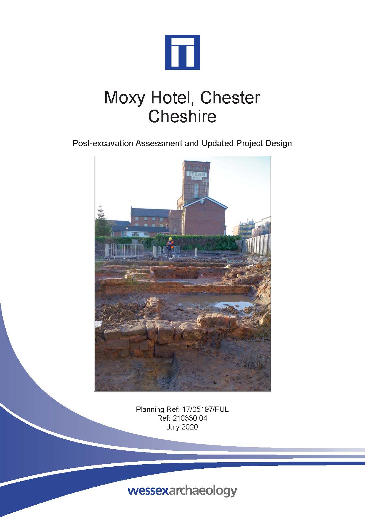
Moxy Hotel, Chester, Cheshire - Post-excavation Assessment
Published: 2020-07-01
Subjects: Medieval Artefacts, Modern Settlement, Modern Structure, Post-Medieval Agriculture, Romano-British Agriculture
This report records the results of an excavation and watching brief. Romano-British boundary ditches and gullies were found beneath layers of buried soil containing artefacts of Romano-British, medieval, 17th-, 18th- and 19th-century date. It is probable that these buried soils were analogous to those identified on the adjacent Boughton Centre site, where they were dated to the Romano-British [...]
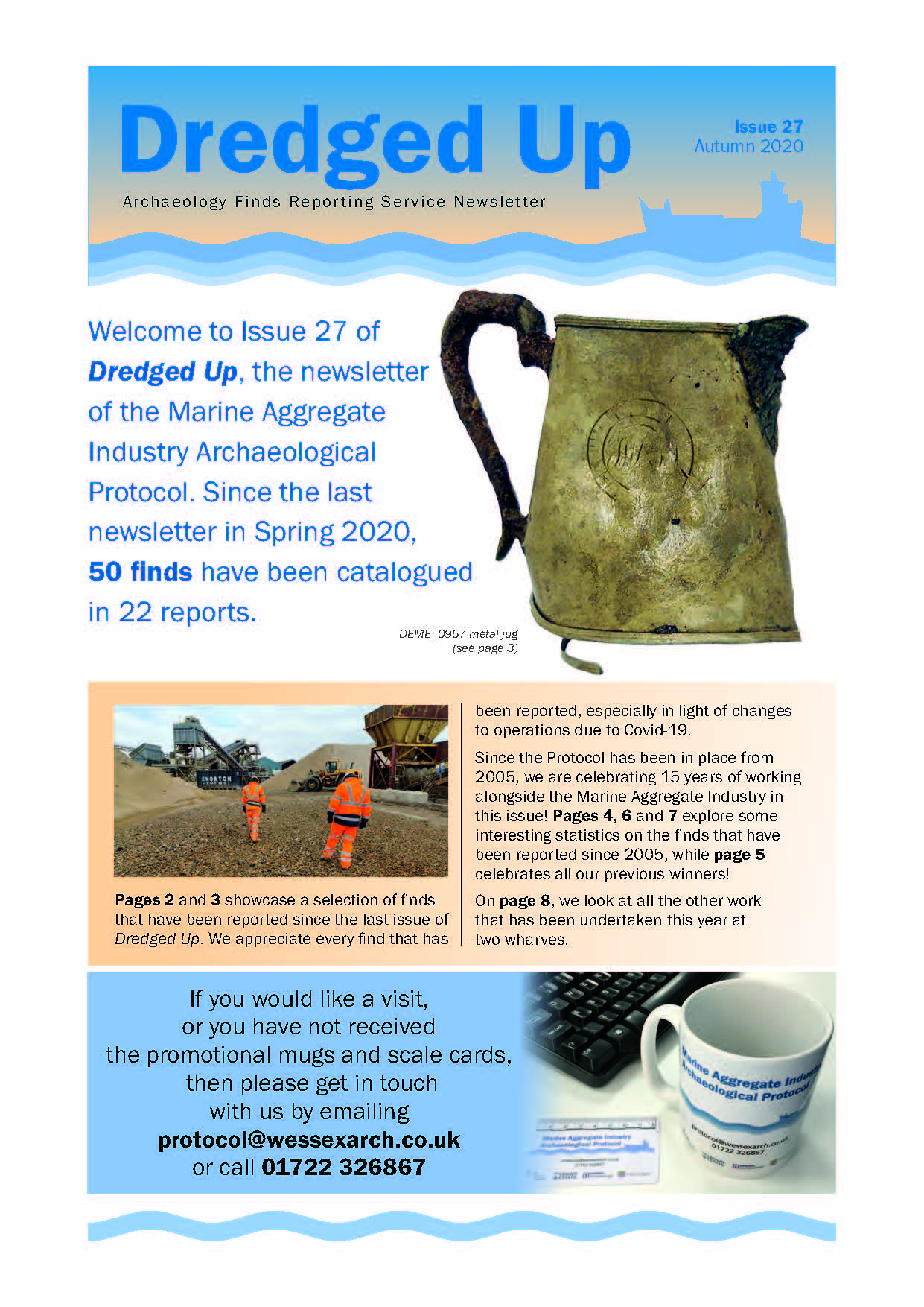
Dredged Up - Issue 27
Published: 2020-06-01
Subjects: Marine Archaeology
Archaeology Finds Reporting Service Magazine Issue 27 Autumn 2020
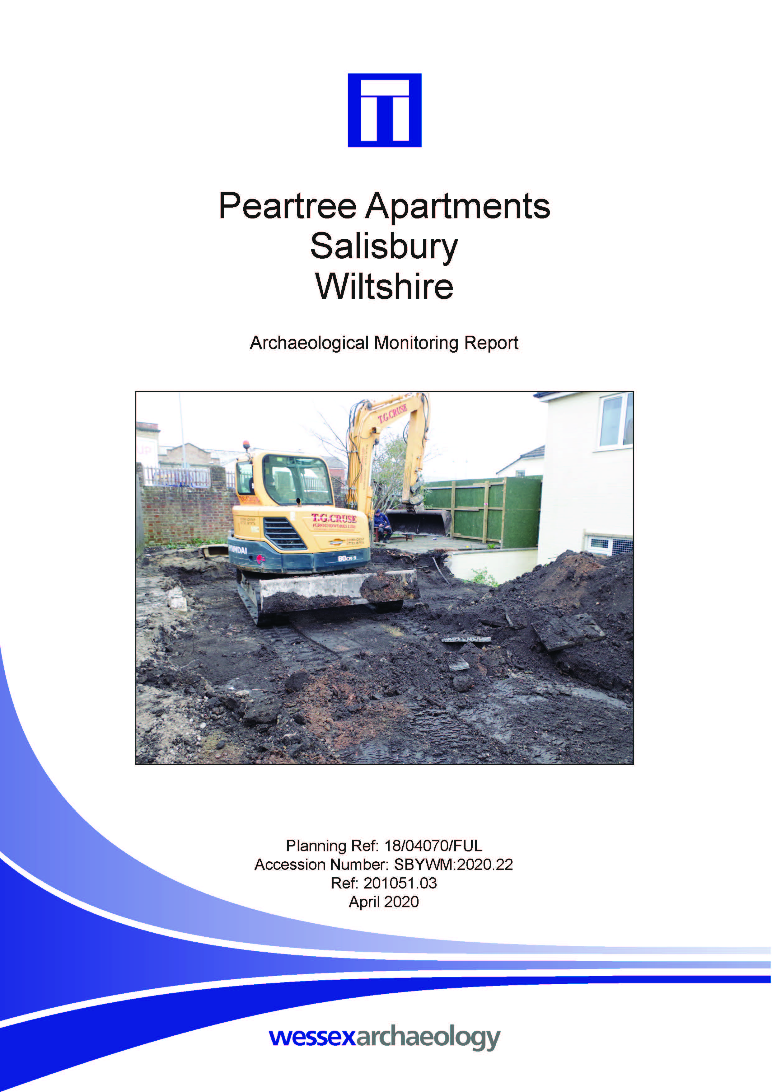
Peartree Apartments, Salisbury, Wiltshire - Archaeological Monitoring Report
Published: 2020-04-01
Subjects: No Archaeology
Though no artefacts were recovered as part of this project, brickearth has been identified and represents the known southernmost extent of the brickearth in the north Salisbury area.
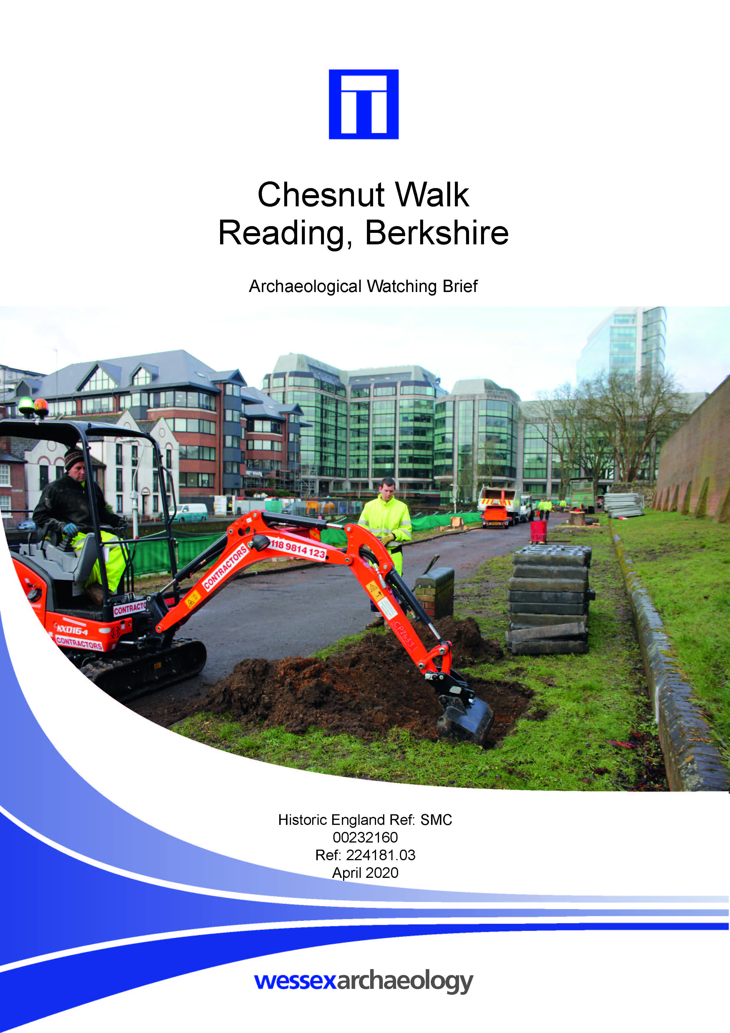
Chestnut Walk, Reading, Berkshire - Archaeological Watching Brief Report
Published: 2020-04-01
Subjects: Modern Settlement
Out of the 20 pits excavated, only one contained deposits different to a stratigraphic sequence of layers of made ground overlain by the modern topsoil, that had been established by the evaluation. This was a modern feature, whose single fill contained metal sheeting and bricks. This feature appears likely to be associated with the construction of the present footpath. A layer of mortar [...]
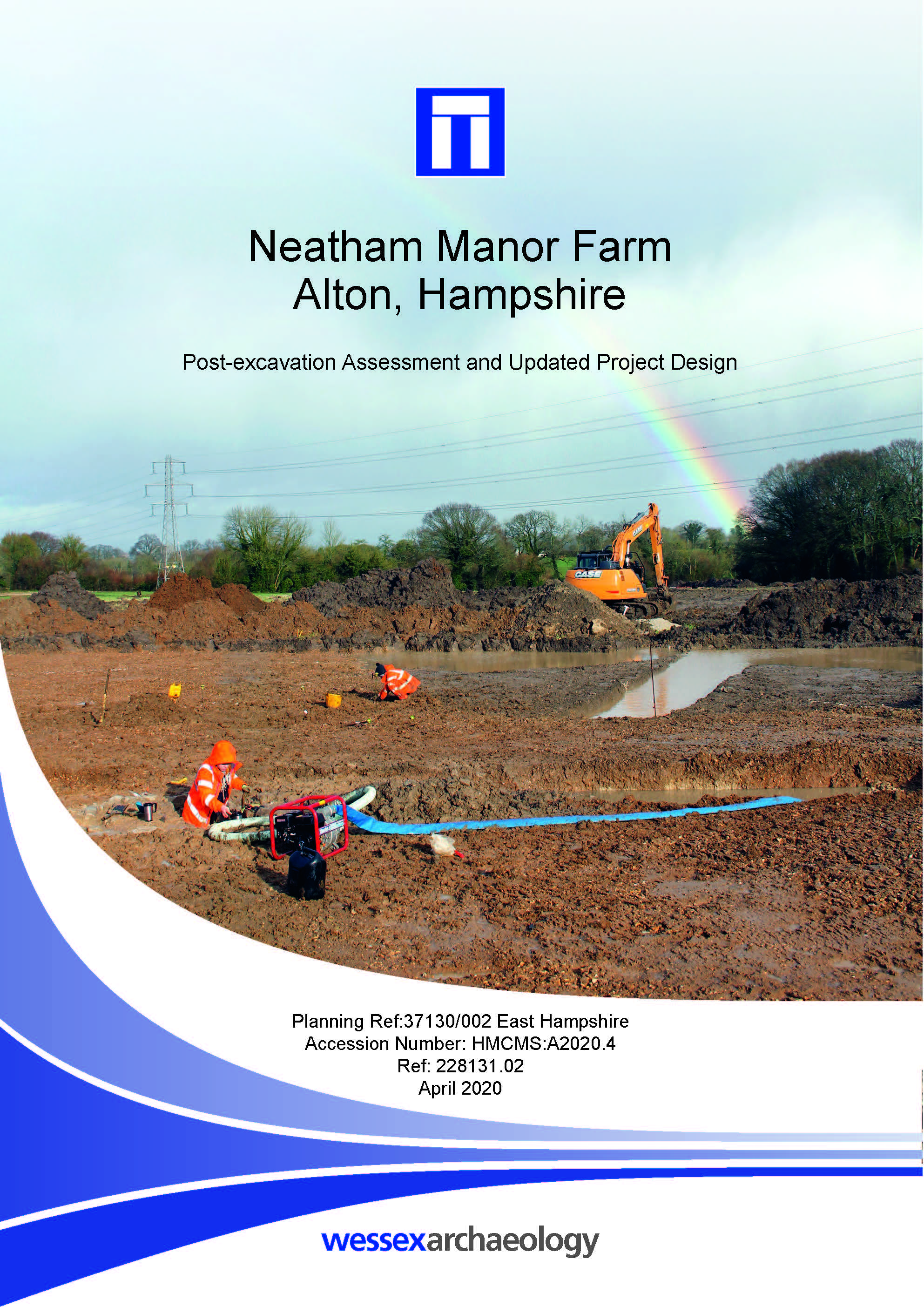
Neatham Manor Farm, Alton, Hampshire - Post-excavation Assessment
Published: 2020-04-01
Subjects: Medieval Agriculture, Medieval Settlement, Prehistoric Flint, Romano-British Settlement
The earliest evidence of activity on site was provided by a small quantity of worked flint, including a fragment of an Early Neolithic polished axe, retrieved from subsoil or found residually in later features. Two parallel ditches, aligned north-east to south-west and approximately 30 m apart, provide limited evidence for Romano-British settlement. An adjacent quarry pit, for gravel, could [...]
Land at Albion Road, Marden, Kent - Post-excavation Assessment
Published: 2020-03-01
Subjects: Iron Age Agriculture, Iron Age Settlement, Romano-British Agriculture, Romano-British Settlement
The first phase of evaluation within the western half of the site recorded largely undated ditches pits and postholes, although five of the postholes were broadly dated to the prehistoric period. No further investigation took place within the western half of the site. The Phase 2 evaluation and excavation area contained three large enclosure ditches, parts of at least three roundhouses along with [...]
Jarvis Land, Chilmington, Ashford, Kent - Archaeological Excavation Report
Published: 2020-03-01
Subjects: Medieval Agriculture, Mesolithic Flint, Undated Archaeological Features
A total of 22 features comprising ditches, pits and postholes were identified across all areas, with a concentration in Area D in the southeast of the site. The features were dated to the medieval to modern periods with some residual prehistoric material recovered, including three Mesolithic or possibly Mesolithic tools (axe, pick and blade). The archaeological features relate to land [...]
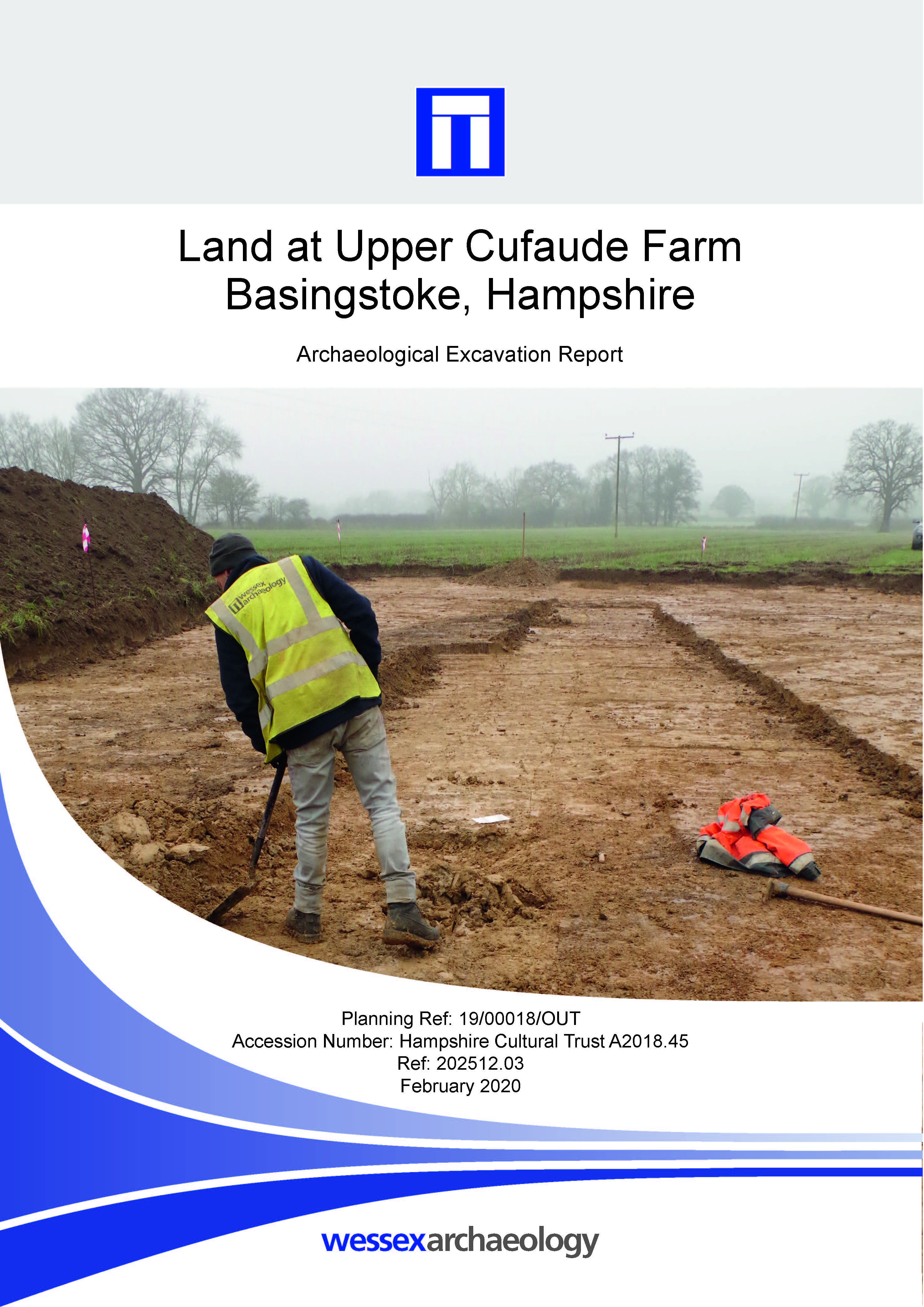
Land at Upper Cufaude Farm, Basingstoke, Hampshire - Archaeological Excavation Report
Published: 2020-02-01
Subjects: Roman Road
The excavation successfully identified the western flanking ditch, but was unable to identify any evidence for a corresponding eastern flanking ditch. No further evidence for the Roman road itself or any associated features were revealed by the excavation. The only artefacts recovered during the excavation were two metal objects, which were subjected to X-radiography, but remain of [...]
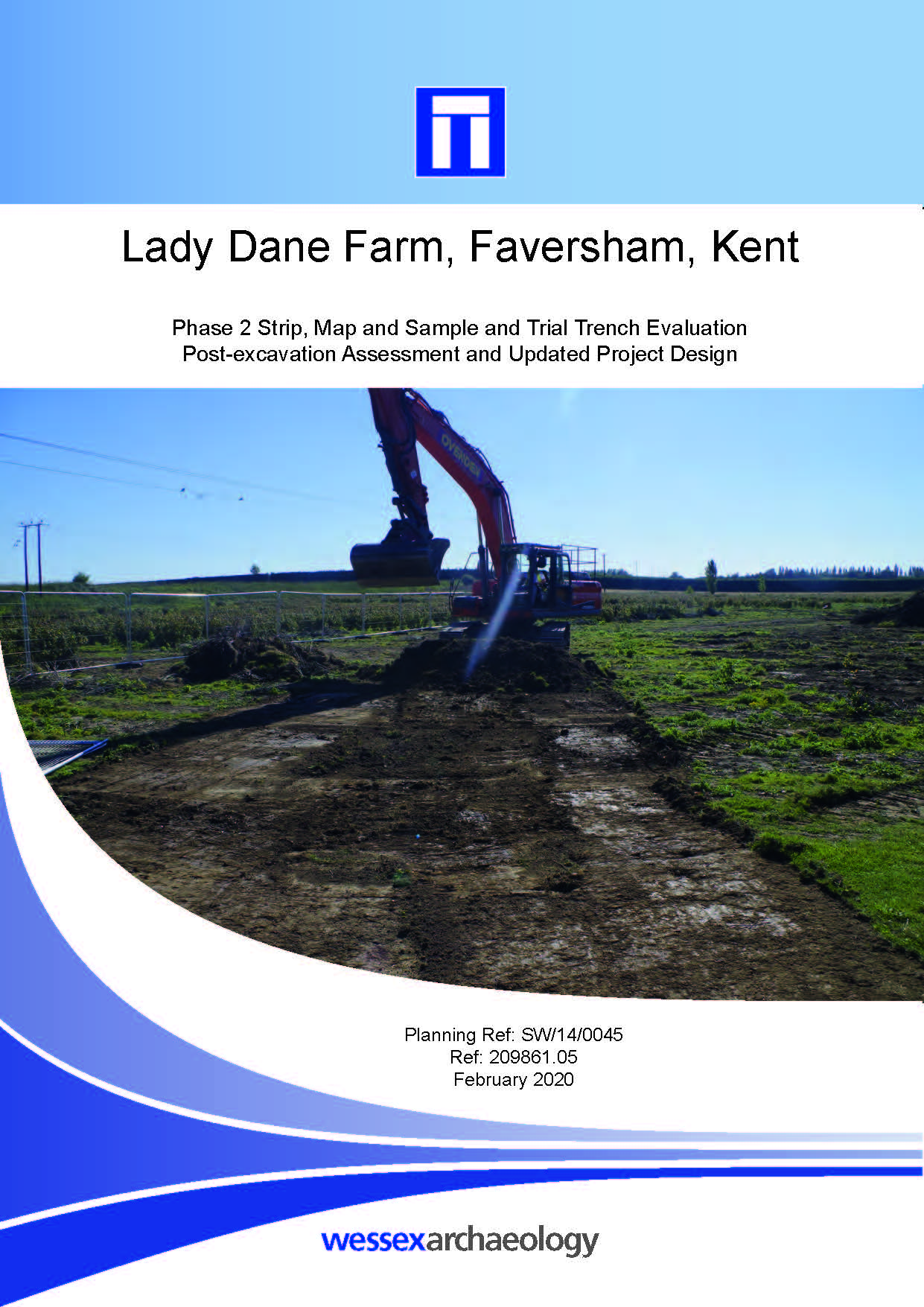
Lady Dane Farm, Faversham, Kent - Archaeological Evaluation Report and Post-excavation Assessment
Published: 2020-02-01
Subjects: Bronze Age Agriculture, Iron Age Agriculture, Medieval Agriculture, Romano-British Agriculture
Area 1, located in the south-western corner of the site, was subject to significant truncation, which was evident during the excavation. Despite this, archaeological remains, primarily dating to from the Prehistoric and Romano-British periods, were recorded. The archaeological features, comprising 46 ditches, 69 pits/postholes and two material spreads, were focussed primarily in the western half [...]

Life on MARR. Archaeological remains along the Manchester Airport Relief Road
Published: 2020-01-01
Subjects: Bronze Age Artefacts, Bronze Age Ceremony, Bronze Age Funerary Site, Medieval Structure, Post-Medieval Agriculture, Post-Medieval Artefacts, Post-Medieval Industry
The Manchester Airport relief road has provided archaeologists with a unique opportunity to examine a swathe of historic landscape south of Manchester. This 'slice through time' has yielded some surprising and important results, casting light on previously poorly understood aspects of our history in this area. Two highlights are a previously unknown Bronze Age monument and the extensive remains [...]