Reports
Our reports library includes fieldwork, geophysical, geoarchaeological, marine and post-excavation reports from our archaeological and heritage projects across the UK.
There are 458 Reports listed.
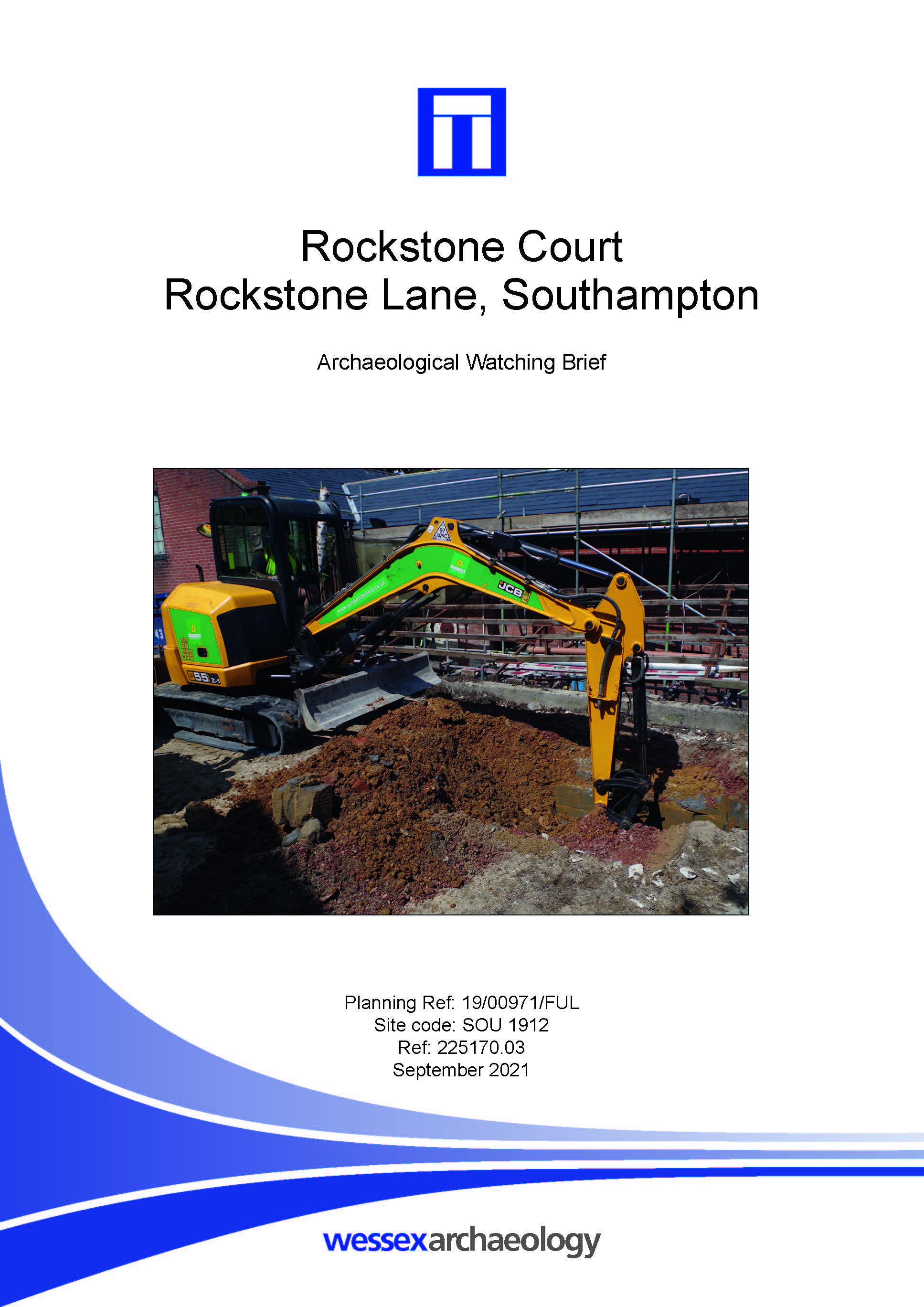
Rockstone Court, Rockstone Lane, Southampton - Archaeological Watching Brief Report
Published: 2021-09-01
Subjects: No Archaeology
The archaeological watching brief monitored the excavation of the material behind the retaining wall, which revealed wholly modern made ground deposits most likely associated with the original construction of the existing wall and therefore no archaeological features or material was observed.
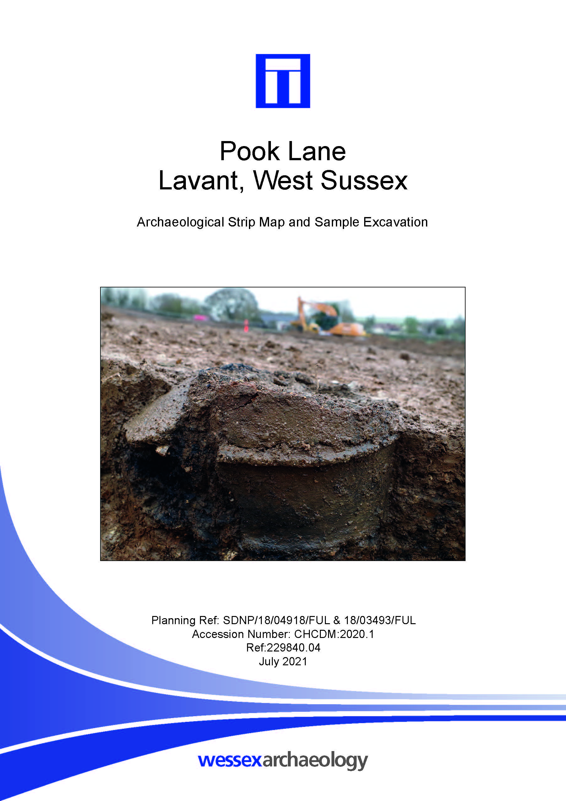
Pook Lane, Lavant, West Sussex - Archaeological Excavation Report
Published: 2021-06-30
Subjects: Bronze Age Funerary Site, Iron Age Settlement, Romano-British Agriculture, Romano-British Settlement, Undated Archaeological Features
The excavation identified multiple phases of archaeological activity dating from the Bronze Age through to the Romano-British period with some minor post-medieval activity. Two inverted Bronze Age cremation vessels, one of which was collared, were buried adjacent to each other, beside a lone post hole, all evenly spaced on an east to west alignment approximately 0.3 m apart. The post hole is [...]
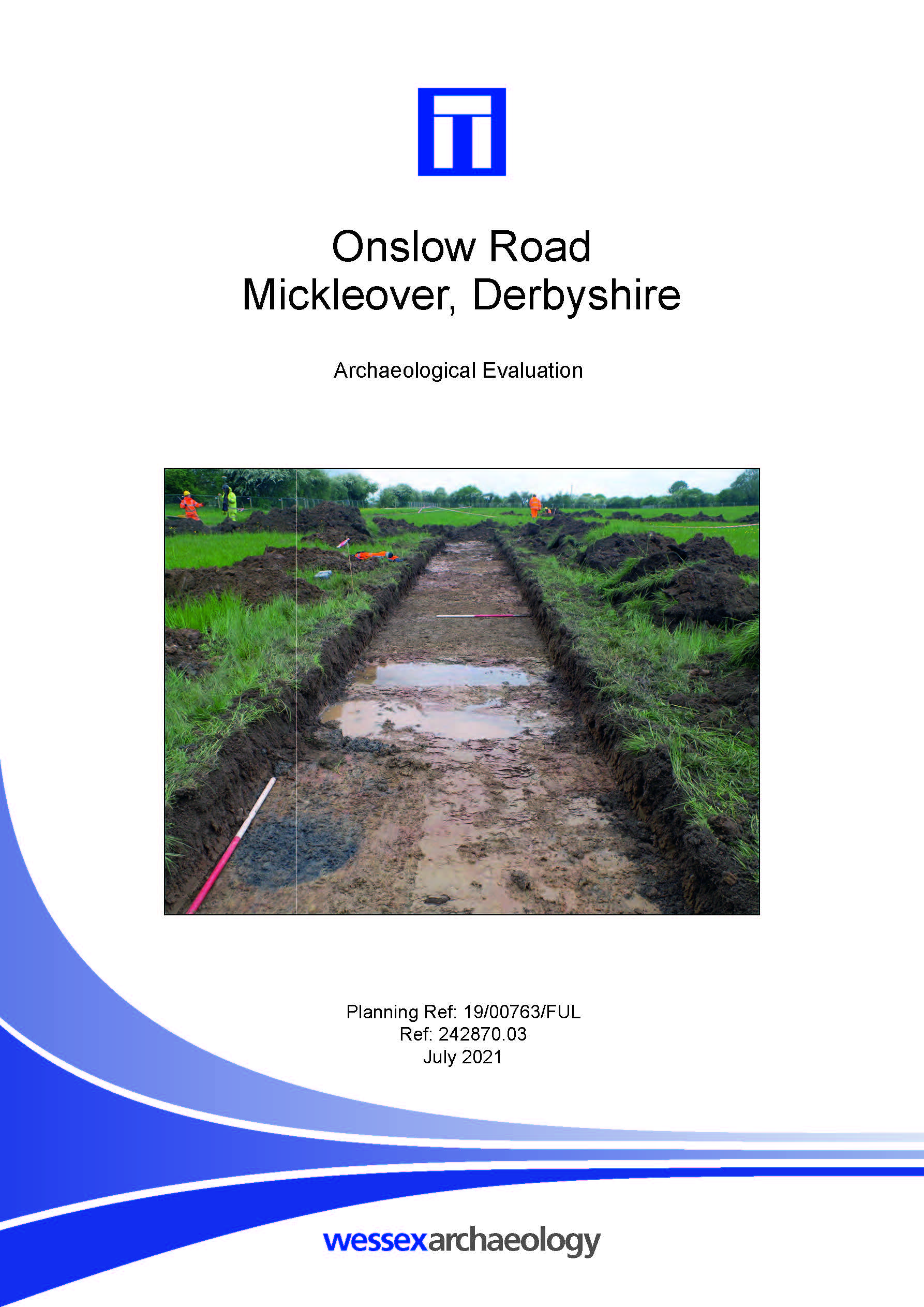
Onslow Road, Mickleover, Derbyshire - Archaeological Evaluation Report
Published: 2021-06-30
Subjects: Romano-British
The majority of the archaeological remains were Romano-British in date, of a single phase of activity dating to the mid-1st to 2nd century, with some features possibly open into the 3rd century AD. The pottery assemblage was moderate and provided good dating for most features. The pottery and environmental remains provided evidence of rural domestic activity, with crop processing occurring in [...]
Dredged Up - Issue 29
Published: 2021-06-01
Subjects: Marine Archaeology
Archaeology Finds Reporting Service Magazine Issue 29 Autumn 2021
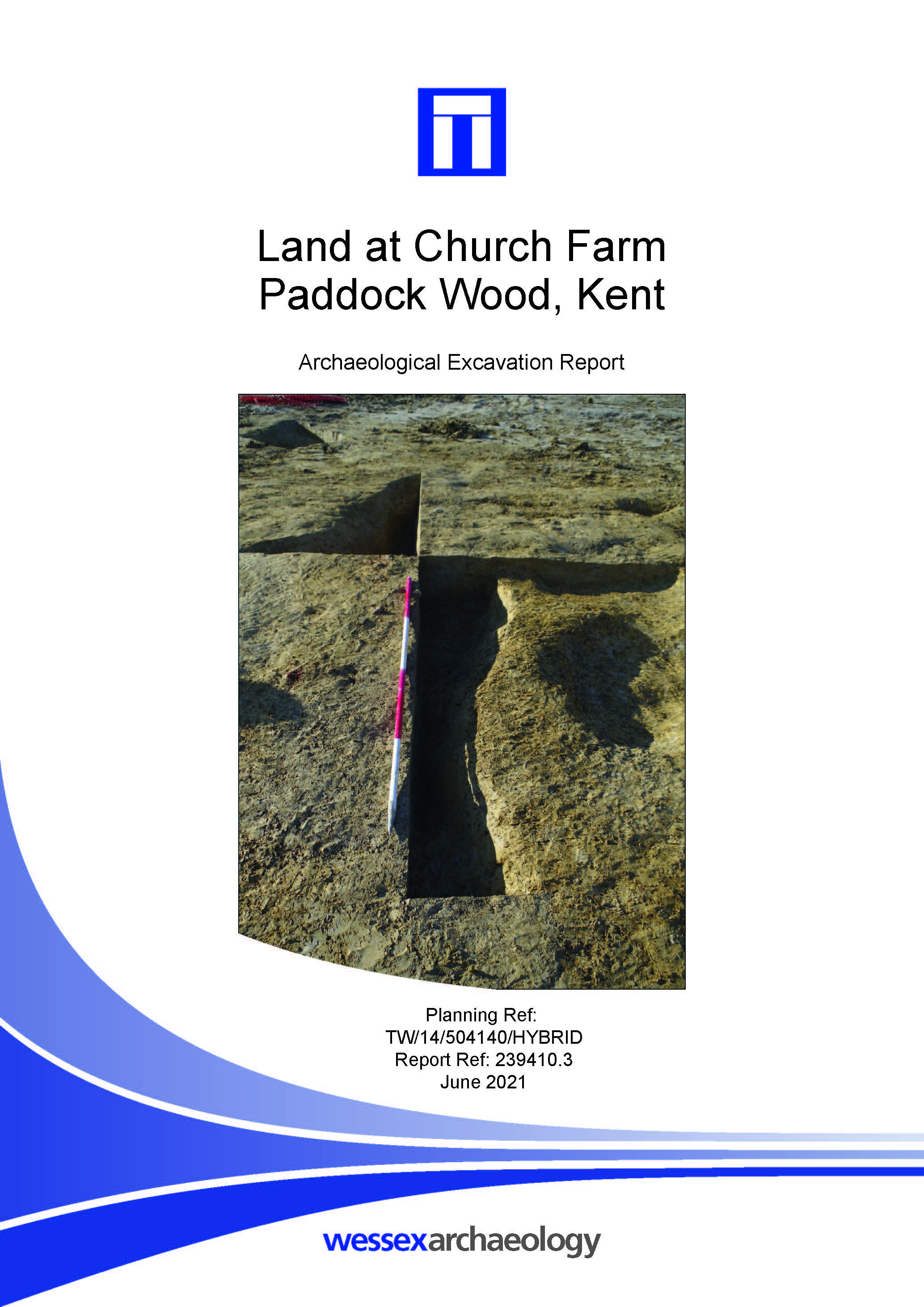
Land at Church Farm, Paddock Wood, Kent - Archaeological Excavation Report
Published: 2021-05-31
Subjects: Iron Age Settlement, Medieval Agriculture, Medieval Industry, Undated Archaeological Features
The excavation identified archaeological remains within the three main areas, comprising a total of 39 ditches and gullies, 25 pits and postholes and a spread of waste material ranging from the Iron Age to medieval periods based on relatively limited dating evidence. While no features comprising ironworking industry were recorded within the site the spread of ironworking remains, particularly [...]
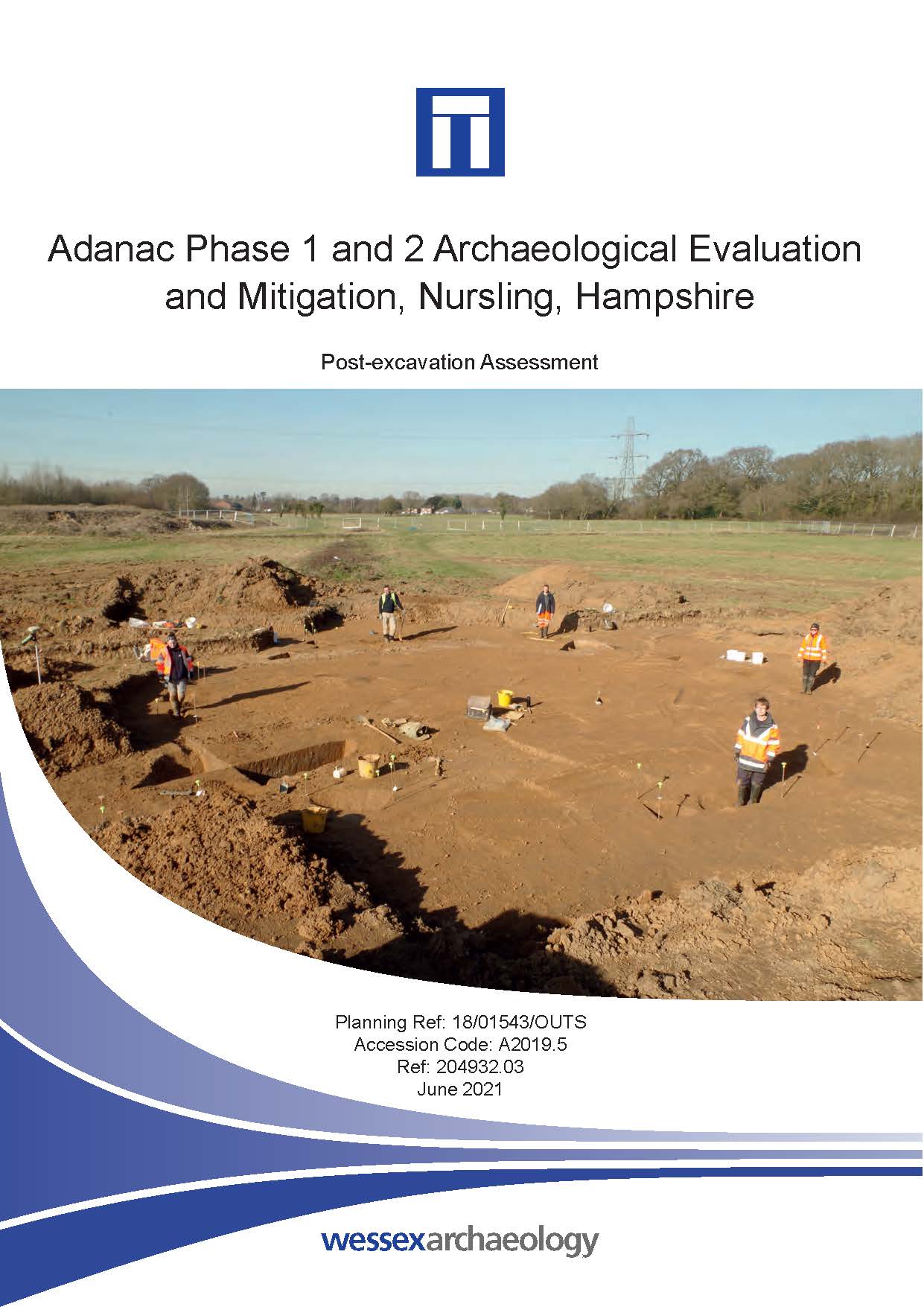
Adanac Phase 1 and 2 Archaeological Evaluation and Mitigation, Nursling, Hampshire - Post-excavation Assessment
Published: 2021-05-31
Subjects: Bronze Age Artefacts, Iron Age Settlement
The most significant archaeological feature was a mid Iron Age penannular enclosure within the centre of the Phase 1 area. The enclosure comprised three segmented ditches. Six postholes within the enclosure are likely to be contemporaneous, with two inside the eastern entrance and four forming a possible structure to the west of the centre. Stratigraphically later, but still largely [...]
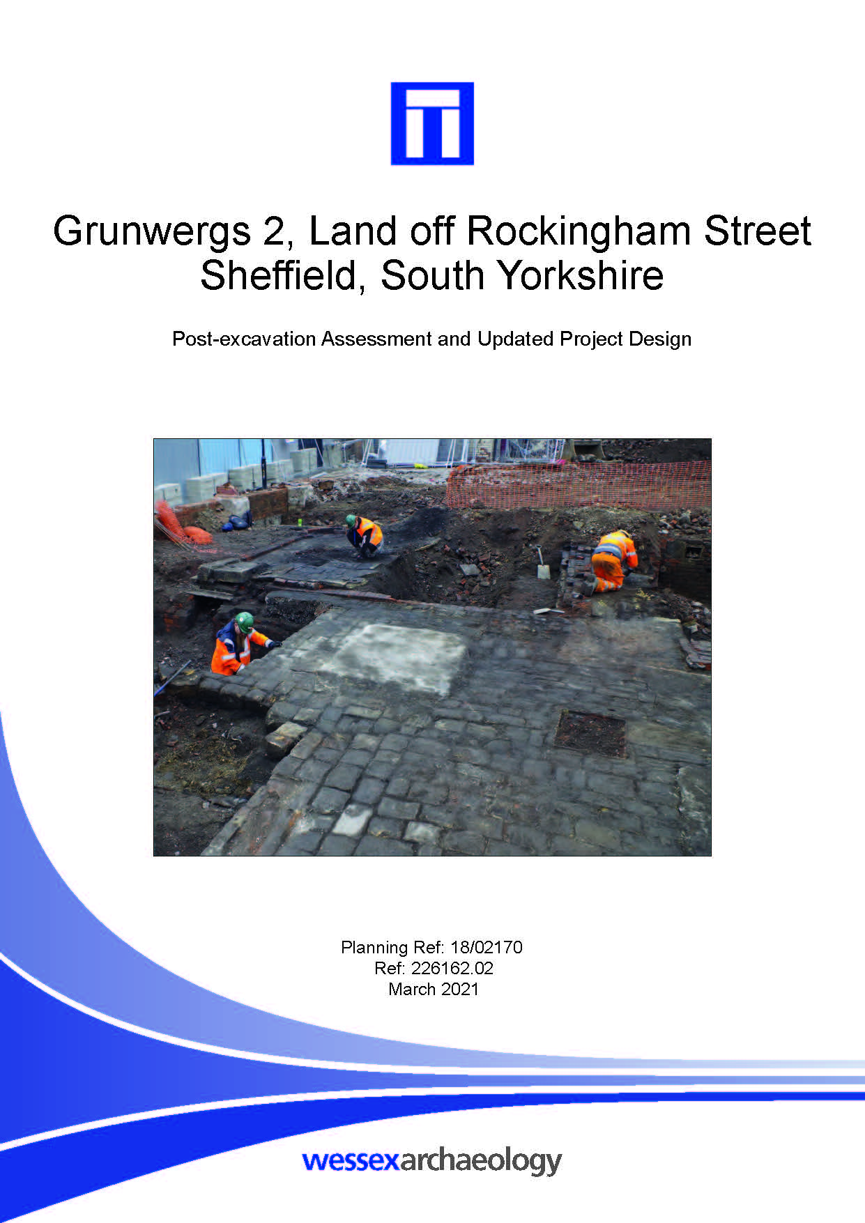
Grunwergs 2, Land off Rockingham Street, Sheffield, South Yorkshire - Post-excavation Assessment
Published: 2021-03-01
Subjects: Modern Industry, Modern Settlement, Modern Structure, Post-Medieval Structure
The results of the watching brief were consistent with the results of excavation from the mitigation and evaluation. The watching brief demonstrated that pockets of archaeological preservation were present across the site, with remains from the early- and late-19th century represented.
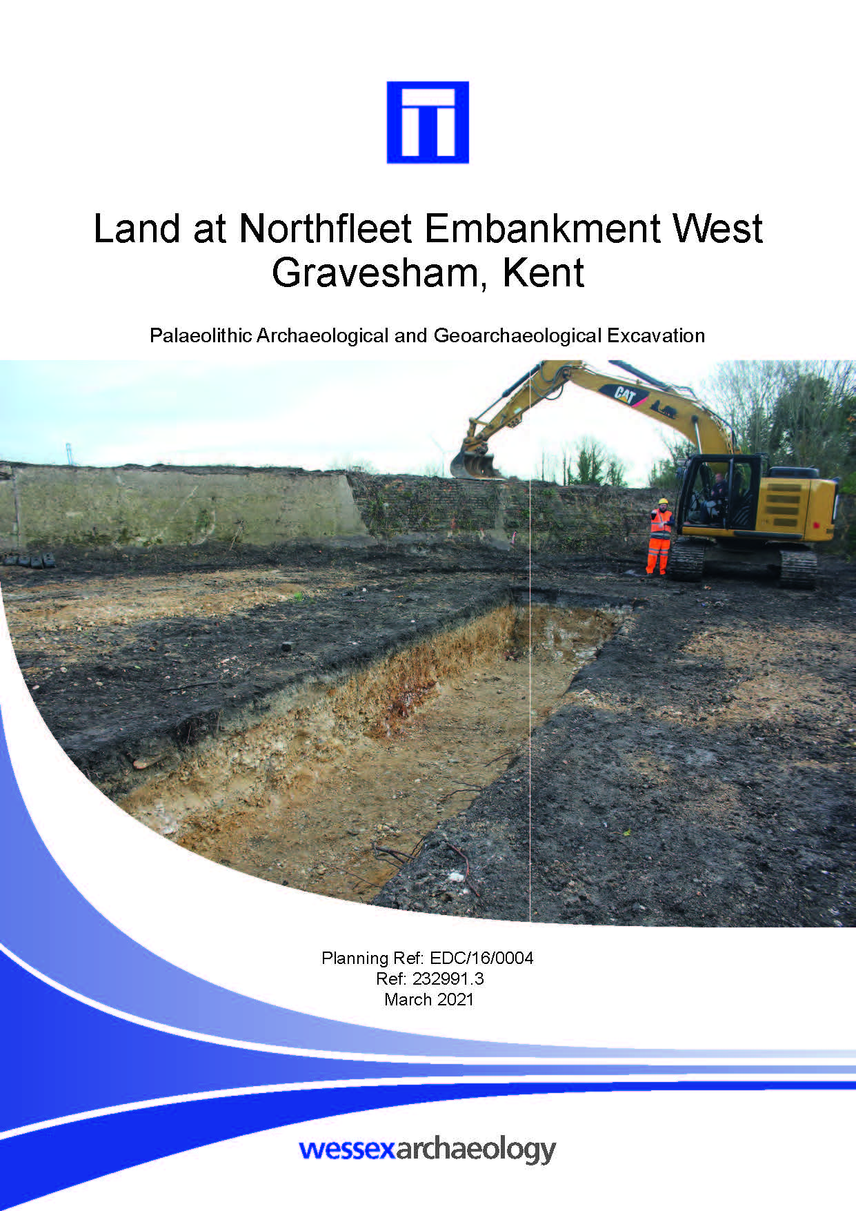
Land at Northfleet Embankment, West Gravesham, Kent - Palaeolithic Archaeological and Geoarchaeological Excavation Report
Published: 2021-02-28
Subjects: Geoarchaeology, Palaeolithic Flint
This document reports on Palaeolithic archaeological and geoarchaeological excavations in four areas, Areas 2 – 4, and Area 8. The report outlines the significance of the Palaeolithic archaeology present in these areas and provides an update on the archaeological and geoarchaeological potential of Quaternary deposits in all areas of the Site. Based on the results of these investigations, and [...]
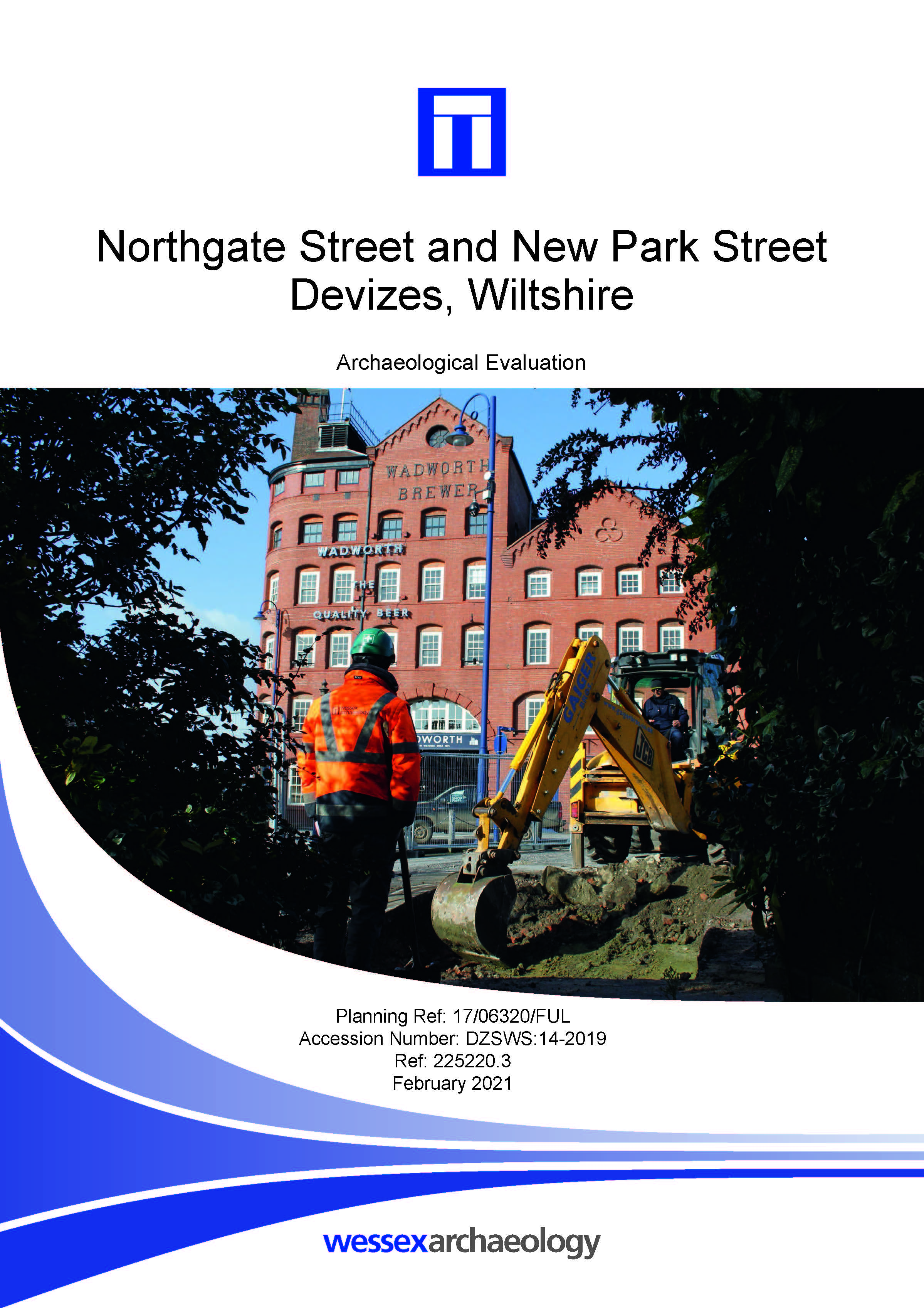
Northgate Street and New Park Street, Devizes, Wiltshire - Archaeological Evaluation Report
Published: 2021-01-31
Subjects: Medieval Structure, Post-Medieval Settlement
One feature of potential significance has been identified as a well of medieval date, though neither the date nor function are certain. The sample trenches also identified an earlier post-medieval pit, containing a mixed assemblage of artefacts (pottery, bone, CBM, glass etc). Together with a further pit and two postholes potentially from the late 17th century. A cellar wall may relate to [...]
Dredged Up - Issue 28
Published: 2021-01-01
Subjects: Marine Archaeology
Archaeology Finds Reporting Service Magazine Issue 28 Spring 2021
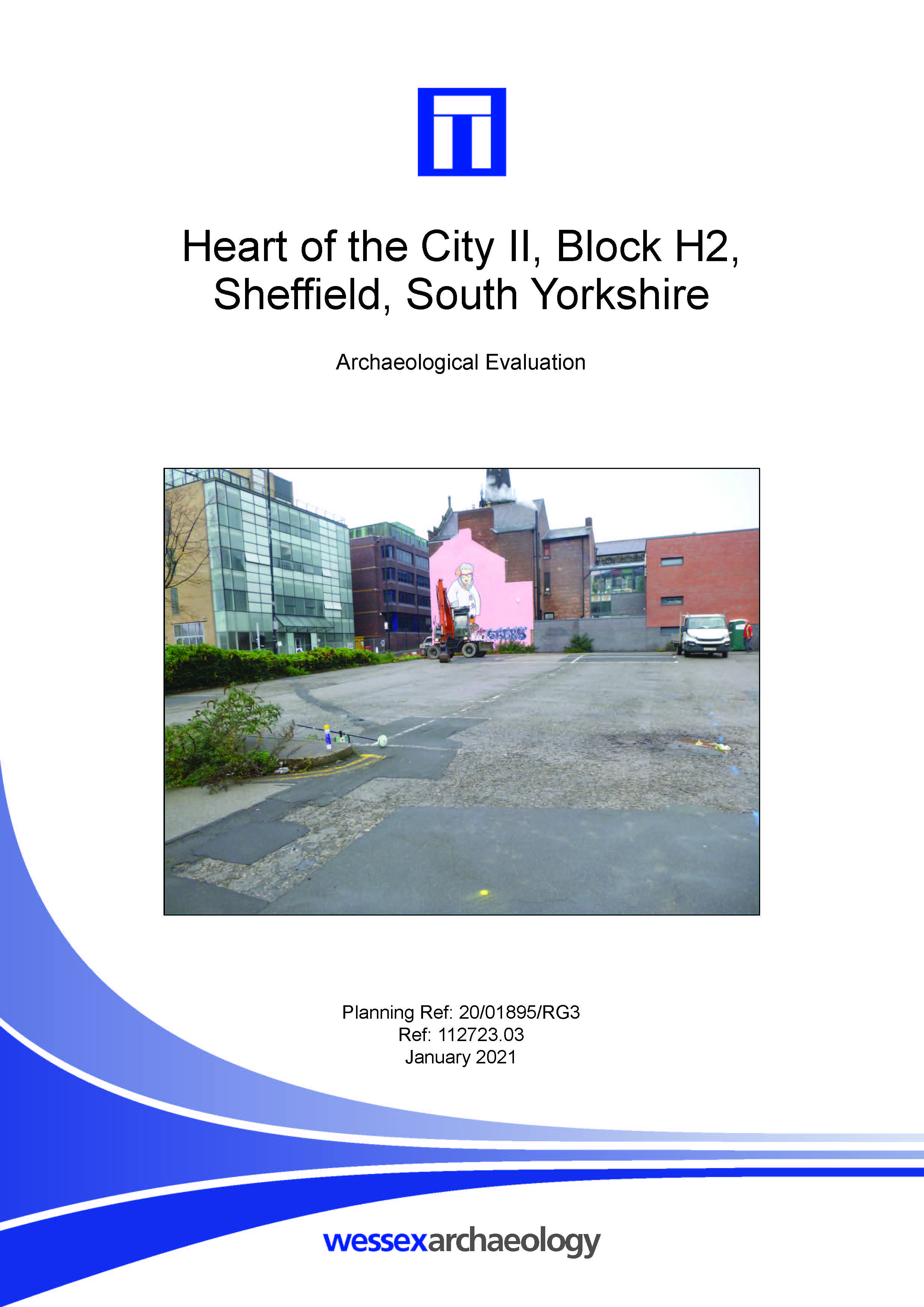
Heart of the City II, Block H2, Sheffield, South Yorkshire - Archaeological Evaluation Report
Published: 2020-12-31
Subjects: Modern Industry, Modern Structure
This report records the results of an archaeological evaluation. The evaluation was reduced from two trenches to one, due to the presence of live services. It was however, still demonstrated that archaeological structures and deposits survived on the site. The chronology of the observed remains was not reliably established, although given the background of the site it is almost certain that the [...]
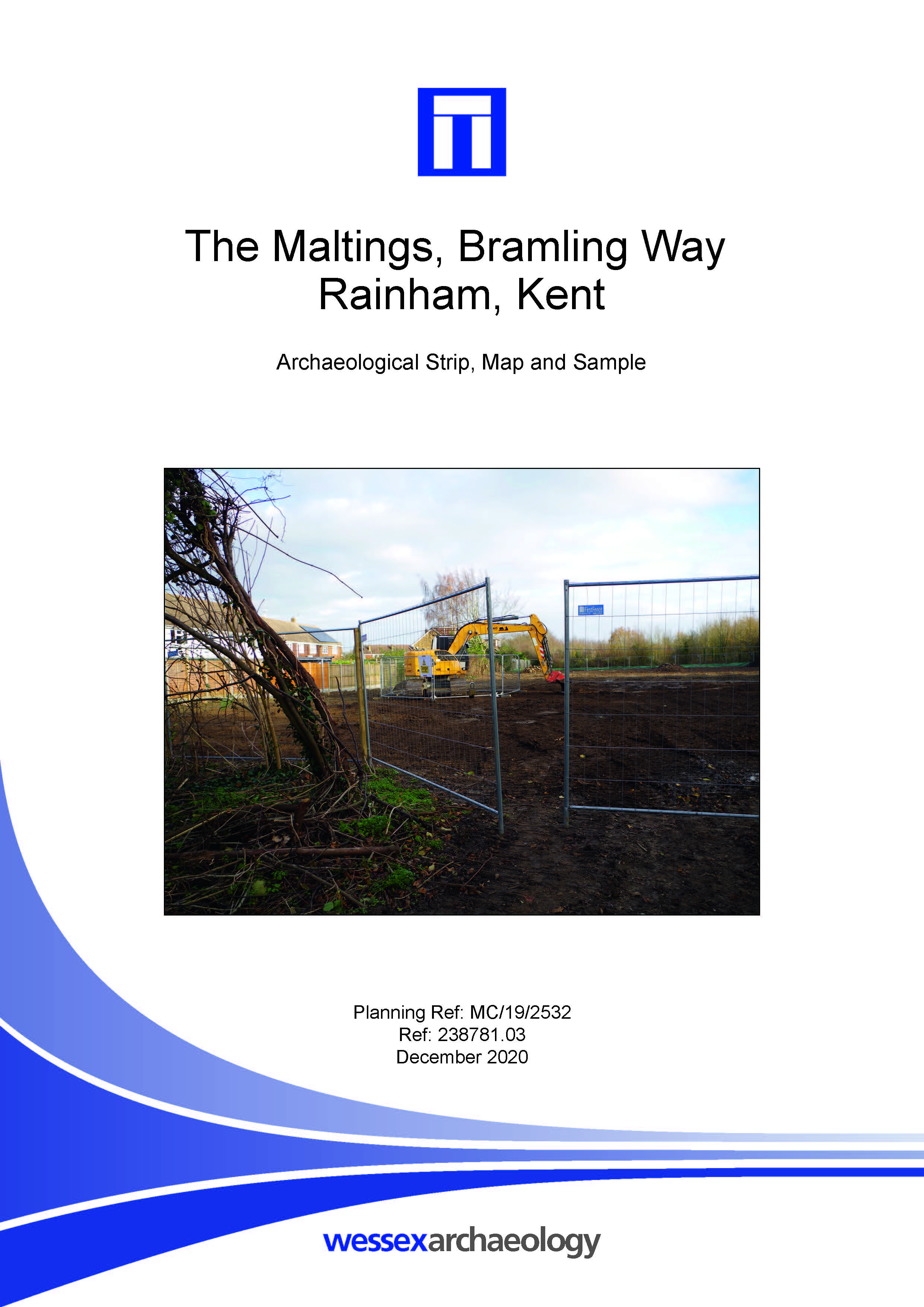
The Maltings, Bramling Way, Rainham, Kent - Archaeological Excavation Report
Published: 2020-11-30
Subjects: Bronze Age, Iron Age, Post Medieval
The archaeological works comprised a square area measuring 15m x 15m, targeted over Late Bronze Age / Middle Iron Age activity which had been identified during an archaeological evaluation (Phase 1). The archaeological investigation identified five features including postholes and pits, two of which were interpreted as tree throws or heavily truncated pits. The archaeological remains were [...]
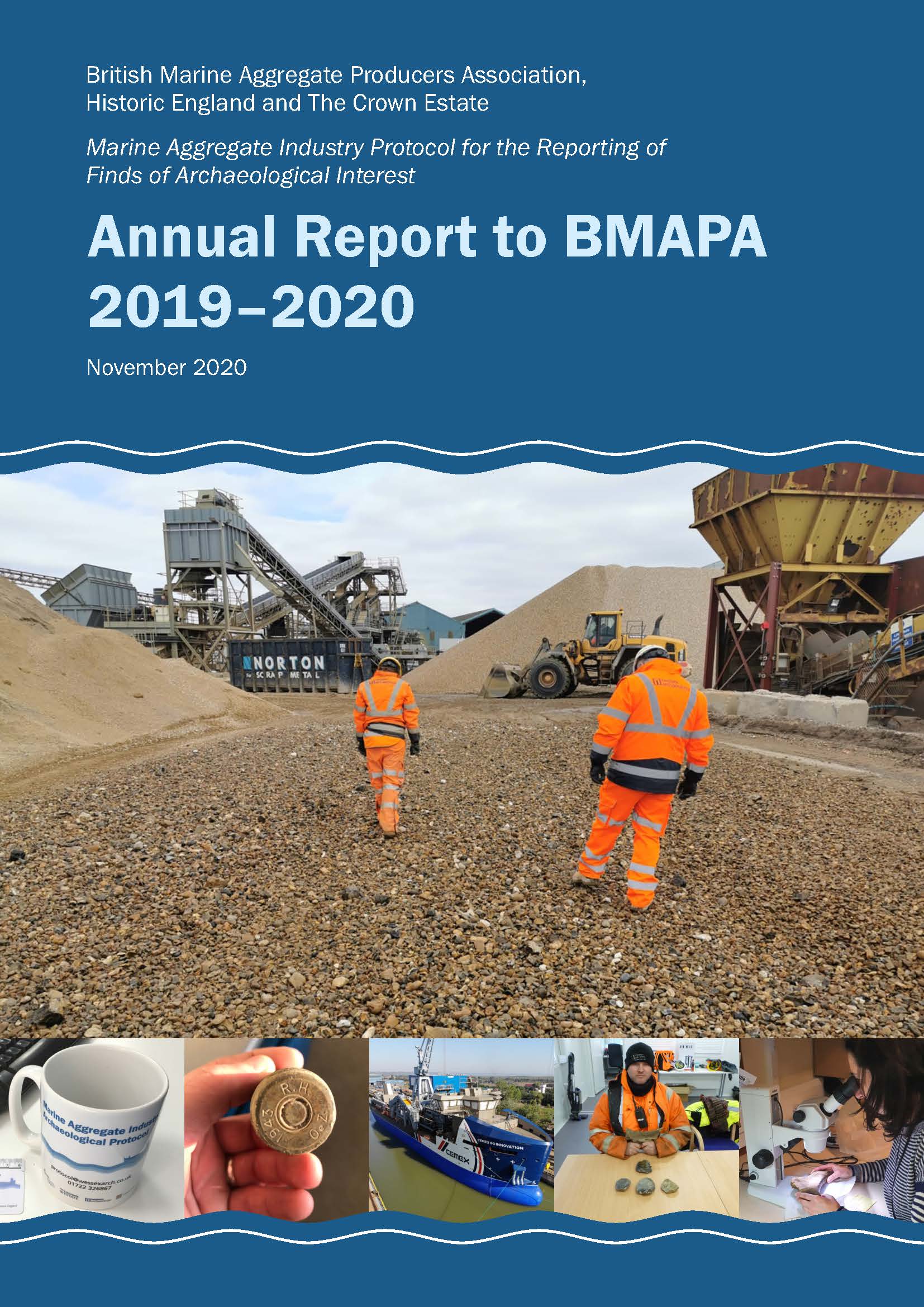
Annual Report to BMAPA 2019-2020
Published: 2020-11-01
Subjects: Marine Archaeology
British Marine Aggregate Producers Association, Historic England and The Crown Estate. Marine Aggregate Industry Protocol for the Reporting of Finds of Archaeological Interest.
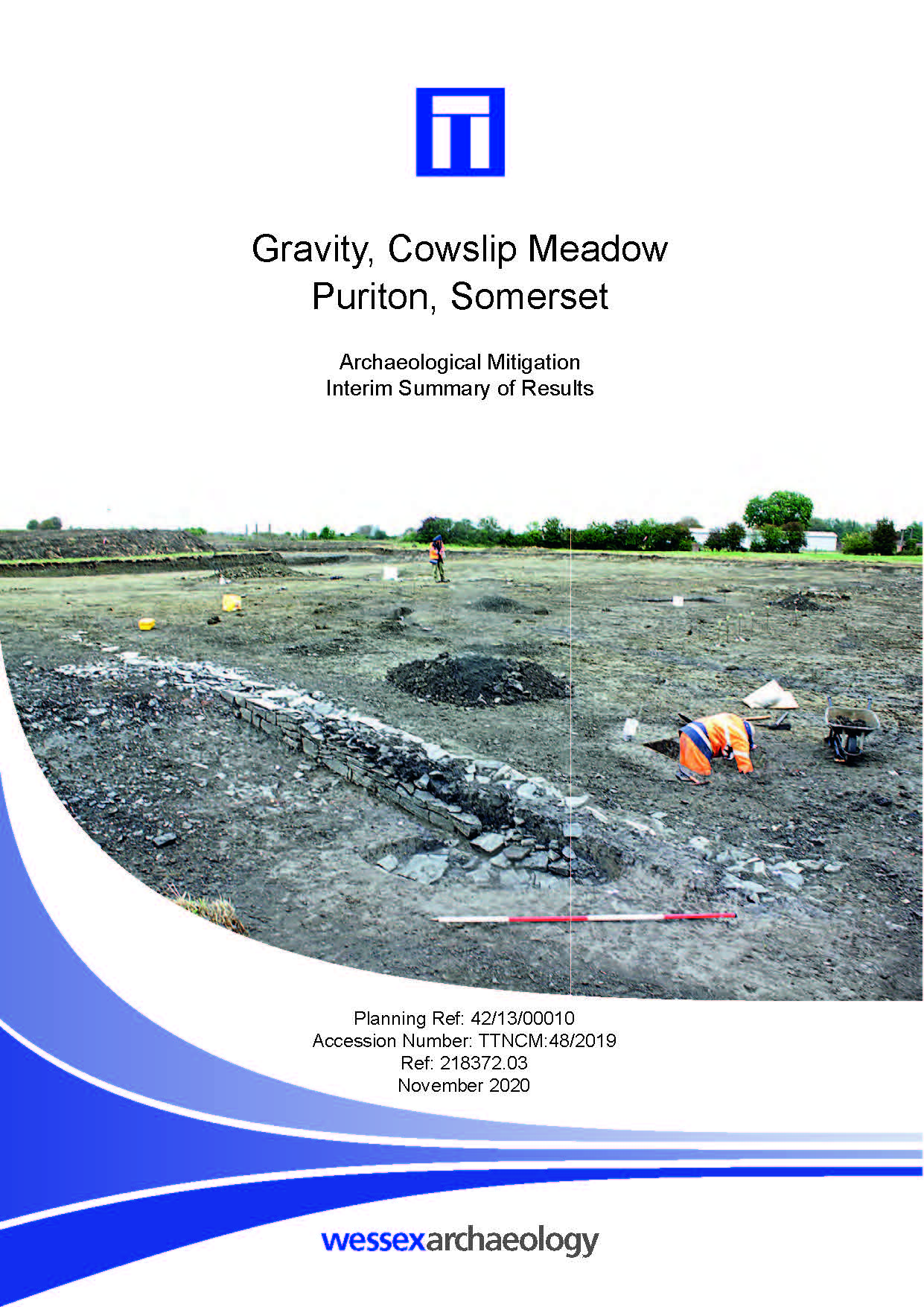
Gravity, Cowslip Meadow, Puriton, Somerset - Archaeological Mitigation Interim Summary of Results
Published: 2020-10-31
Subjects: Iron Age Enclosure, Romano-British Settlement, Romano-British Structure
Although the excavations were of relatively small scale, the later Iron Age and Romano- British remains revealed during the work are clearly significant and will contribute to our understanding of the distribution and character of activity in the local area during these periods.
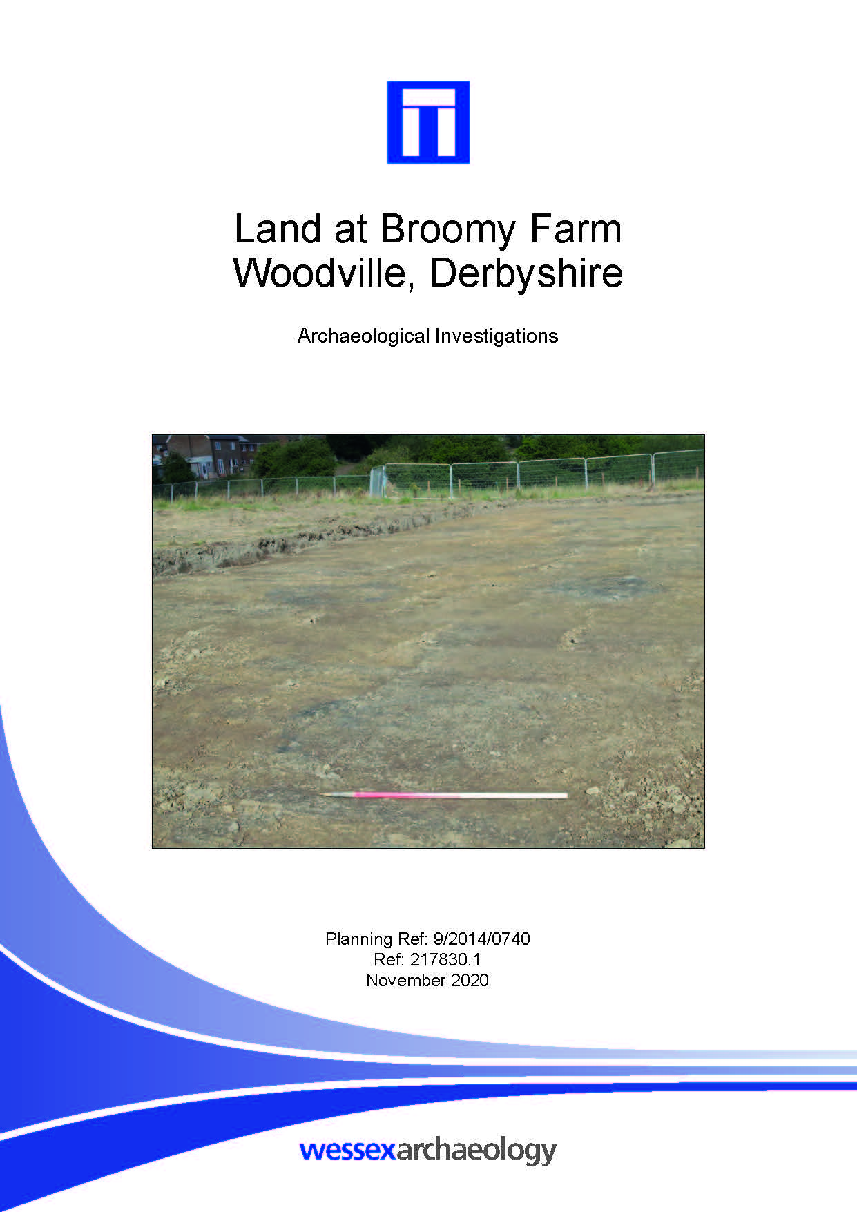
Land at Broomy Farm, Woodville, Derbyshire - Archaeological Investigations Report
Published: 2020-10-31
Subjects: Modern Industry, Post-Medieval Agriculture, Post-Medieval Industry
This report records the results of an archaeological watching brief and strip, map and sample excavation. The watching brief recorded a total of 99 shafts/bell pits which appear to relate to coal extraction. Post-medieval pottery recovered from the fills of one of the shafts suggest they may be related to previously identified coal workings on Woodville Road (HER No 20236). The strip, map and [...]