Reports
Our reports library includes fieldwork, geophysical, geoarchaeological, marine and post-excavation reports from our archaeological and heritage projects across the UK.
There are 458 Reports listed.
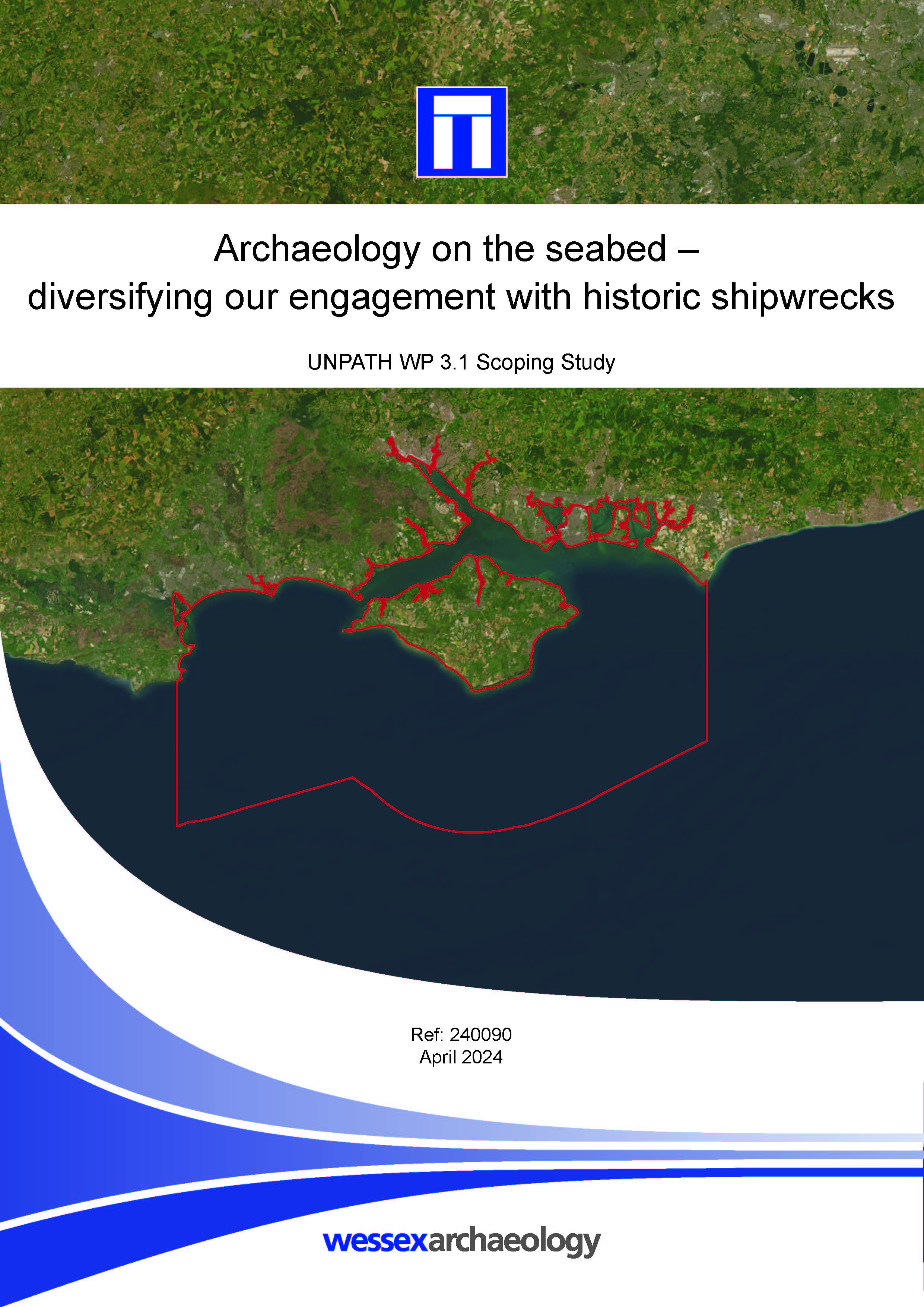
Archaeology on the seabed - diversifying our engagement with historic shipwrecks - Scoping Study
Published: 2024-04-01
Subjects: Marine Archaeology
Part of UNPATH Work Package 3.1, the subject matter examine historic shipwrecks in the Solent region, encompassing Portsmouth, Southampton, the Isle of Wight and surrounding territorial sea. By working with volunteer co-creators from local communities, it sought to identify new and exciting people-focused heritage narratives with contemporary resonance. Although the number of volunteers [...]
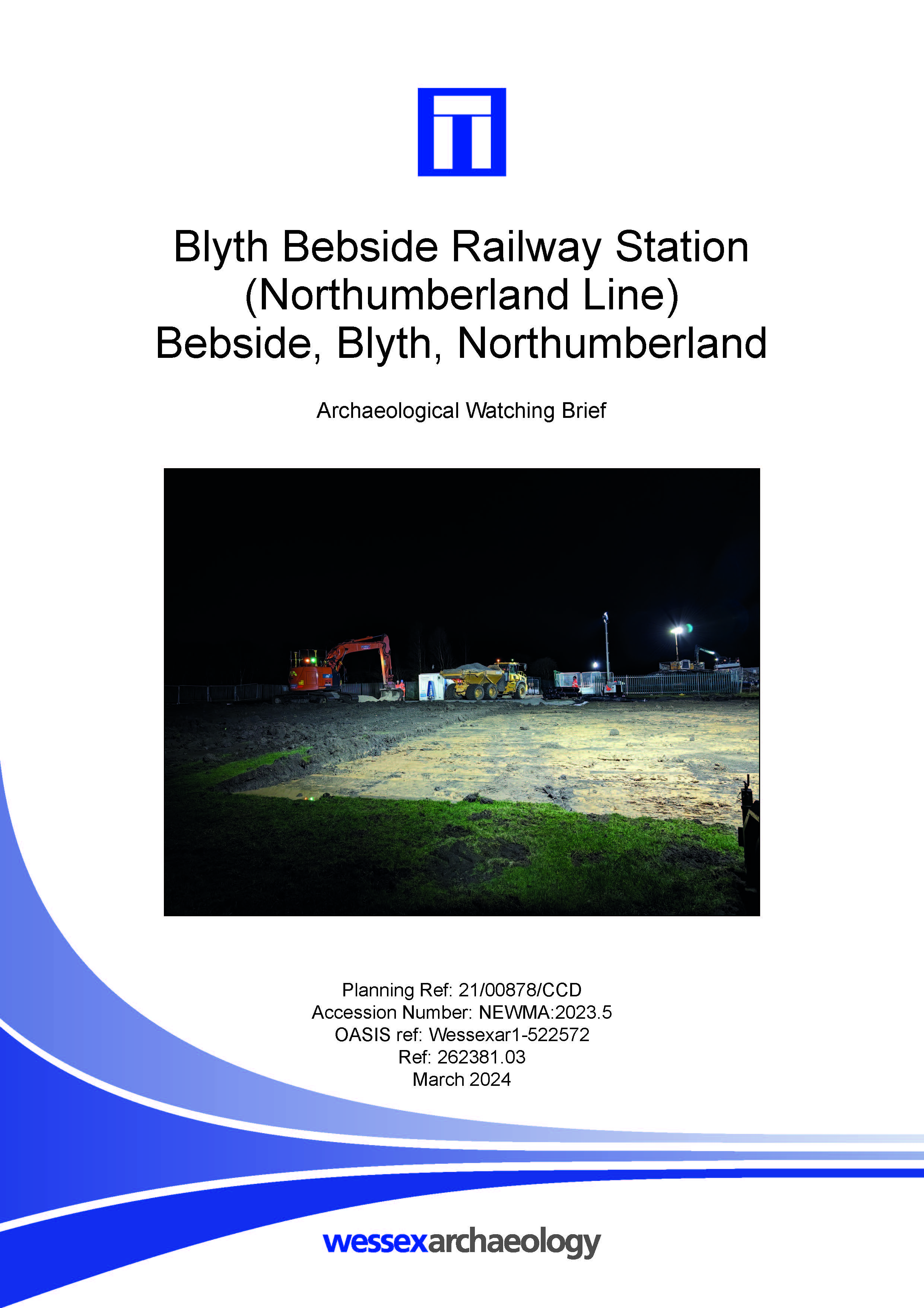
Blyth Bebside Railway Station (Northumberland Line). Archaeological Watching Brief
Published: 2024-03-01
Subjects: Modern Agriculture
The watching brief focused on an area to the east of the existing railway line in order to record any potential remains pertaining to Bebside colliery. However, no evidence of activity related to the Bebside Colliery extended into the development site. Three modern ditches or furrows and a pit were uncovered in the northern and south-eastern parts of the monitored area. Historic mapping shows [...]
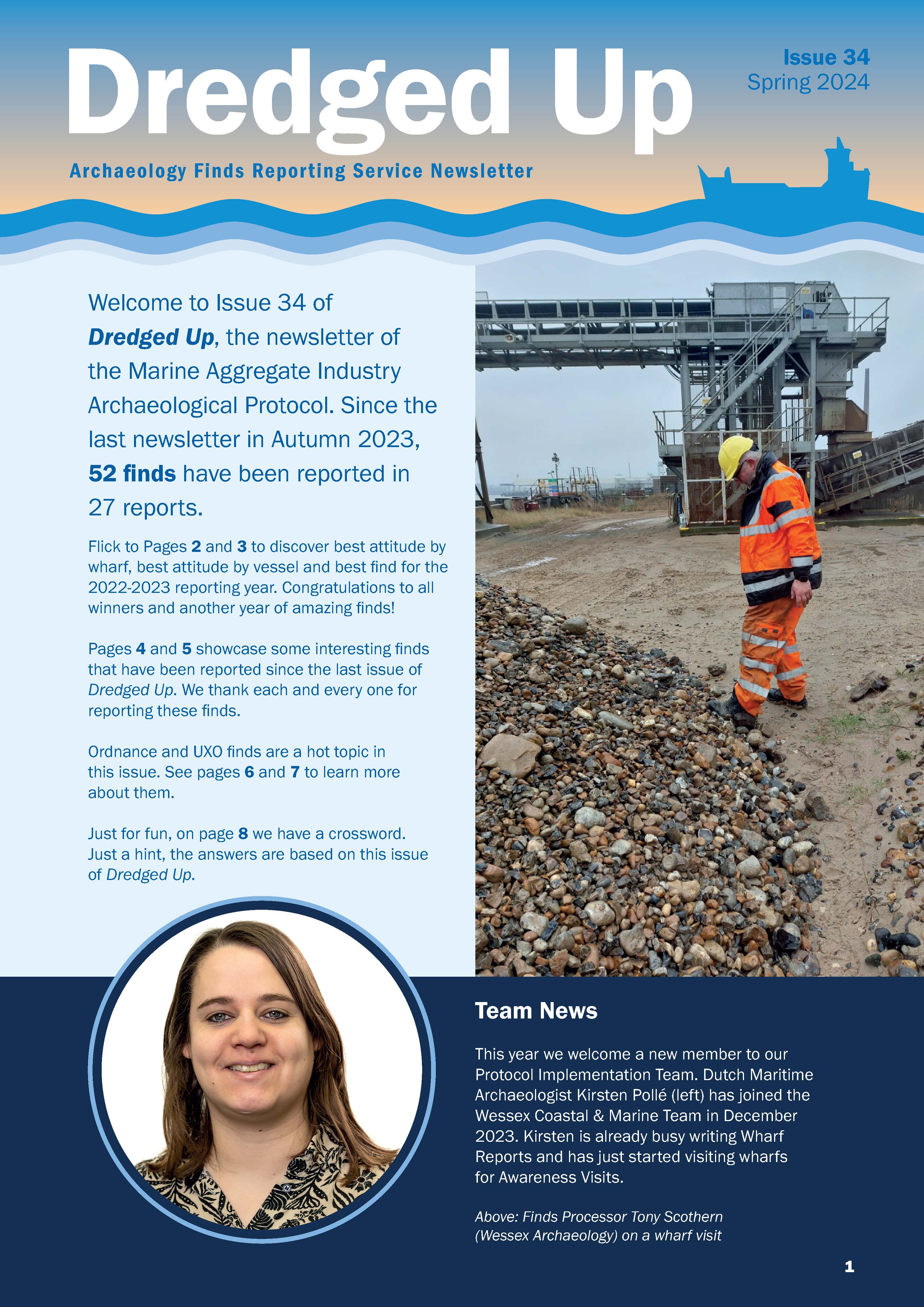
Dredged Up - Issue 34
Published: 2024-03-01
Subjects: Marine Archaeology
Archaeology Finds Reporting Service Magazine Issue 34 Spring 2024
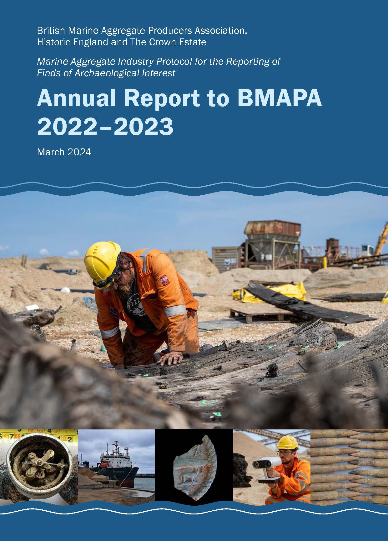
Annual Report to BMAPA 2022-2023
Published: 2024-03-01
Subjects: Marine Archaeology
British Marine Aggregate Producers Association, Historic England and The Crown Estate. Marine Aggregate Industry Protocol for the Reporting of Finds of Archaeological Interest.
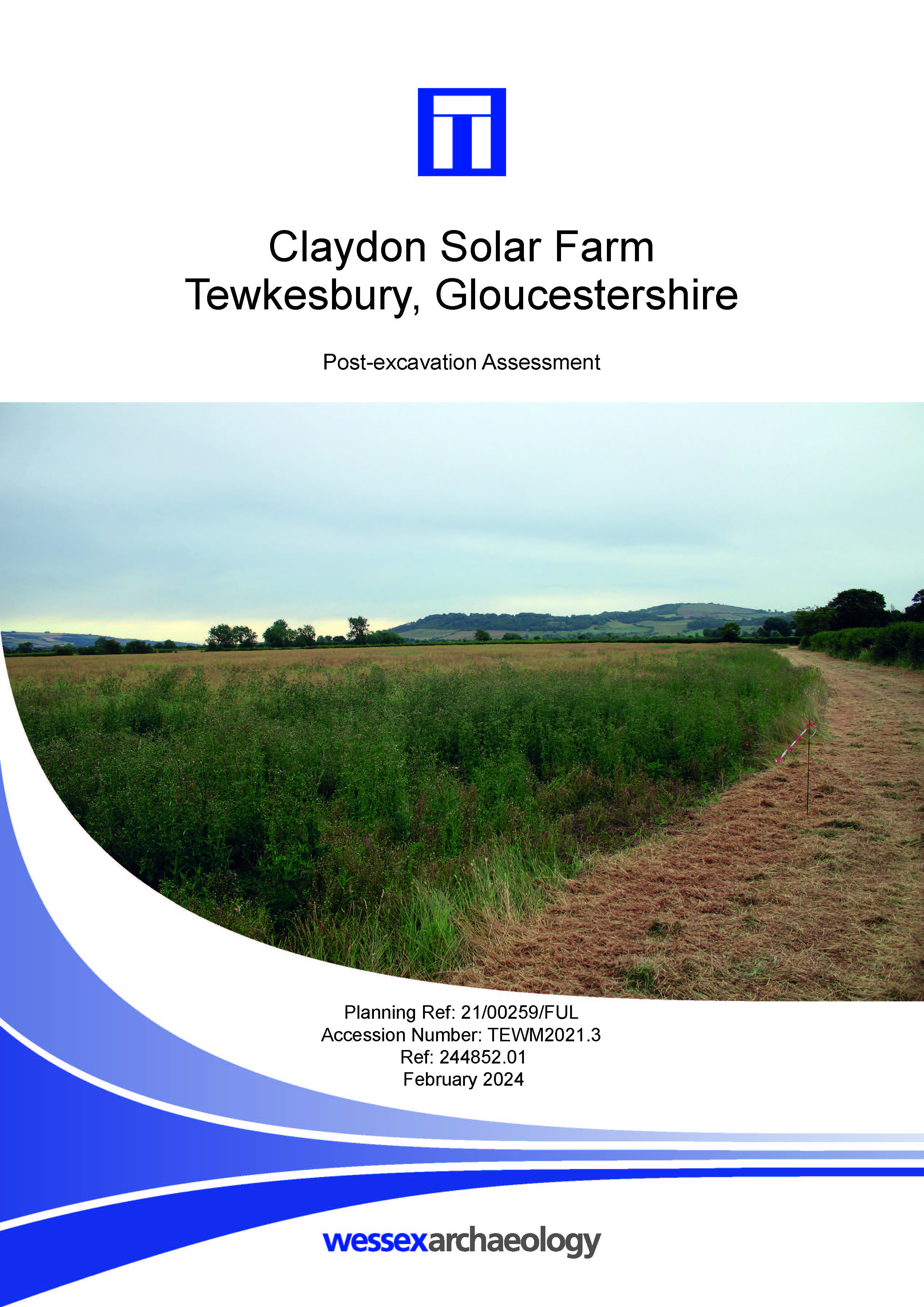
Claydon Solar Farm, Tewkesbury - Post-excavation Assessment
Published: 2024-02-01
Subjects: Iron Age Settlement, Post-Medieval Agriculture, Romano-British Settlement, Undated Archaeological Features
The archaeological mitigation works comprised the excavation of two areas covering a combined 0.88 hectares. The earliest archaeological activity encountered was a Late Iron Age ring ditch. The majority of other features were loosely dated as either Late Iron Age or Romano-British and comprised penannular enclosures, ditches, pits and postholes. These two phases of activity were recorded [...]

Burton Lazars, Leicestershire - Archaeological Evaluation
Published: 2024-02-01
Subjects: Post-Medieval Artefacts
A small finds assemblage was retrieved, comprising a single sherd of medieval pottery and fragments of post-medieval ceramic land drains. The evaluation revealed no remains pre-dating the medieval period and the results broadly corresponded with the earlier geophysical survey. The pond located in trench 1 matched an identified anomaly and also corresponded with a feature recorded on historical [...]
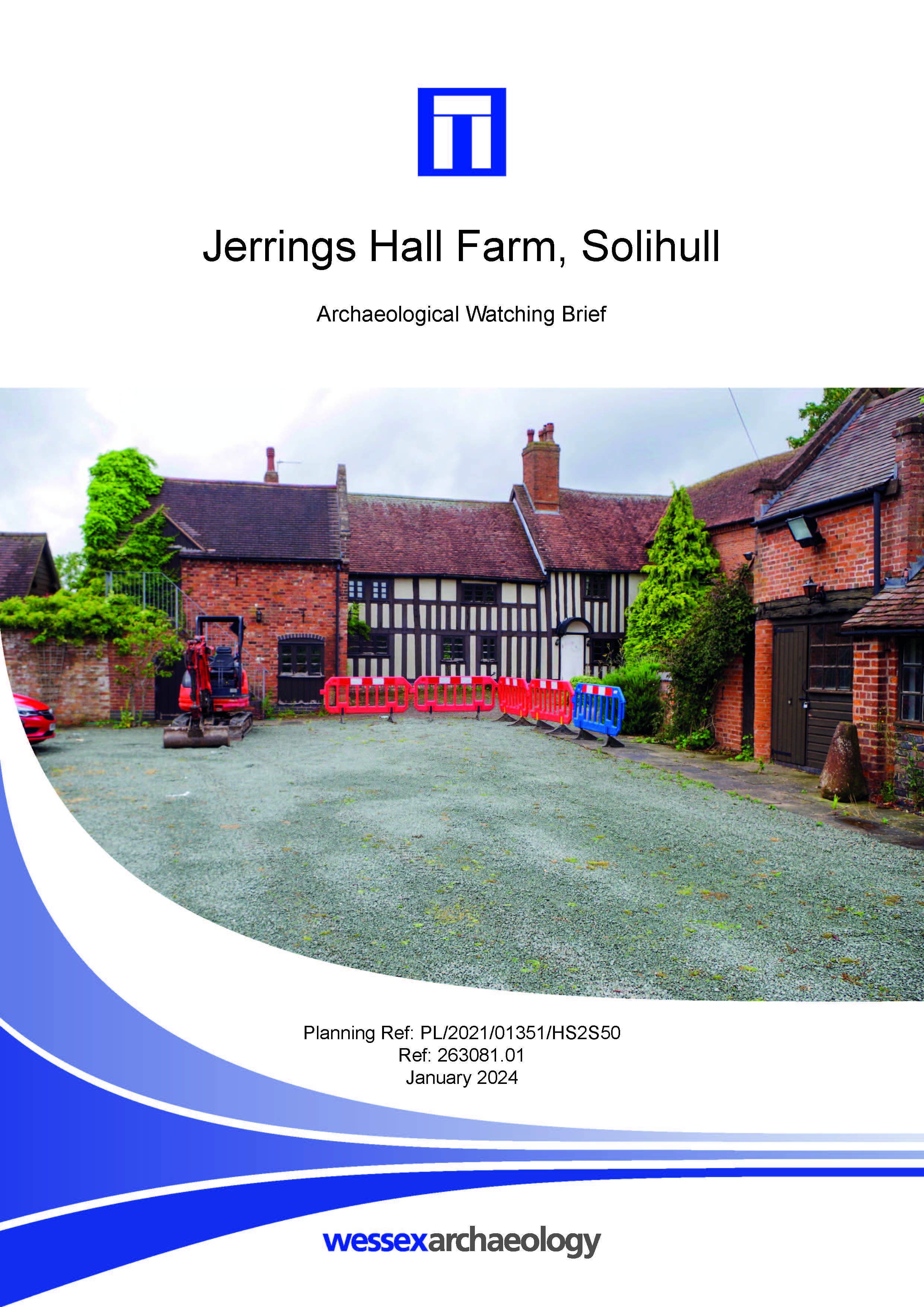
Jerrings Hall Farm, Solihull - Archaeological Watching Brief
Published: 2024-01-01
Subjects: Medieval, Post Medieval
A small number of archaeological features were uncovered across the site, with a greater concentration in the south and east where the land remains undeveloped. The earliest feature was a ditch located in the east, which contained a large unabraded sherd of medieval pottery. It is probable that the ditch was a remnant of the medieval agricultural landscape. Within the main house, the [...]

Main Road, Redmile, Leicestershire - Archaeological Watching Brief
Published: 2024-01-01
Subjects: No Archaeology
The excavation of stretches of open-cut trenching, launch/reception pits and trial holes were monitored during the watching brief. No archaeological remains were identified and notwithstanding the putative Roman road, the absence of archaeological remains supports the conclusions of an earlier Heritage Impact Assessment that noted the undeveloped and rural character of the land along most of [...]
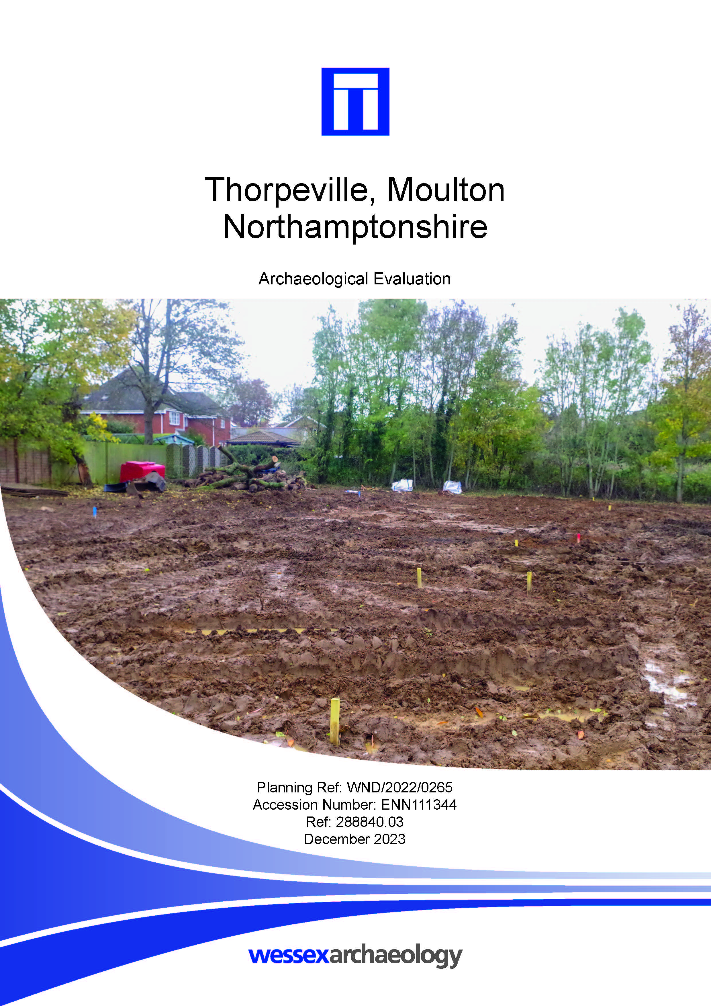
Thorpeville, Moulton, Northamptonshire - Archaeological Evaluation
Published: 2023-12-01
Subjects: Undated
Wessex Archaeology undertook an archaeological evaluation of a 1.02 ha parcel of land located to the rear of Woodlands, Thorpeville, Moulton in Northamptonshire. The evaluation area is centred on NGR 479179 265557. The aims of the evaluation have been met, although negatively. No significant archaeological features, deposits, structures or artefacts were identified. A single modern pit was [...]
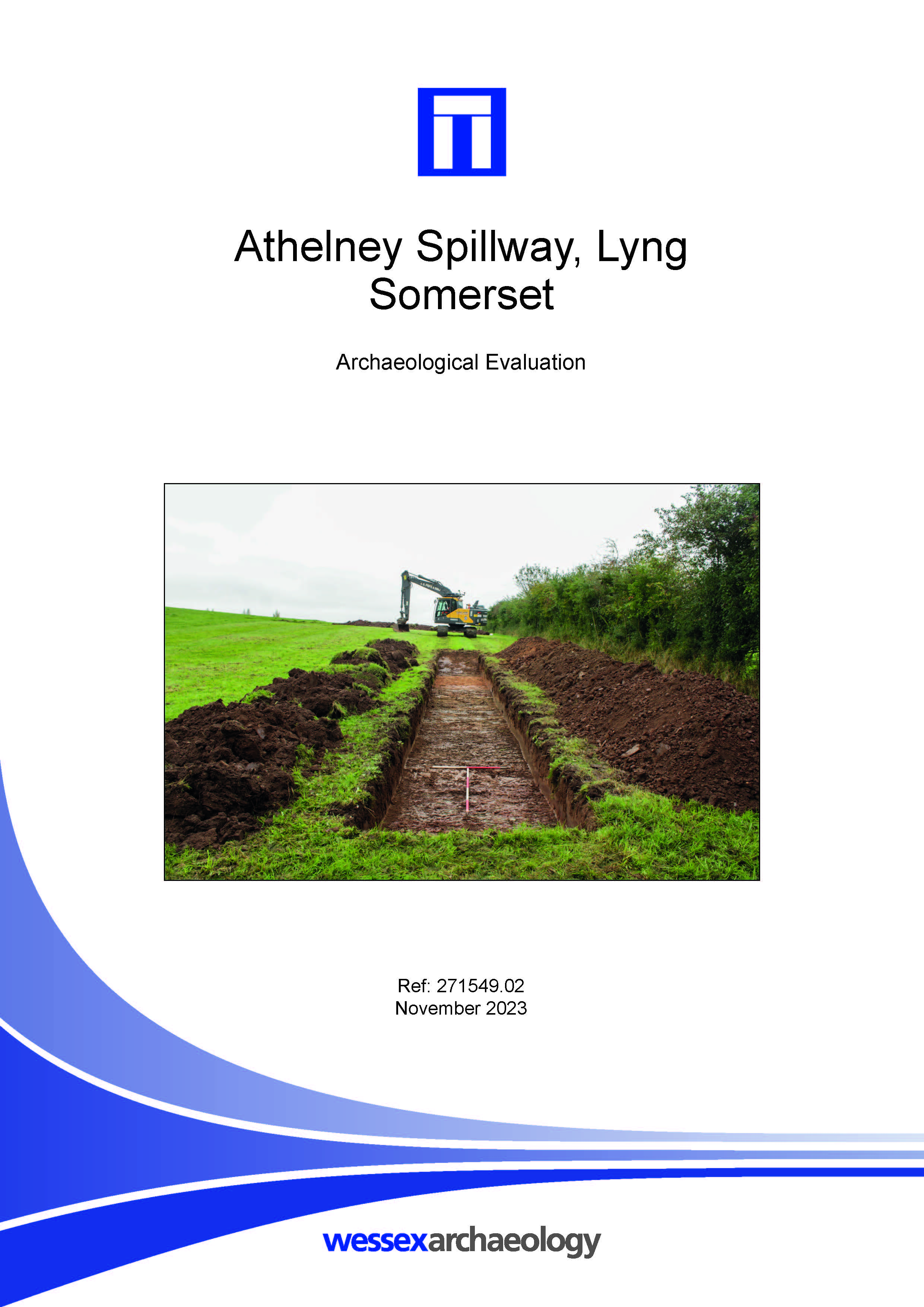
Athelney Spillway, Lyng, Somerset - Archaeological Evaluation
Published: 2023-11-01
Subjects: Iron Age, Mesolithic, Neolithic
The evaluation, which was undertaken on the 11–13 October 2023, comprised the excavation of five trenches measuring between 15 m and 35 m long, targeted on anomalies identified during a previous geophysical survey. The earliest human activity on the site is represented by Late Mesolithic/Early Neolithic struck flint, which was recovered from subsoil deposits and as residual material in later [...]
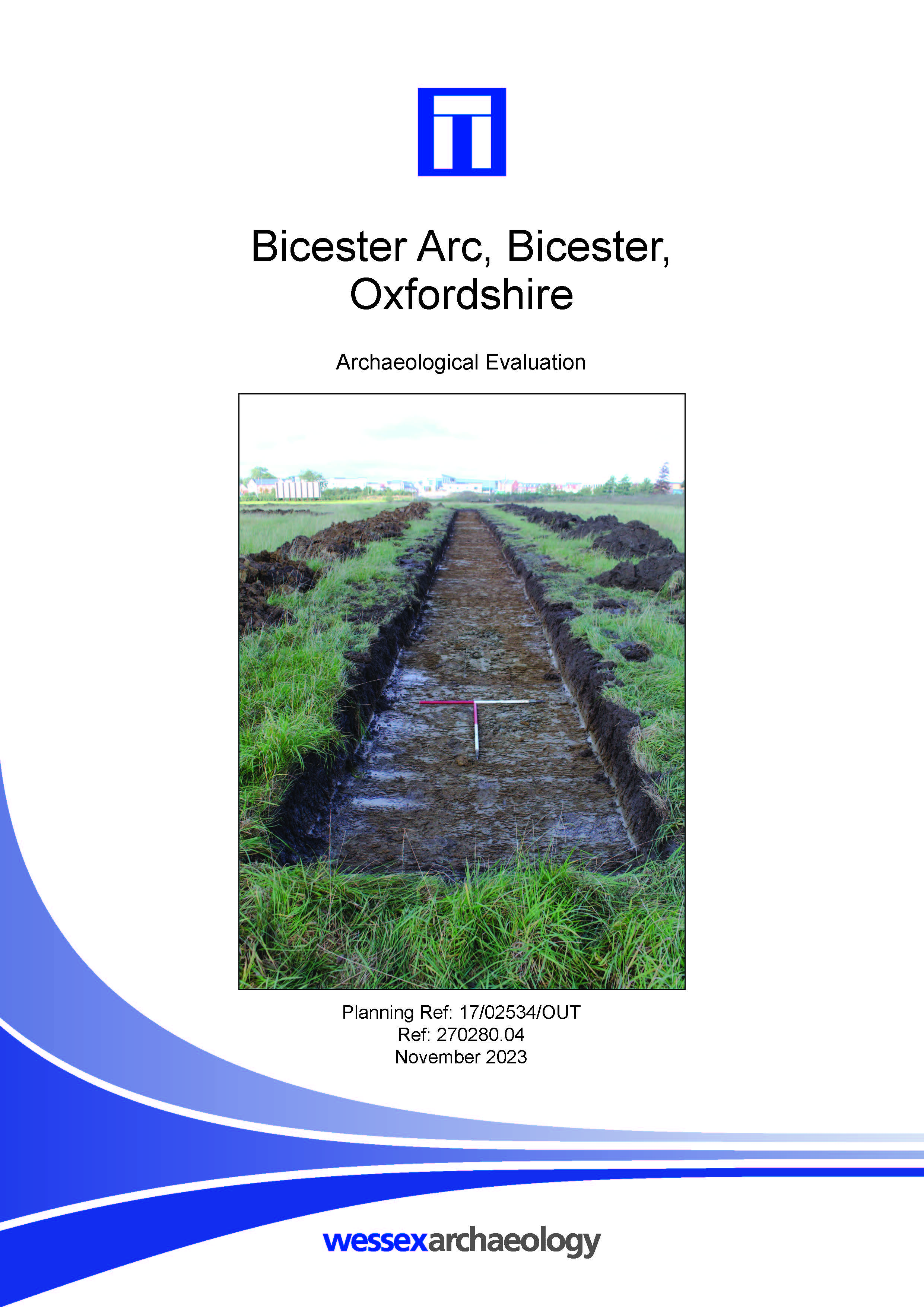
Bicester Arc, Bicester, Oxfordshire - Archaeological Evaluation
Published: 2023-11-01
Subjects: Medieval
Wessex Archaeology was commissioned to undertake an archaeological evaluation of a parcel of land north of Bicester Avenue Garden Centre, Oxford Road, Bicester, Oxfordshire; centred on NGR 457850 221584. A total of ten trenches were excavated, with nine trenches evaluating the area to the north west of the site and trench 10 evaluating the pond which is to be created 317 m to the south-east, [...]
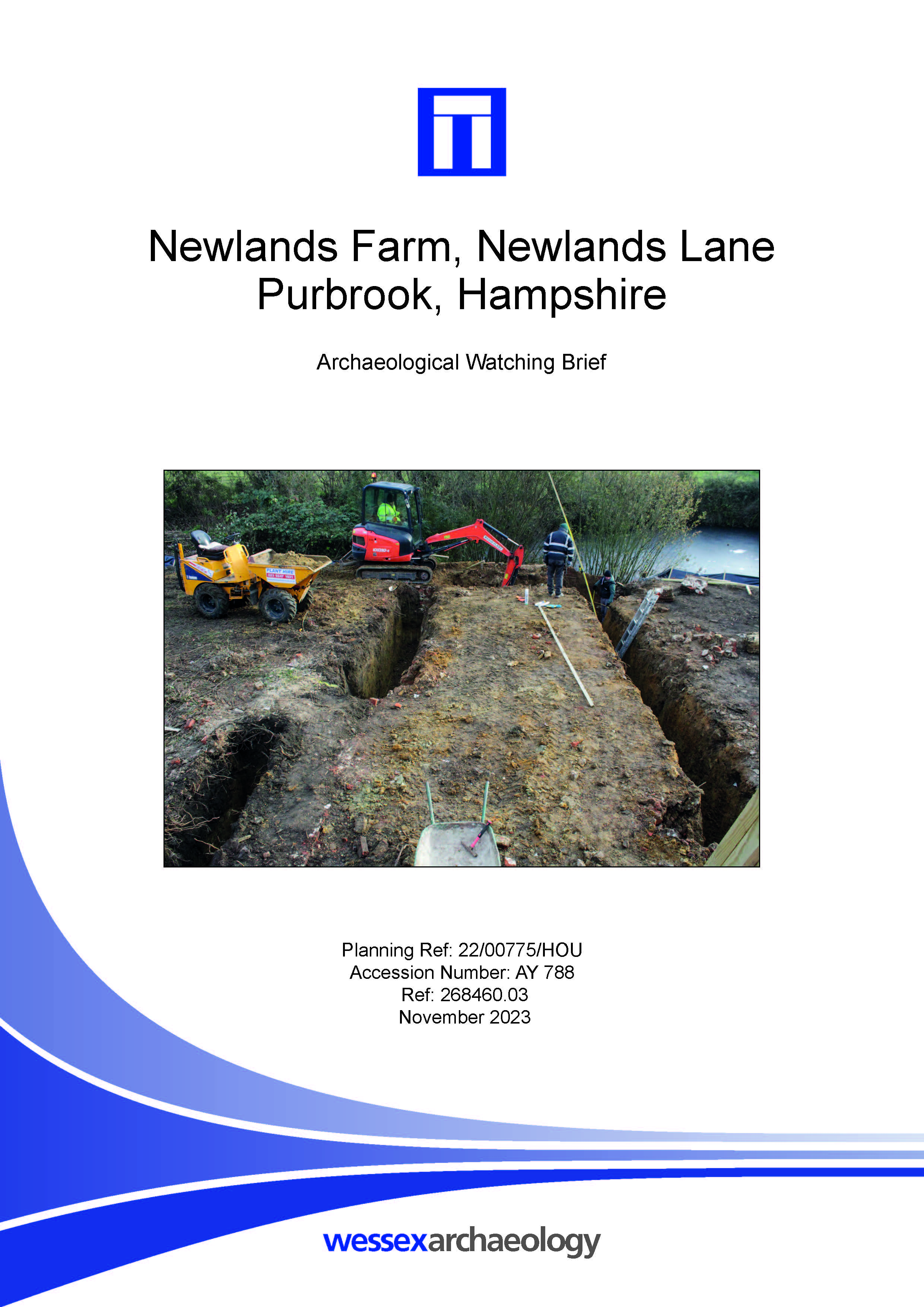
Newlands Farm, Newlands Lane, Purbrook, Hampshire - Archaeological Watching Brief
Published: 2023-11-01
Subjects: Undated
Wessex Archaeology undertook an archaeological watching brief during groundworks associated with the proposed refurbishment and redevelopment of Newland Farm. The monitored works were centred on NGR 466490 108660, at Newlands Farm, Newlands Lane, Purbrook, Hampshire, PO7 5SH. During the watching brief four areas were monitored, and numbered trenches 1 to 4. Trench 1 was located at the eastern [...]

Westbere Water Treatment Works, Canterbury, Kent - Archaeological Watching Brief
Published: 2023-11-01
Subjects: Undated
Wessex Archaeology was commissioned to undertake a programme of archaeological monitoring and recording during the installation of a proposed storm tank in the. The works consisted of the supervised excavation of two trenches located at Westbere Water Treatment Works (WTW), Island Road, Westbere, Canterbury (centred on NGR 619963 161201). Despite the potential for possible prehistoric [...]
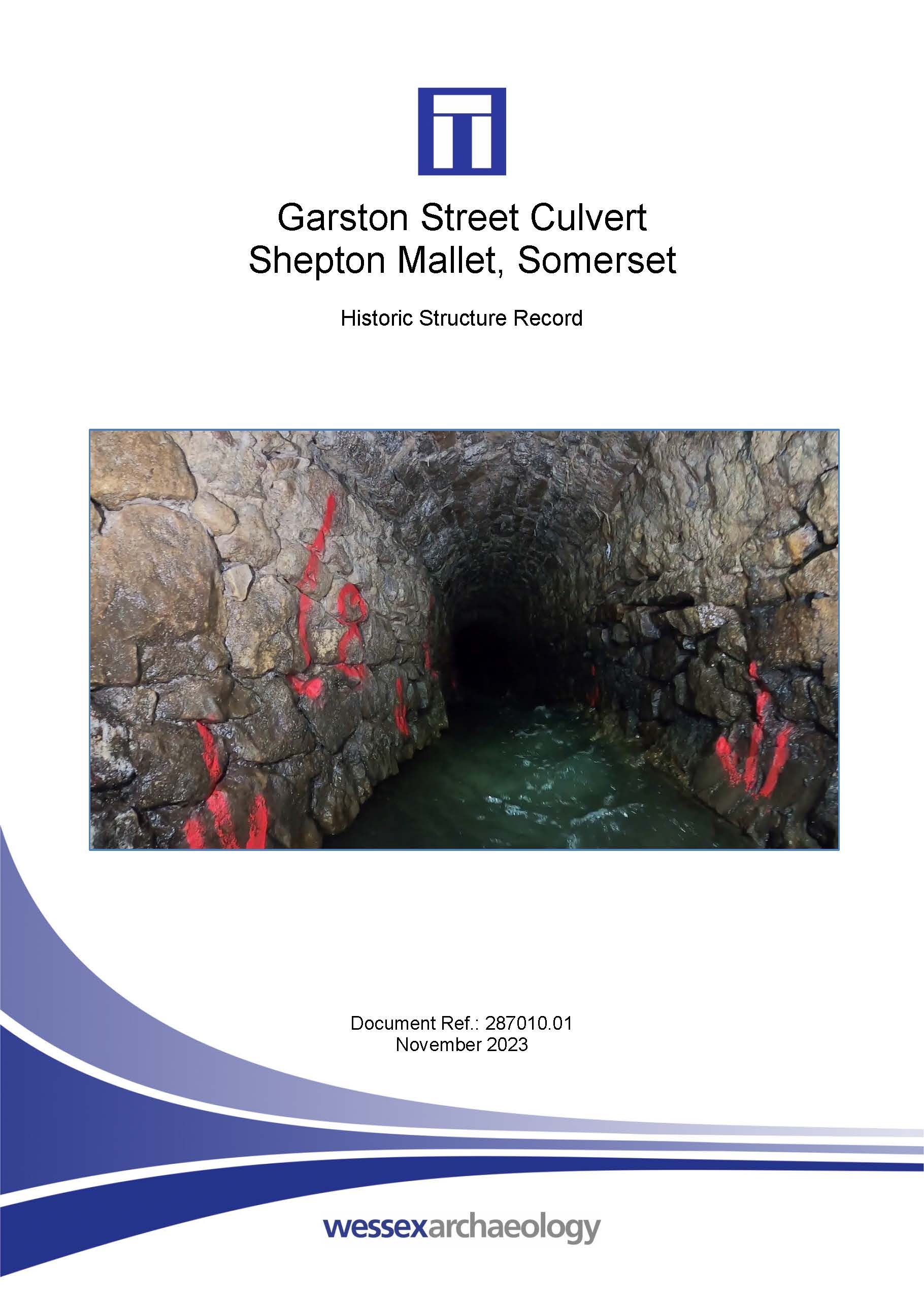
Garston Street Culvert, Shepton Mallet, Somerset - Historic Structure Record
Published: 2023-11-01
Subjects: 20th Century
Wessex Archaeology was commissioned to produce a historic structure record of a culvert at Garston Street, Shepton Mallet which runs from an inlet at National Grid Reference (NGR) 362195, 143710 along the south side of Garston Street, under the street and Leg Square, where it briefly splits in two, and along the north side of Lower Lane to an outlet located at NGR 362030, 143764 beside Bridge [...]
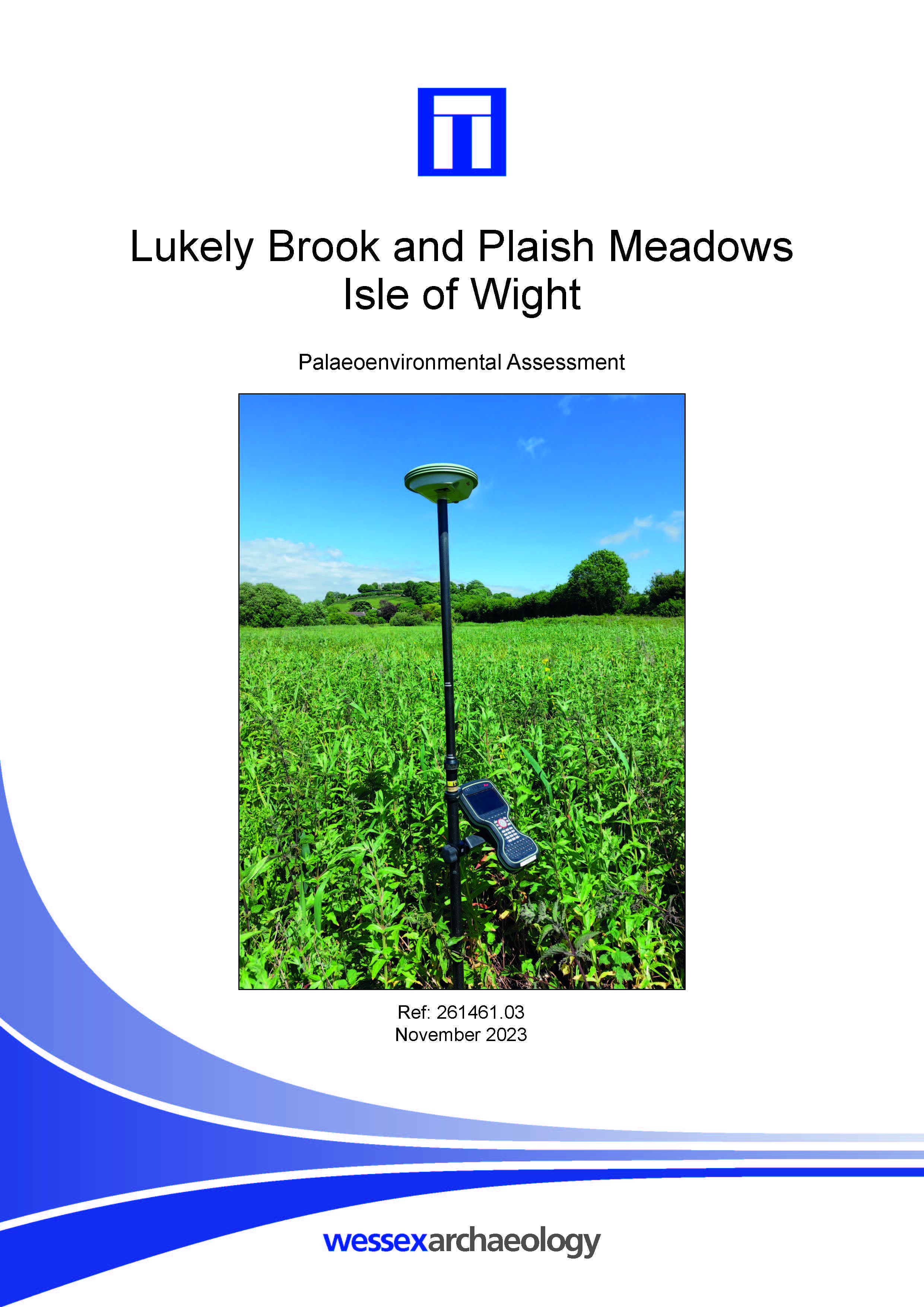
Lukely Brook and Plaish Meadows, Isle of Wight - Palaeoenvironmental Assessment
Published: 2023-11-01
Subjects: Geoarchaeology
A programme of geoarchaeological borehole survey, palaeoenvironmental assessment and scientific dating was undertaken at Lukely Brook and Plaish Meadows. A total of twelve boreholes were undertaken at the Site. Four boreholes were located within the Scheduled Monument, each of which was positioned to investigate the peaty deposit and palaeochannel sediments. An additional borehole (WA-04) was [...]