Reports
Our reports library includes fieldwork, geophysical, geoarchaeological, marine and post-excavation reports from our archaeological and heritage projects across the UK.
There are 458 Reports listed.
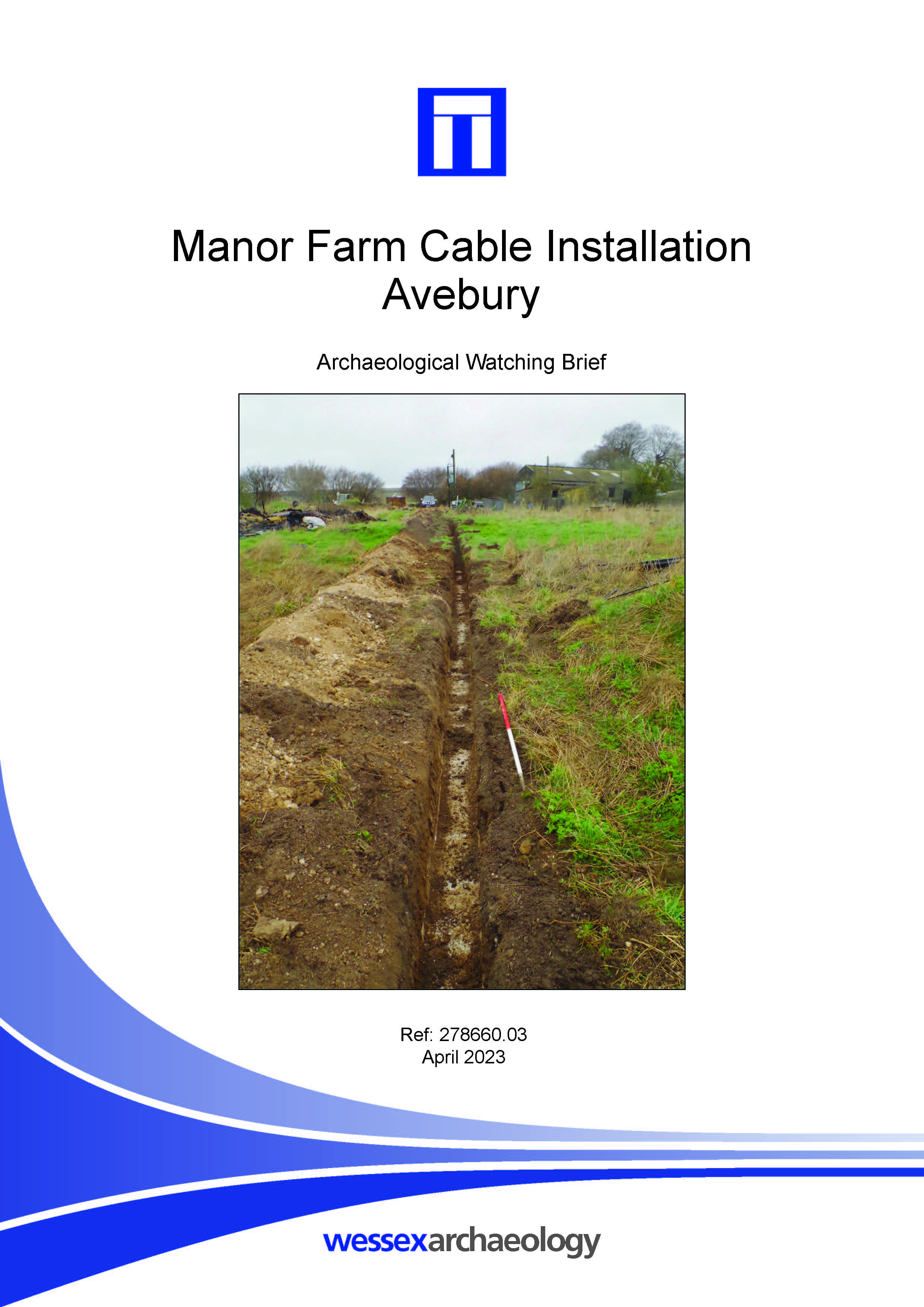
Manor Farm Cable Installation, Avebury - Archaeological Watching Brief Report
Published: 2023-04-01
Subjects: No Archaeological Features, Prehistoric Flint
No archaeological features or deposits were exposed during the archaeological monitoring and recording. One piece of worked flint was recovered from the subsoil which was broadly dated to the Late Neolithic/Early Bronze Age. This ties in with the surrounding landscape which has signs of heavy activity during this time.
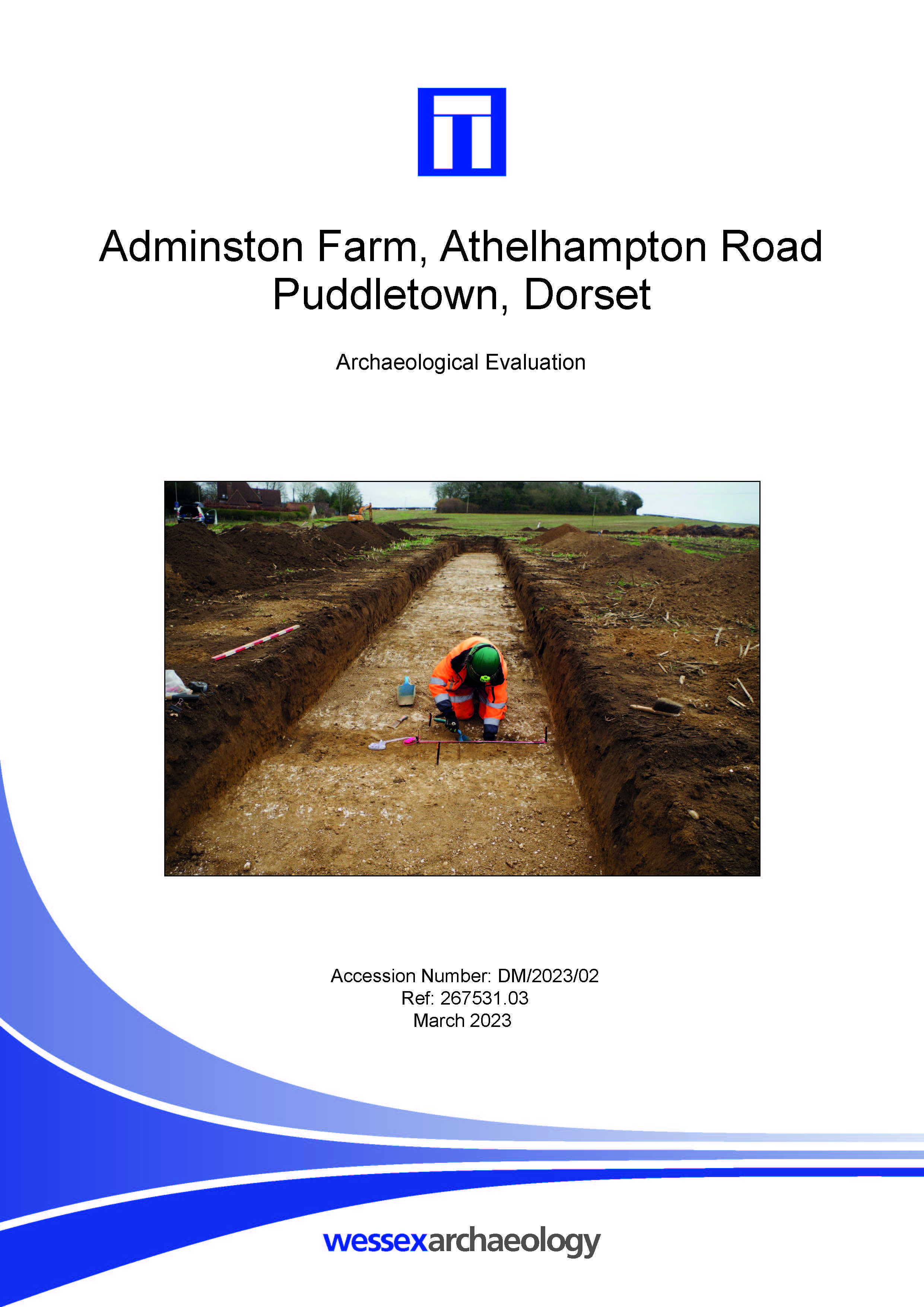
Adminston Farm, Athelhampton Road, Puddletown, Dorset - Archaeological Evaluation Report
Published: 2023-03-01
Subjects: Prehistoric Flint, Undated Archaeological Features
One of the trenches contained archaeological features and deposits. Two parallel linear features were recorded, and a small quantities of worked flint and clay pipe were recovered from the topsoil layers. The worked flint indicates a general background of prehistoric activity tentatively dating to the Later Neolithic or Bronze Age within the site, and larger assemblages of worked flint dating to [...]
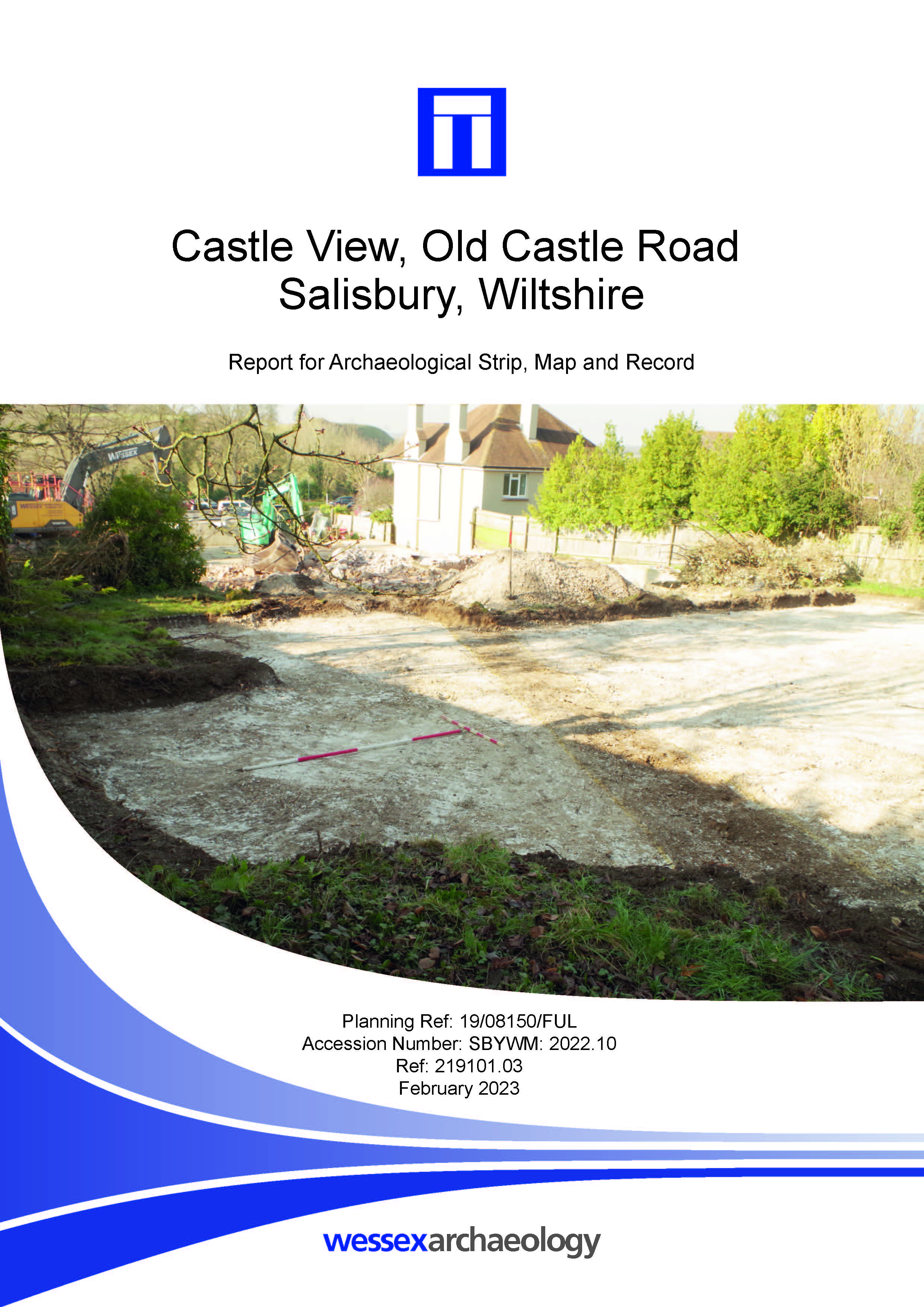
Castle View, Old Castle Road, Salisbury, Wiltshire - Report for Archaeological Strip, Map and Record
Published: 2023-02-01
Subjects: Medieval
Wessex Archaeology was commissioned to undertake an archaeological strip, map and record (SMR) excavation on currently undeveloped land located to the rear of Castle View Rest Home, 8 Old Castle Road, Salisbury. The stratigraphy across the SMR area consisted of a shallow garden topsoil below which was a shallow subsoil most likely derived from hillwash / colluvium related material. The [...]
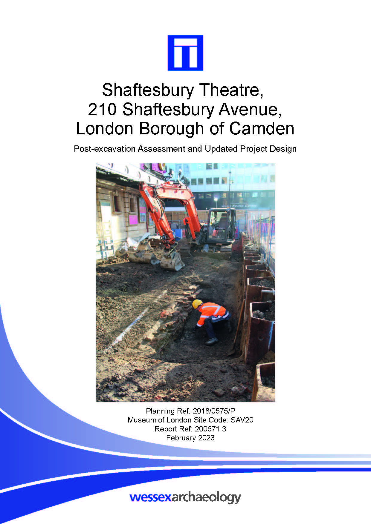
Shaftesbury Theatre, 210 Shaftesbury Avenue, London Borough of Camden - Post-excavation Assessment and Updated Project Design
Published: 2023-02-01
Subjects: 20th Century, Post Medieval
The evaluation comprised the excavation of three trial trenches which identified archaeological remains and deposits across the site, including walls, a culvert, pits and a posthole dating to the 16th to 19th centuries; a single possible medieval feature was also identified. Multiple layers of made ground, measuring between 1.4 m and 2.54 m thick, suggested build up and alteration of the site. [...]
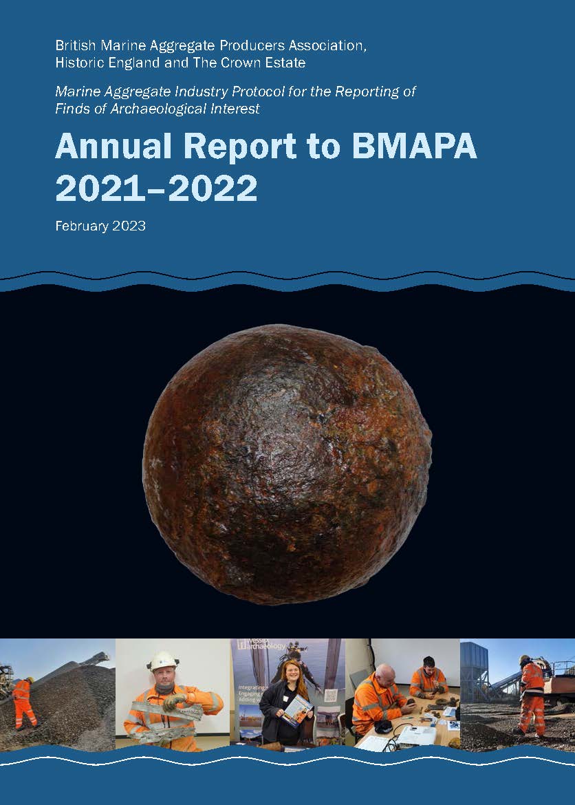
Annual Report to BMAPA 2021-2022
Published: 2023-02-01
Subjects: Marine Archaeology
British Marine Aggregate Producers Association, Historic England and The Crown Estate. Marine Aggregate Industry Protocol for the Reporting of Finds of Archaeological Interest.

Heatherside Junior School, Fleet, Hampshire - Ground Penetrating Radar Survey Report
Published: 2023-01-01
Subjects: Geophysical Survey
A Ground Penetrating Radar (GPR) survey was conducted over land at Heatherside Junior School, Fleet, Hampshire (centred on NGR 481097 153477). The site comprises a grass school playing field, within the town of Fleet, 6 km west of the town of Farnborough, Hampshire, covering an area of 670 sq. m. The ground penetrating radar survey identified anomalies of archaeological origin, and those [...]
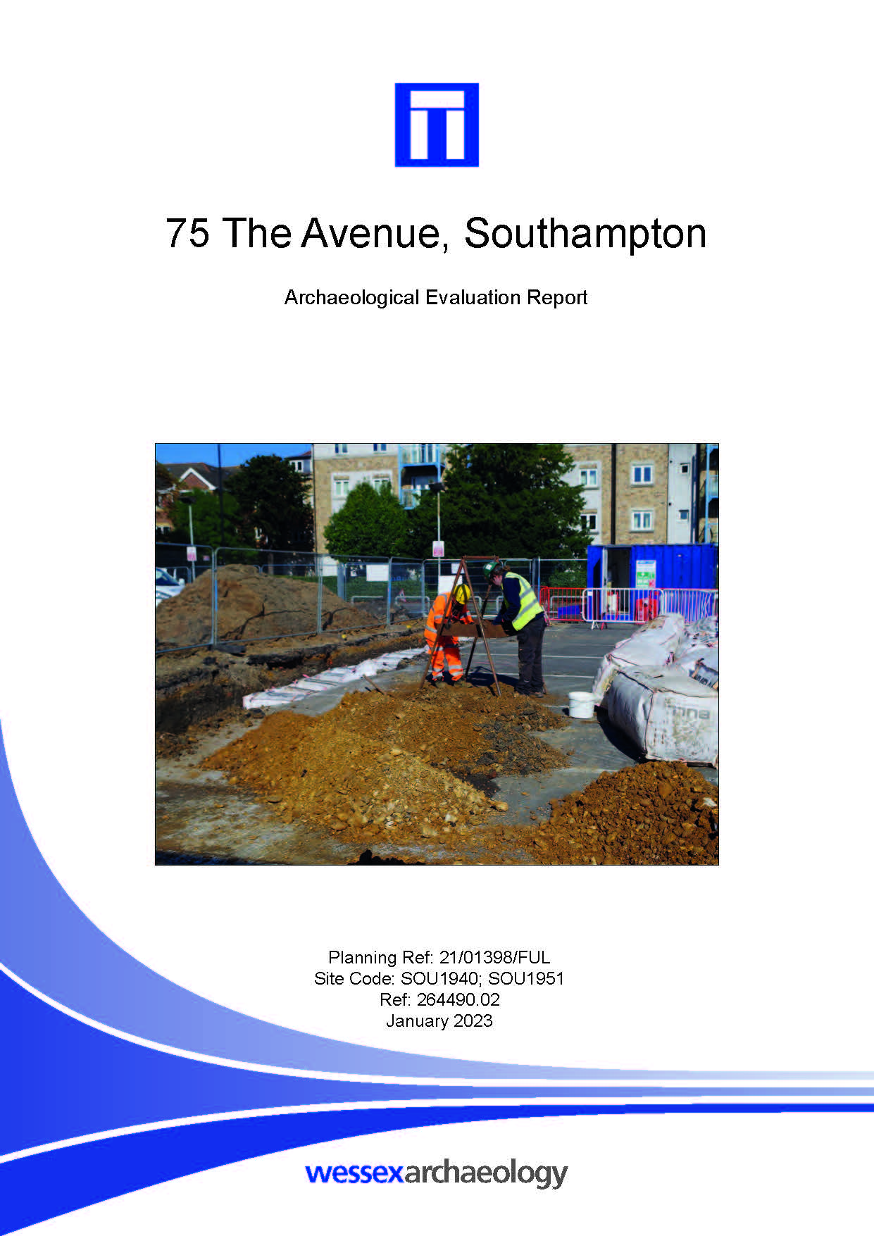
75 The Avenue, Southampton - Archaeological Evaluation Report
Published: 2023-01-01
Subjects: Geoarchaeology, Modern Structure, Post-Medieval Structure
The trial trench evaluation revealed no evidence for any archaeological features or artefacts predating the late post-medieval and recent/modern periods, and features that were recorded can be shown to relate to buildings or property boundaries shown on the 1st and latter editions of Ordnance Survey mapping and predating the use of the site in the modern era as a car dealership. No evidence was [...]
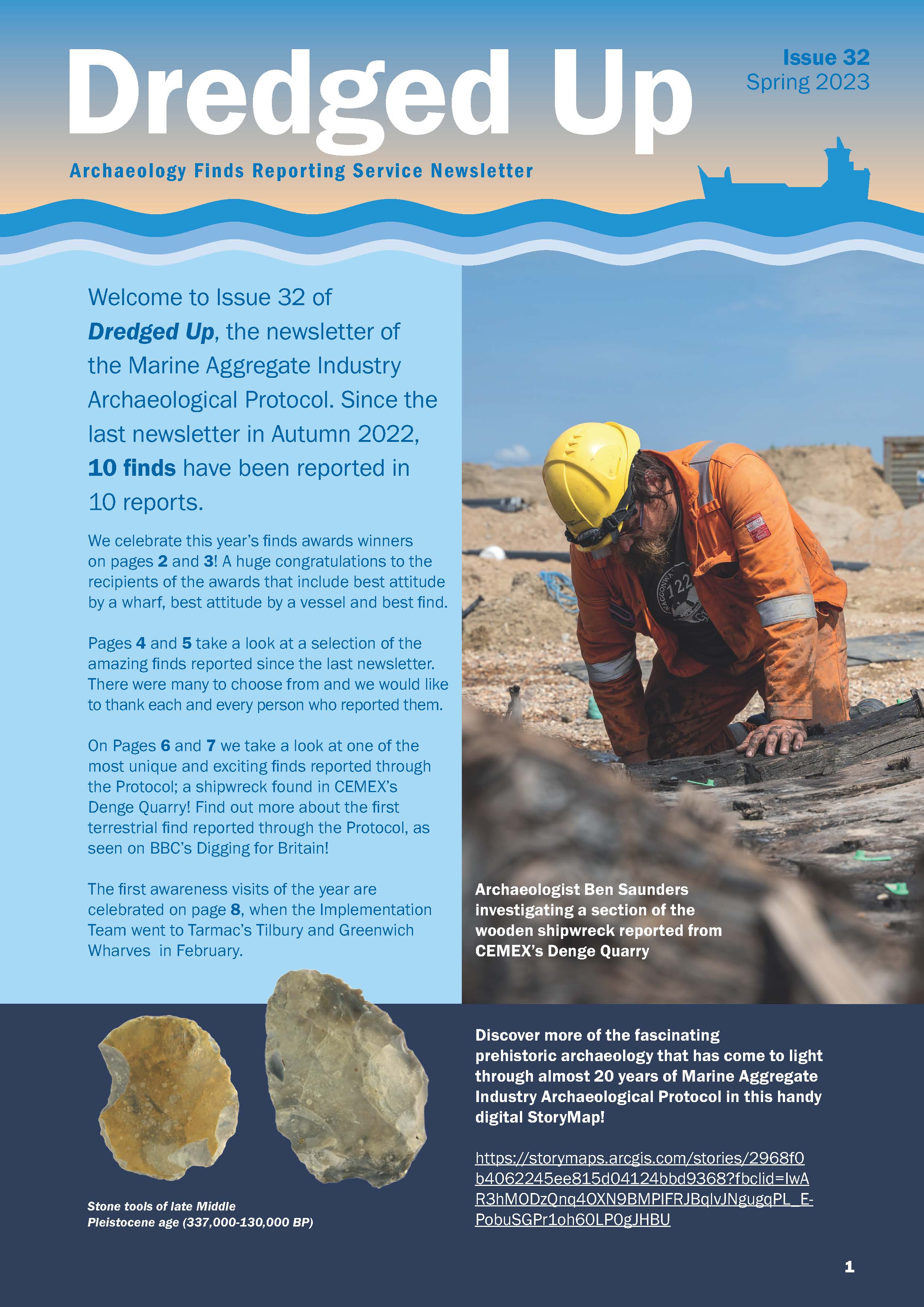
Dredged Up - Issue 32
Published: 2023-01-01
Subjects: Marine Archaeology
Archaeology Finds Reporting Service Magazine Issue 32 Spring 2023

Landscape Improvement Project, Godlingston Hall, Ulwell, Swanage, Dorset - Archaeological Watching Brief
Published: 2022-12-01
Subjects: Modern Artefacts
Despite the archaeological potential of the site no archaeological features or deposits were identified. A small quantity of 19th century and modern pottery and glass was recovered from the vicinity of trench 15, in proximity to a known post-medieval cottage of a cottage at Forked Down Bottom. The low level of identified archaeological activity is however influenced by the limited scope and [...]

East Leeds Orbital Route, Leeds, West Yorkshire - Post-excavation Assessment and Updated Project Design
Published: 2022-12-01
Subjects: Early Medieval, Iron Age, Medieval, Romano-British
Wessex Archaeology was commissioned to undertake archaeological works along the East Leeds Orbital Route (ELOR), a 7 km-long road connecting the A6120 Outer Ring Road at Red Hall in the north-west to the new Manston Lane Link Road at Thorpe Park in the south-east (the ‘Scheme’). The route extends from NGR 434320 438569 (SE 34320 38569) to 438323 434624 (SE 38323 34624).
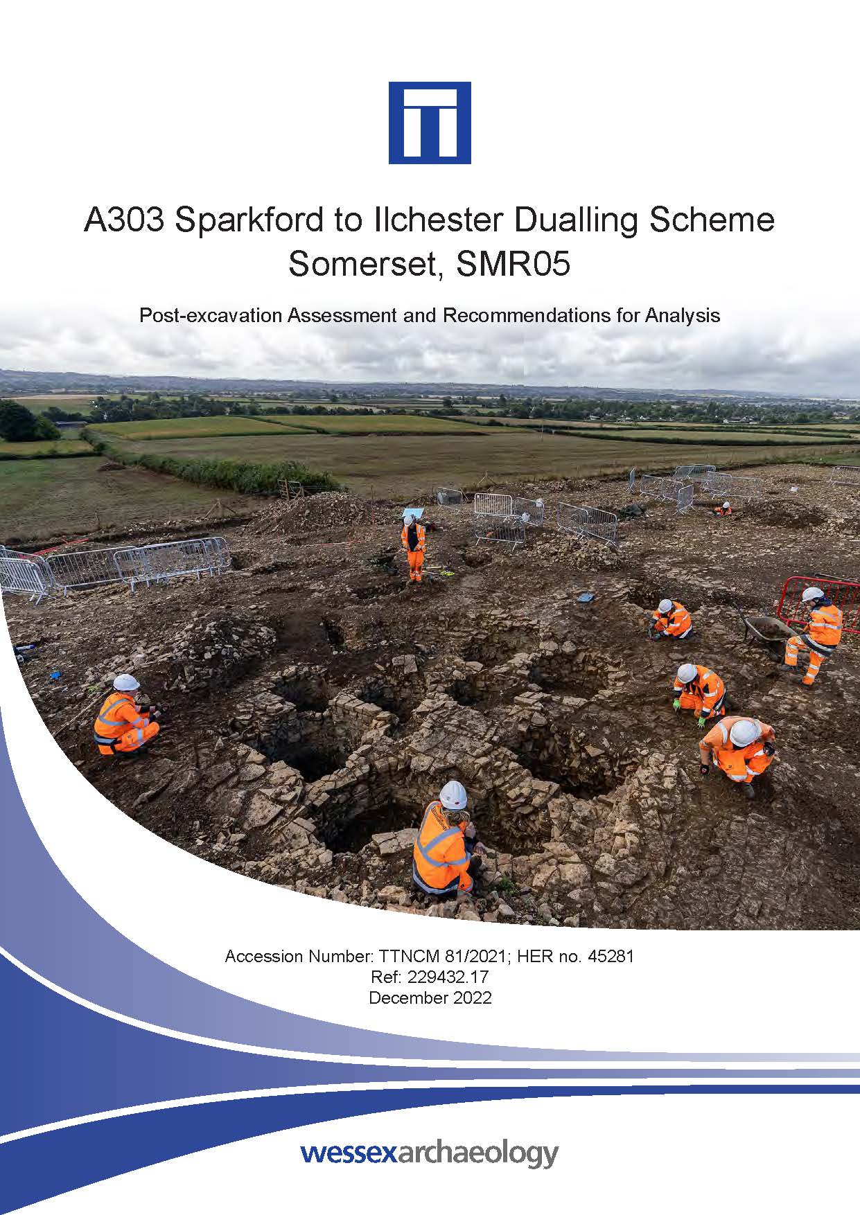
A303 Sparkford to Ilchester Dualling Scheme, Somerset - Post-excavation Assessment
Published: 2022-12-01
Subjects: Iron Age Funerary Site, Iron Age Settlement, Post-Medieval Quarry, Prehistoric Flint, Romano-British Funerary Site, Romano-British Settlement
Archaeological remains dating from the Mesolithic to post-medieval periods were recorded, covering approximately 8,000 years of human history. The earliest evidence from the excavation dates to the earlier prehistoric period, probably the Mesolithic or Early Neolithic, and was represented by a small group of worked flints found residually within later features. These finds, including tools and a [...]
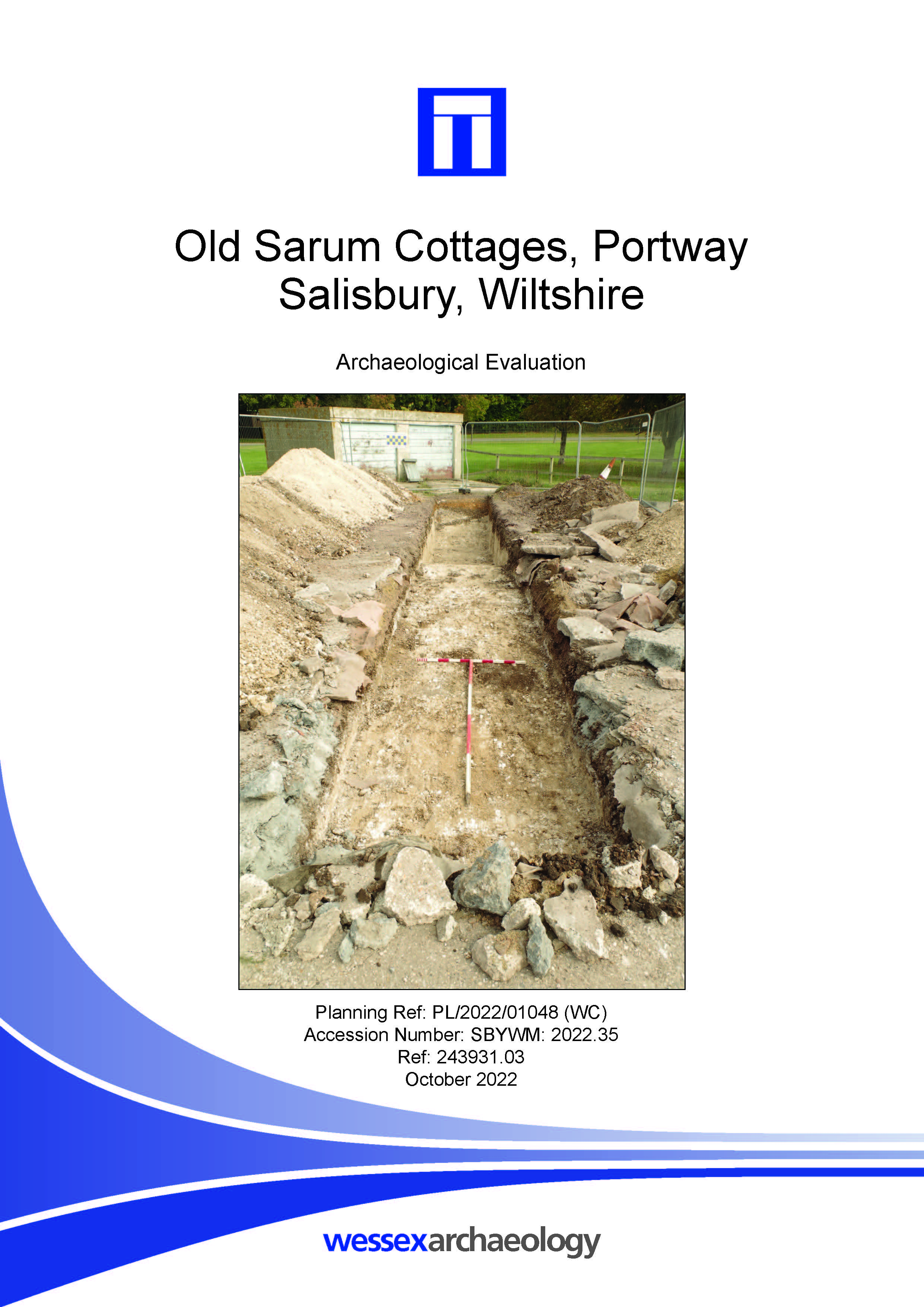
Old Sarum Cottages, Portway, Salisbury, Wiltshire - Archaeological Evaluation
Published: 2022-10-01
Subjects: No Archaeology
The works consisted of the excavation of three evaluation trenches, which did not reveal any archaeological deposits or features.
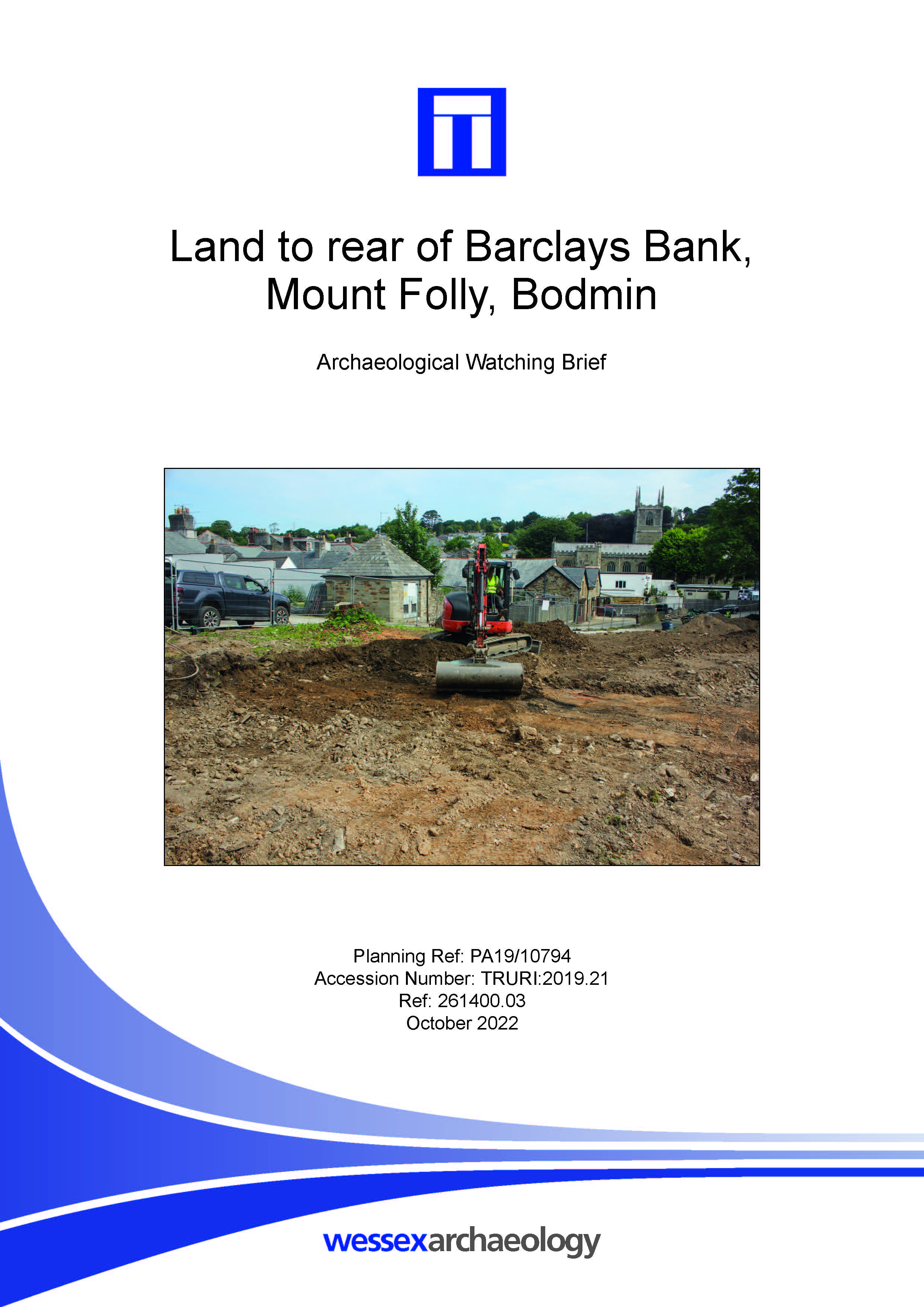
Land to rear of Barclays Bank, Mount Folly, Bodmin - Archaeological Watching Brief
Published: 2022-10-01
Subjects: Post-Medieval Structure
The stripping of soil within the specified areas onto the underlying natural geology was monitored. Four archaeological features were recorded consisting of two masonry walls and two ditches. Both walls and one ditch were of post-medieval date. One ditch contained no dateable artefactual material.
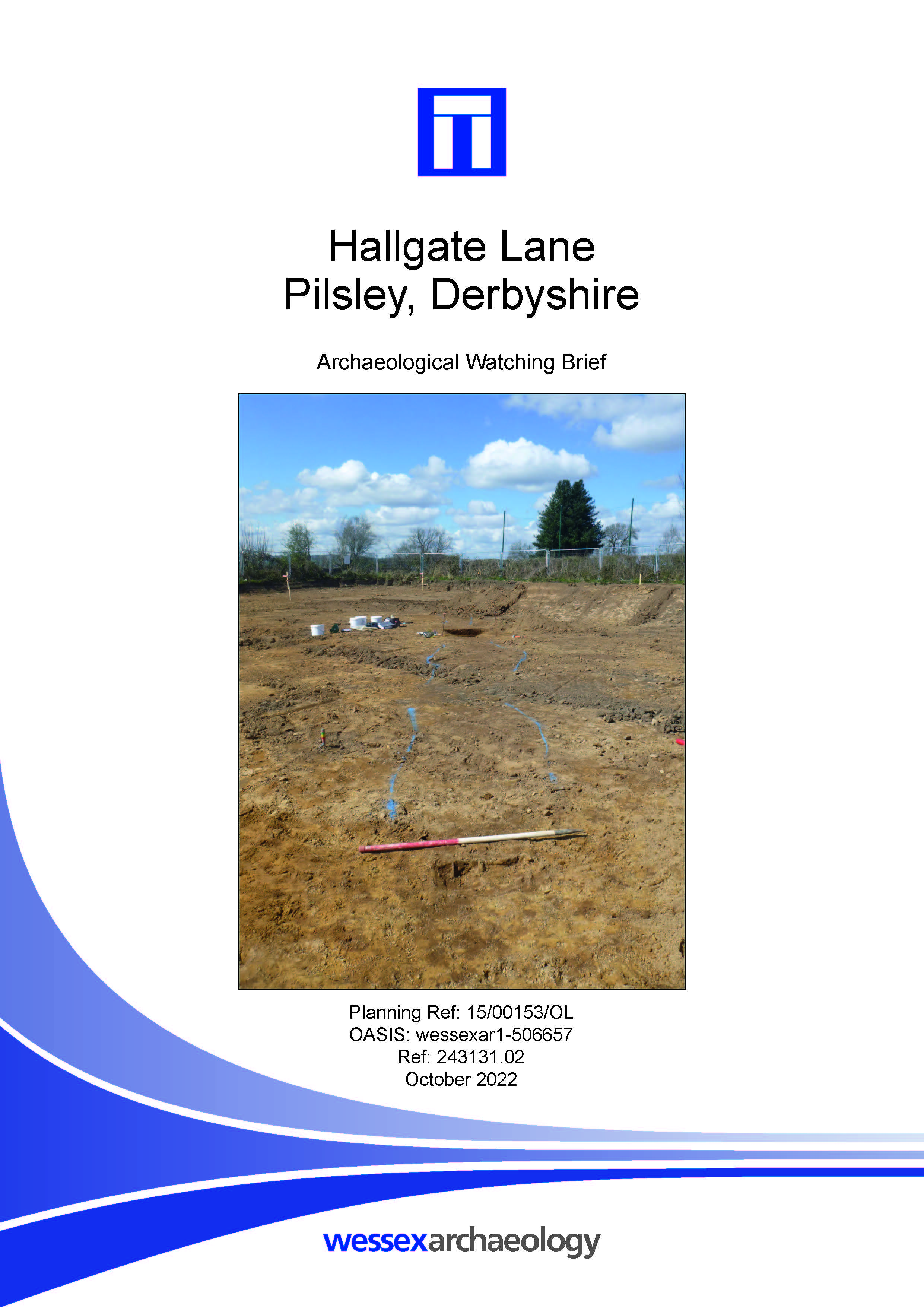
Hallgate Lane, Pilsley, Derbyshire - Archaeological Watching Brief Report
Published: 2022-10-01
Subjects: Iron Age Agriculture
The watching brief has revealed the continuation of former field boundary ditches recorded in evaluation trenches 1 and 2. Radiocarbon dating of environmental material has revealed that these ditches were of Late Iron Age date. The environmental assemblages may be indicative of the burning of turves for fuel. A wheat grain recovered from one of the ditches was also radiocarbon dated and found to [...]
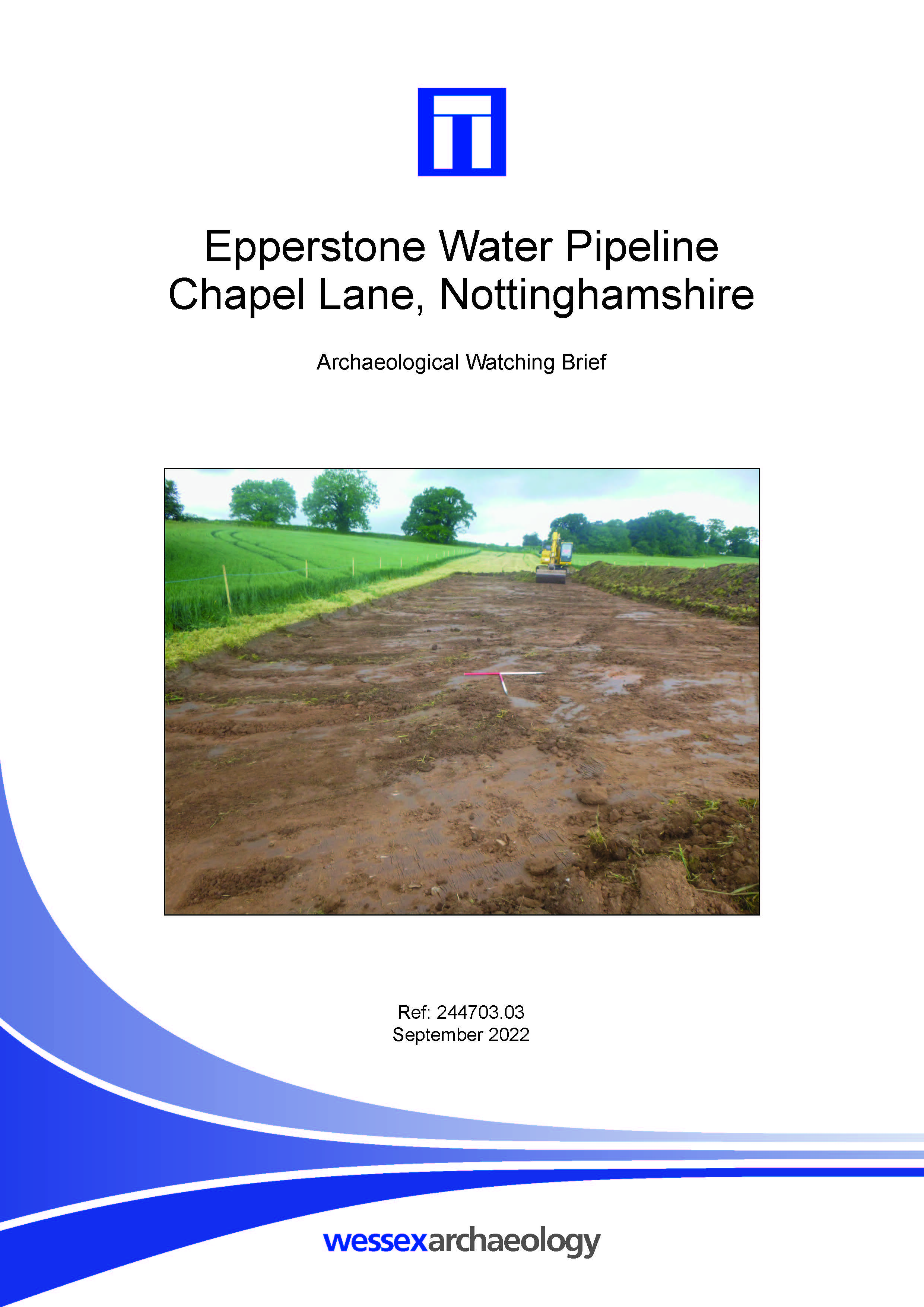
Epperstone Water Pipeline, Chapel Lane, Nottinghamshire - Archaeological Watching Brief
Published: 2022-09-01
Subjects: Undated
Wessex Archaeology was commissioned to undertake a watching brief on works associated with the installation of a new water main. The pipeline crossed around 500 m of agricultural land, north of Epperstone, Nottinghamshire and centred on NGR SK 65184 49333. The natural mid-reddish brown silty clay substrate was reached 0.2–0.4 m below ground level within the service channel, sealed beneath [...]