Reports
Our reports library includes fieldwork, geophysical, geoarchaeological, marine and post-excavation reports from our archaeological and heritage projects across the UK.
There are 458 Reports listed.
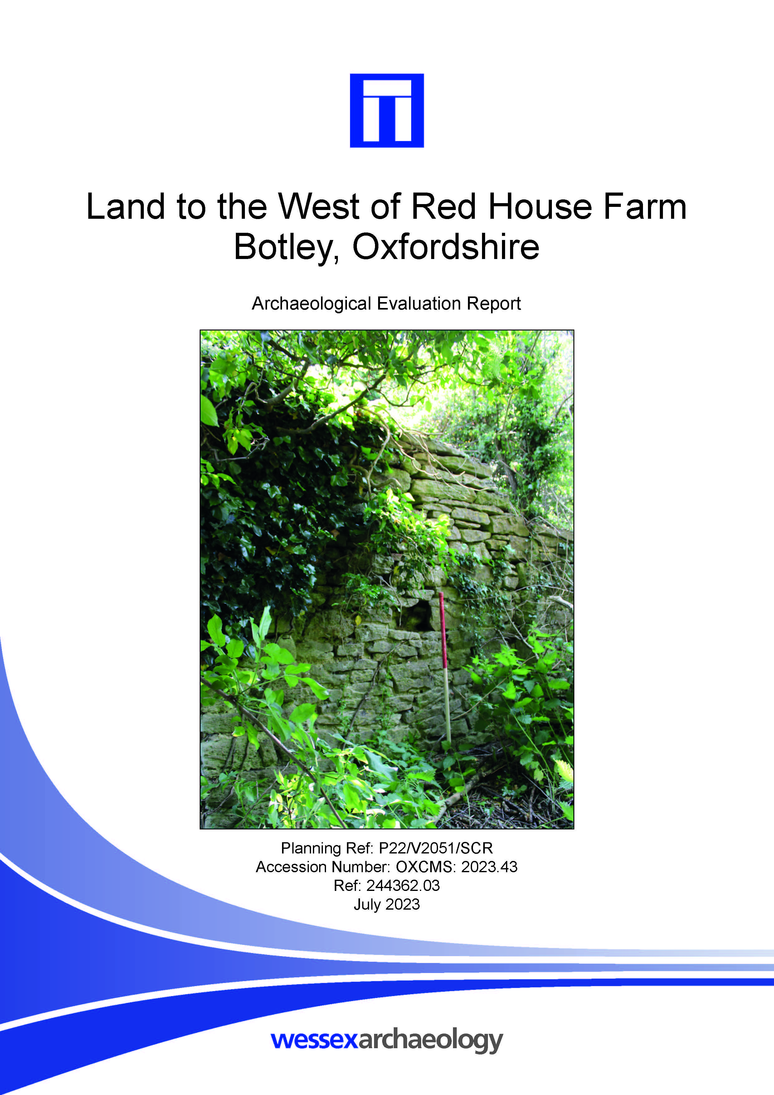
Land to the West of Red House Farm, Botley, Oxfordshire - Archaeological Evaluation Report
Published: 2023-07-01
Subjects: Bronze Age, Medieval, Mesolithic, Neolithic
Wessex Archaeology undertook an archaeological evaluation of a 49 ha parcel of land located on land to the south and west of Red House Farm, Botley, Oxfordshire, centred on NGR 446542 205861 (SP 46542 05861). The evaluation comprising 177 trial trenches (2 % sample), with a contingency of a further 2% to further understand the findings. A total of 43 of the 177 excavated trial trenches [...]
Poole Flood Defence - Archaeological Assessment of geophysical data
Published: 2023-07-01
Subjects: Geophysical Survey
Wessex Archaeology were commissioned to undertake an archaeological assessment of geophysical data, acquired in November 2022 by Channel Surveys Limited over the proposed site of the Poole Flood Defence project. This report comprises of an assessment of geophysical data acquired by Channel Surveys Limited over the proposed Poole Flood Defence study area. The geophysical data comprises of a [...]
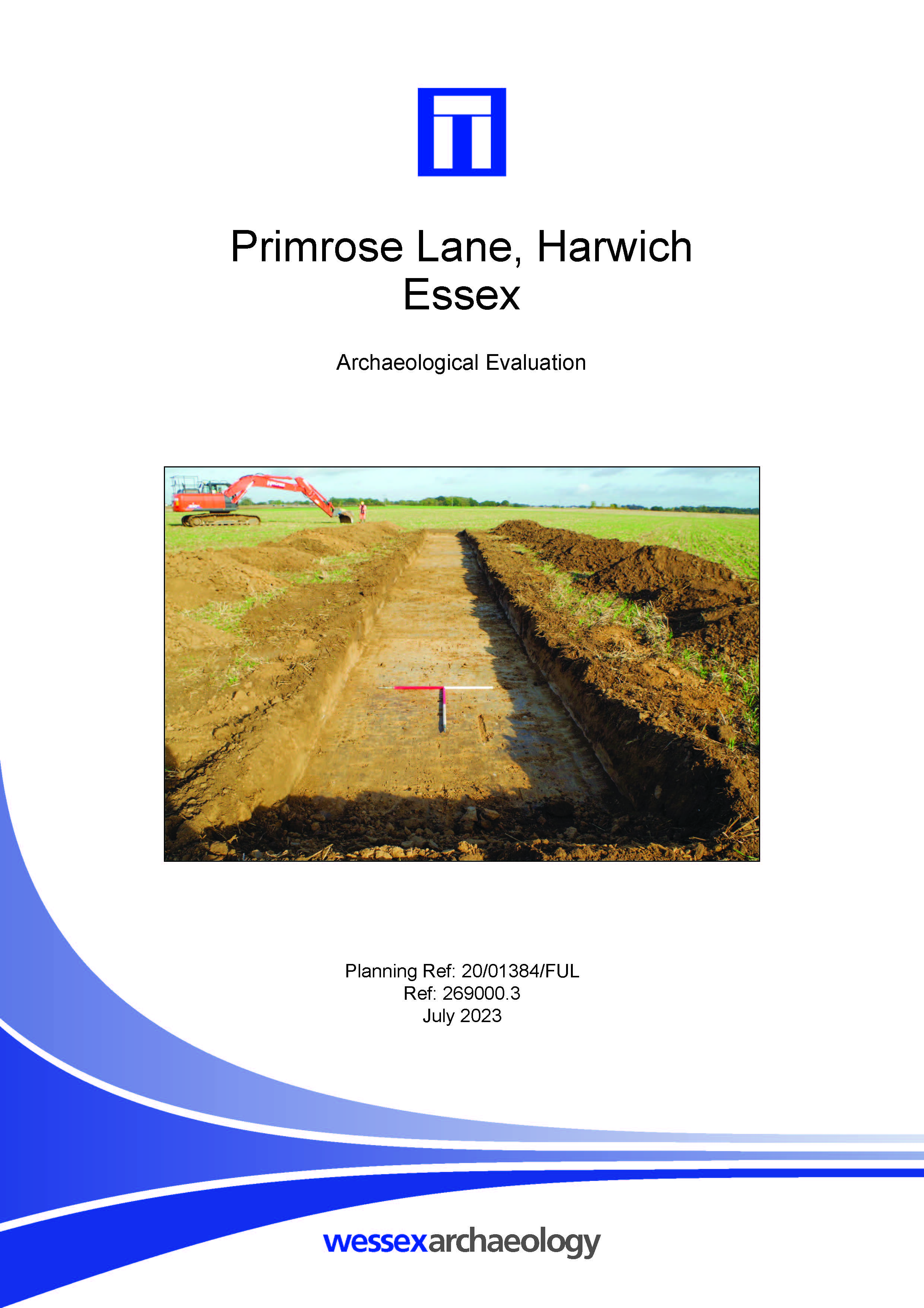
Primrose Lane, Harwich, Essex - Archaeological Evaluation
Published: 2023-07-01
Subjects: Bronze Age, Medieval, Post Medieval, Romano-British
Wessex Archaeology was commissioned by Low Carbon UK Solar Investment Company Ltd, to undertake an archaeological evaluation of a 26 ha parcel of land located northwest of Bowl Road, Harwich, Essex, centred on NGR 617555 229050. Of the 178 trenches, 42 contained archaeological features and deposits, indicating archaeological remains are present across the site with a concentration in the [...]
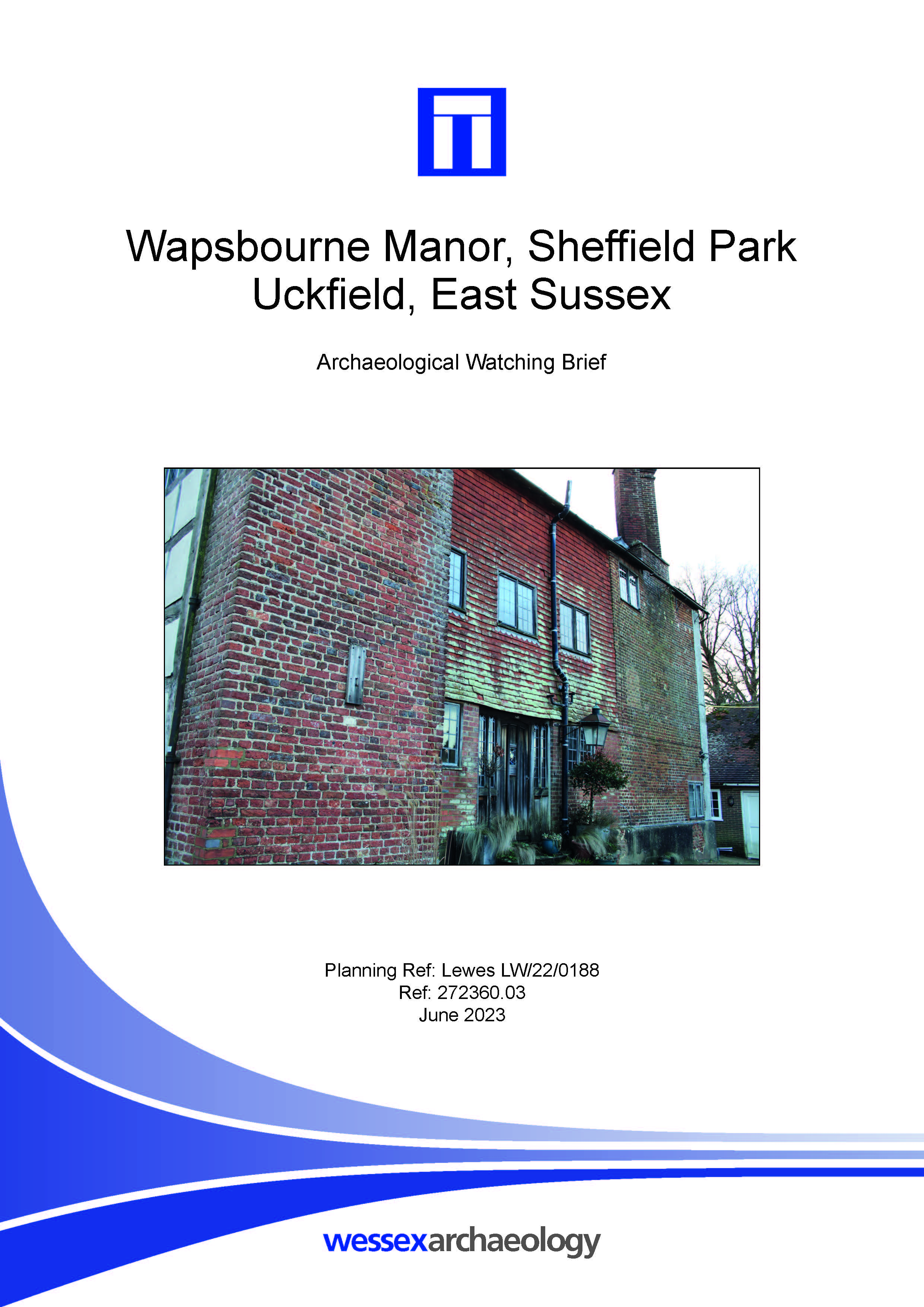
Wapsbourne Manor, Sheffield Park, Uckfield, East Sussex - Archaeological Watching Brief
Published: 2023-06-01
Subjects: Historic Building
The monitored works comprised the hand excavation of a trench measuring 6.5 m in length, 0.60 m in width and 1 m in depth extending north from the wall of the manor. Observed within this trench was the soil sequence consisting of dark greyish brown silty clay that overlay the underlying natural geology. Within the trench the remains of two brick walls were encountered along with brick lined [...]

Vining Lodsworth WSW - Geoarchaeological Monitoring of Ground Investigation Works
Published: 2023-06-01
Subjects: Geoarchaeology
A programme of monitoring of Ground Investigation (GI) works was undertaken at Langham Lane, Halfway Bridge, Lodsworth, GU28 9DB. The principal aims of the monitoring were to assess the archaeological potential of the Quaternary superficial deposits at the Site, to make suitable proposals for further work, and to contribute to the overall heritage knowledge of the priory through recording [...]
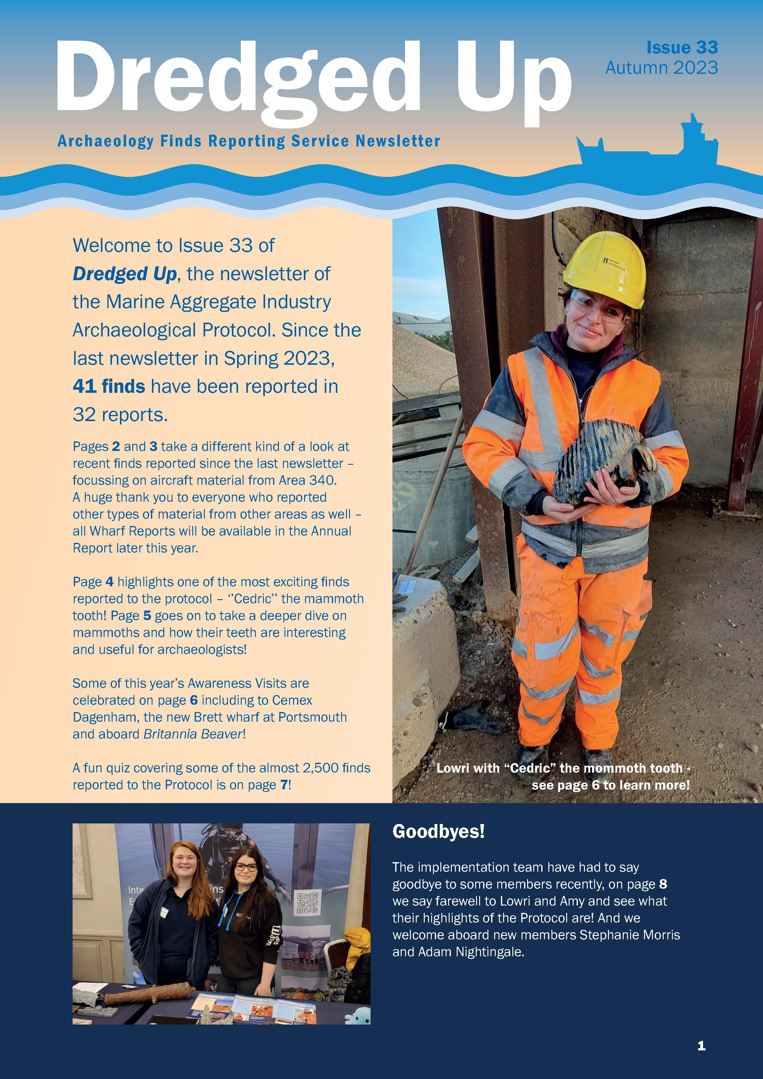
Dredged Up - Issue 33
Published: 2023-06-01
Subjects: Marine Archaeology
Archaeology Finds Reporting Service Magazine Issue 33 Autumn 2023
Proposed Water Booster Pumping Station, Buckland, Aylesbury. Archaeological Evaluation Report
Published: 2023-06-01
Subjects: Post-Medieval Agriculture
The works recorded a total of eight archaeological features which were located within the middle and south-western trenches (Trenches 3 - 5). A field boundary or drainage ditch was located in the southernmost trench which, from a single, fragmented sherd of pottery, could be dated to the prehistoric period. While the remaining features were interpreted as post-medieval furrows relating to a strip [...]
Burnt Common Nurseries, London Road, Send, Surrey, Phase 1 - Archaeological Evaluation
Published: 2023-05-01
Subjects: Medieval, Post Medieval, Romano-British
Wessex Archaeology undertook an archaeological evaluation of a 1.8 ha parcel of land located at Burnt Common Nurseries, London Road, Send, Surrey, GU23 7LN, centred on NGR 503527 154366. The evaluation comprised twenty-five 20 m trenches, representing a 5% sample of the overall area. The evaluation identified a limited number of archaeological features within the site. Four of the [...]
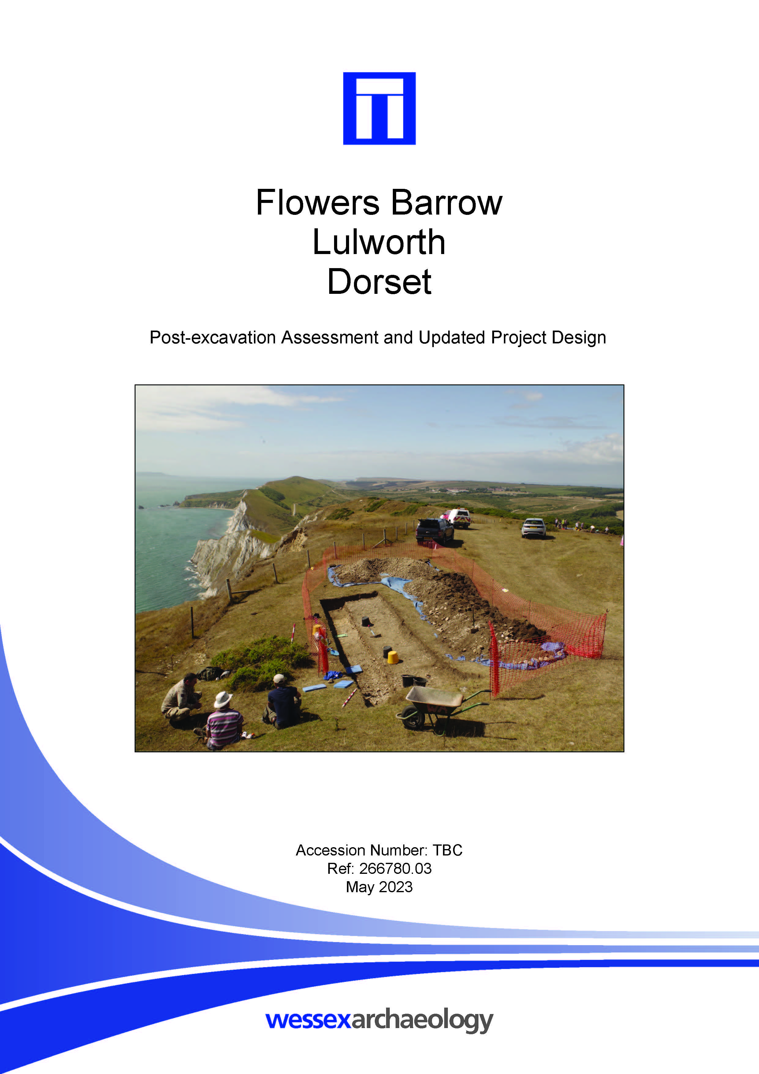
Flowers Barrow, Lulworth, Dorset - Post-excavation Assessment and Updated Project Design
Published: 2023-05-01
Subjects: Iron Age
Wessex Archaeology undertook the excavation of three trenches, centred on NGR 386455 80595, at the Iron Age hillfort known as Flowers Barrow, Lulworth, Dorset, a Scheduled Monument lying within the South Dorset Coast Site of Special Scientific Interest (SSSI). The works were designed to preserve by record some of the remains of the monument to mitigate unavoidable loss due to coastal erosion, [...]
Grove Solar Farm, Leonard Stanley, Gloucestershire - Detailed Gradiometer Survey Report
Published: 2023-05-01
Subjects: Geophysical Survey
A detailed gradiometer survey was conducted over land at Grove Solar Farm, Leonard Stanley, Gloucestershire (centred on NGR 379500 203800). The site comprises nine arable fields located 1 km east of the village of Leonard Stanley and 15 km south of Gloucester, in the county of Gloucestershire, covering an area of 53 ha. The survey has identified an extensive range of archaeological features [...]
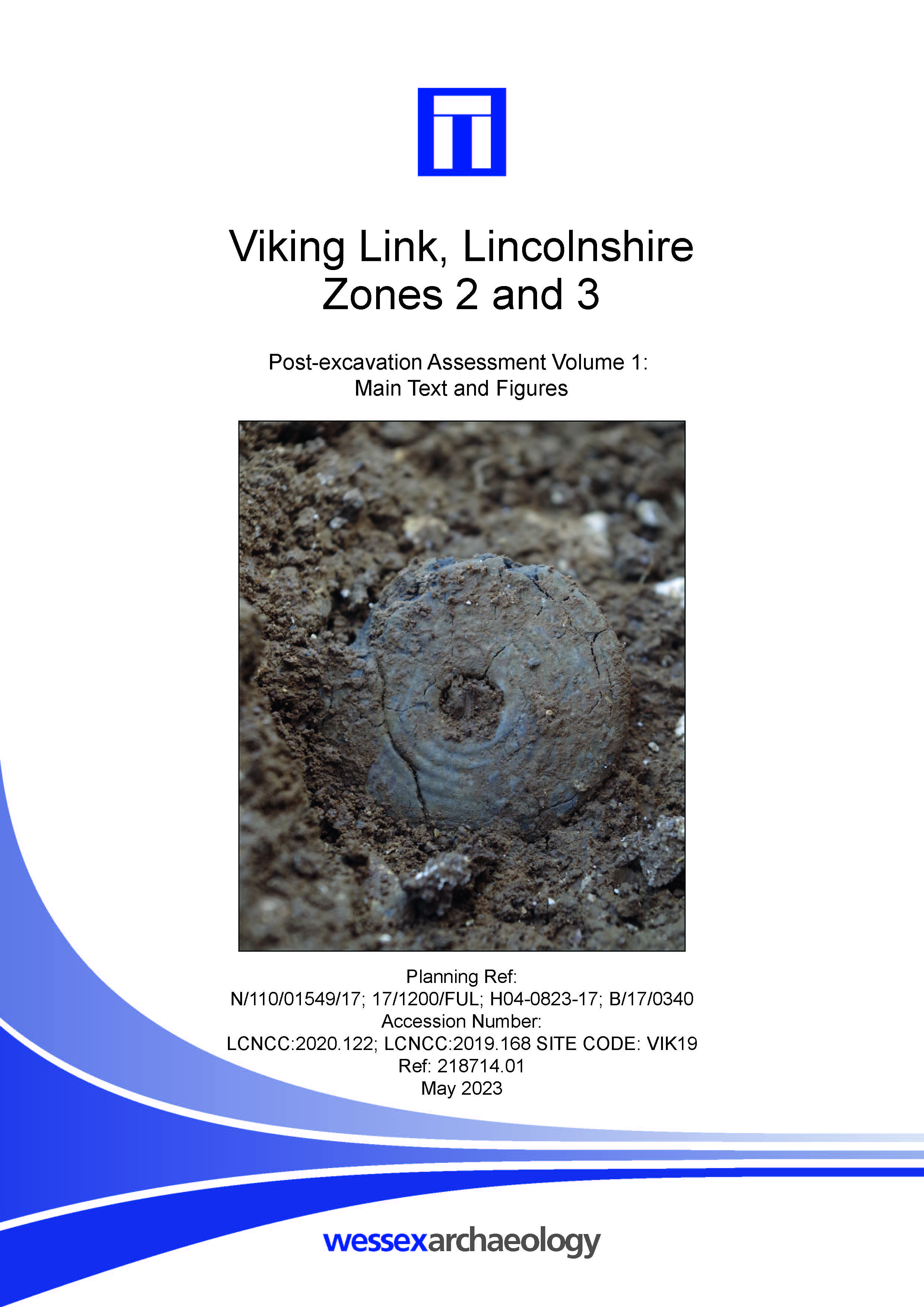
Viking Link, Lincolnshire Zones 2 and 3 - Post-excavation Assessment Volume 1: Main Text and Figures
Published: 2023-05-01
Subjects: Bronze Age, Early Medieval, Medieval, Post Medieval, Romano-British
Wessex Archaeology was commissioned to undertake archaeological investigations along the route of the Viking Link Interconnector Onshore Scheme in Lincolnshire. The Interconnector is a 1400 MW high voltage electricity cable and associated infrastructure that connects the electricity grids of the UK and Denmark. The 67 km– long onshore route has been divided into three zones: Zone 1 encompasses [...]
NH3 Immingham Green Energy Terminal - Geoarchaeological Borehole Survey and Watching Brief on GI Works
Published: 2023-05-01
Subjects: Geoarchaeology, Undated
A programme of geoarchaeological borehole survey and deposit modelling, and an archaeological watching brief of Geotechnical Investigation (GI) works, was undertaken at NH3 Immingham Green Energy Terminal in advance of proposed development comprising an ammonia import terminal forming part of the proposed Green Energy Terminal. The geoarchaeological borehole survey was focused on the West [...]
Clandon Park, West Clandon, Guildford, Surrey - Detailed Gradiometer and Ground Penetrating Radar Survey Report
Published: 2023-04-01
Subjects: Geophysical Survey
A detailed gradiometer and ground penetrating radar survey was conducted over land at Clandon Park, West Clandon, Guildford, Surrey (centred on NGR 504300 151250). The project was commissioned by Bristol and Bath Heritage Consultancy Ltd, on behalf of The National Trust, to establish the presence, or otherwise, and nature of detectable archaeological features. The site comprises maintained [...]
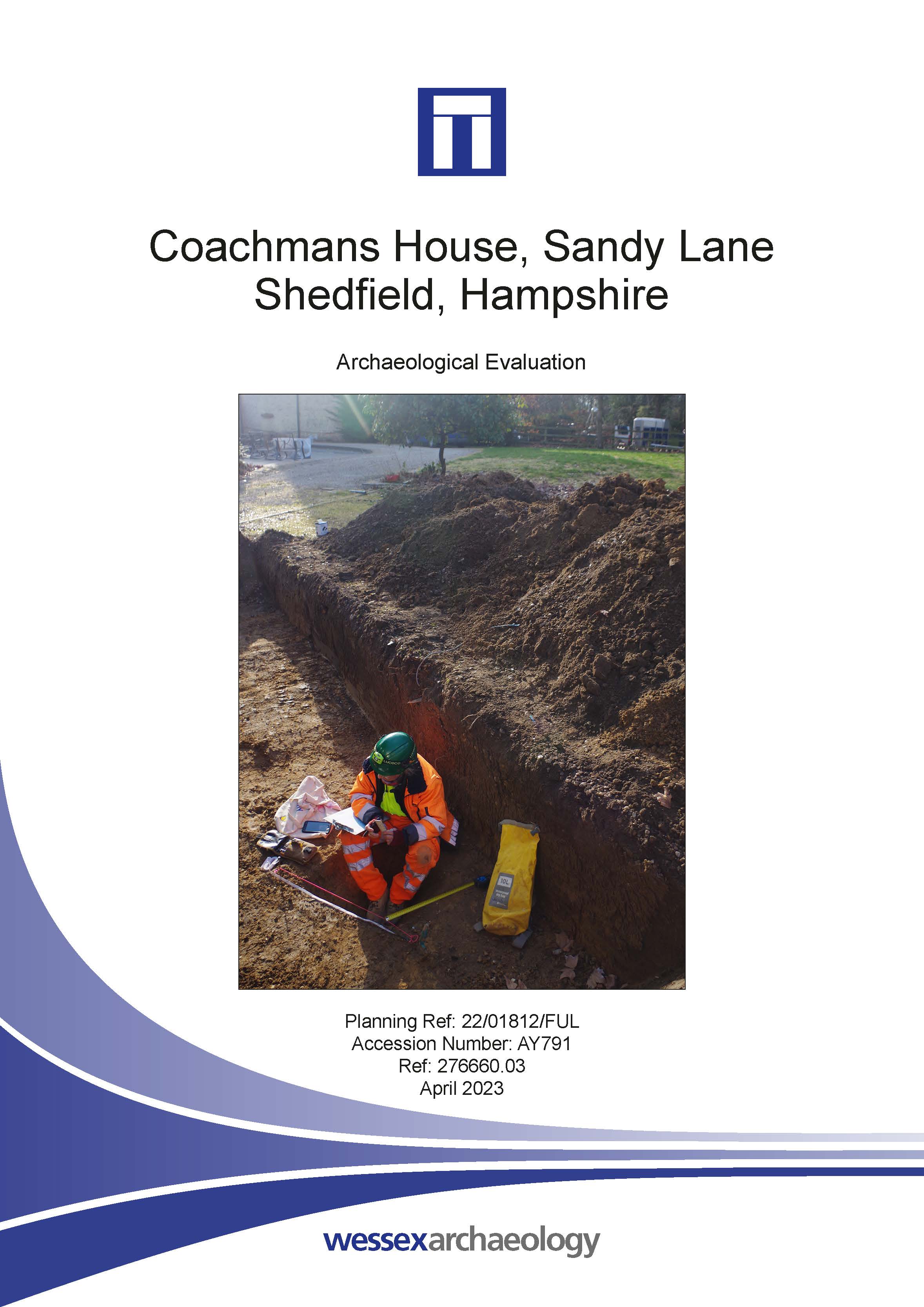
Coachmans House, Sandy Lane, Shedfield, Hampshire - Archaeological Evaluation
Published: 2023-04-01
Subjects: Undated Archaeological Features
An archaeological evaluation was undertaken on an approximate 100 m² parcel of land. Due to logistical constraints however, only one trench was excavated. A single gully, which possibly related to drainage, was identified but no finds were recovered so no date could be ascertained. It is possible that the gully was part of the wider agricultural landscape associated with the 1st–2nd century [...]
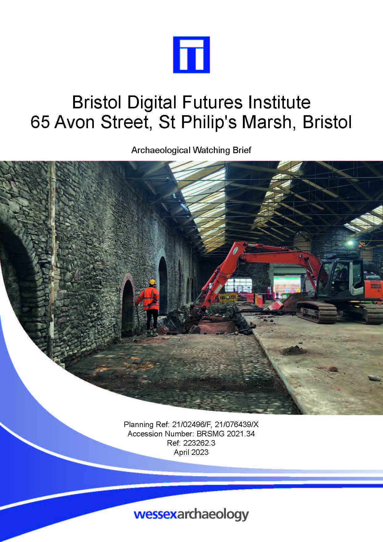
Bristol Digital Futures Institute, 65 Avon Street, St Philip's Marsh, Bristol - Archaeological Watching Brief
Published: 2023-04-01
Subjects: 20th Century, Post Medieval
Wessex Archaeology undertook a watching brief during groundworks associated with the conversion of a former gasworks retort house and coal store for use as a university building known as the Bristol Digital Futures Institute. The monitored works covered 0.18 ha, centred on NGR 360087 172551, at 65 Avon Street, St Philips Marsh, Bristol. The watching brief, which was undertaken between 19 [...]