Reports
Our reports library includes fieldwork, geophysical, geoarchaeological, marine and post-excavation reports from our archaeological and heritage projects across the UK.
There are 458 Reports listed.
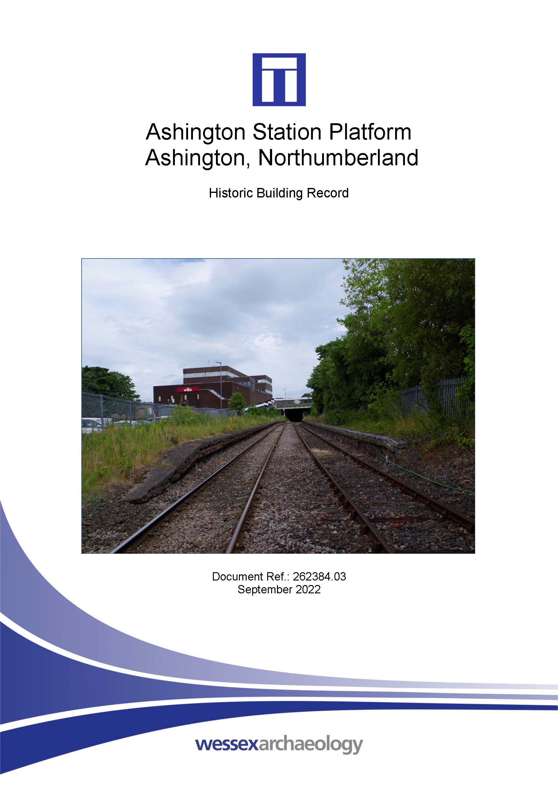
Ashington Station Platform, Ashington, Northumberland - Historic Building Record
Published: 2022-08-31
Subjects: Modern Structure, Modern Transport
Northumberland County Council have requested that a Historic England Level 1 (basic visual) historic building record be made of the platform and wall prior to their demolition.
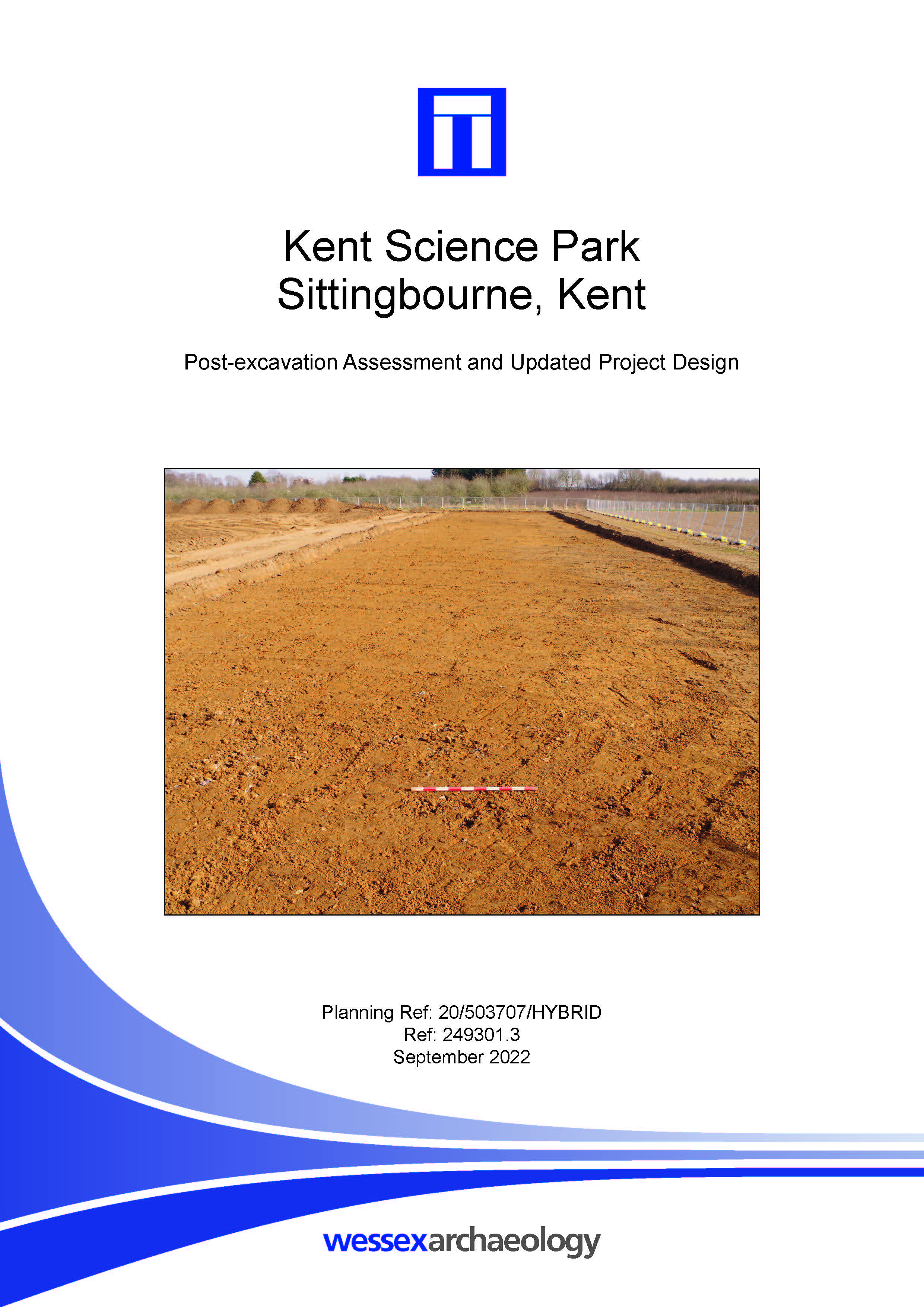
Kent Science Park, Sittingbourne, Kent - Post-excavation Assessment
Published: 2022-08-31
Subjects: Bronze Age Agriculture, Bronze Age Settlement, Iron Age Agriculture, Iron Age Settlement, Post-Medieval Agriculture, Undated Archaeological Features
Eight ditches, four pits and two quarry pits were recorded during the excavation, with a further six pits and a posthole identified during a trial trench evaluation in 2021. Four of the pits, all of which were small and shallow, are attributable to the later Bronze Age/Early Iron Age. Two pairs of shallow, truncated ditches probably formed the remains of trackways, at least one of which was [...]
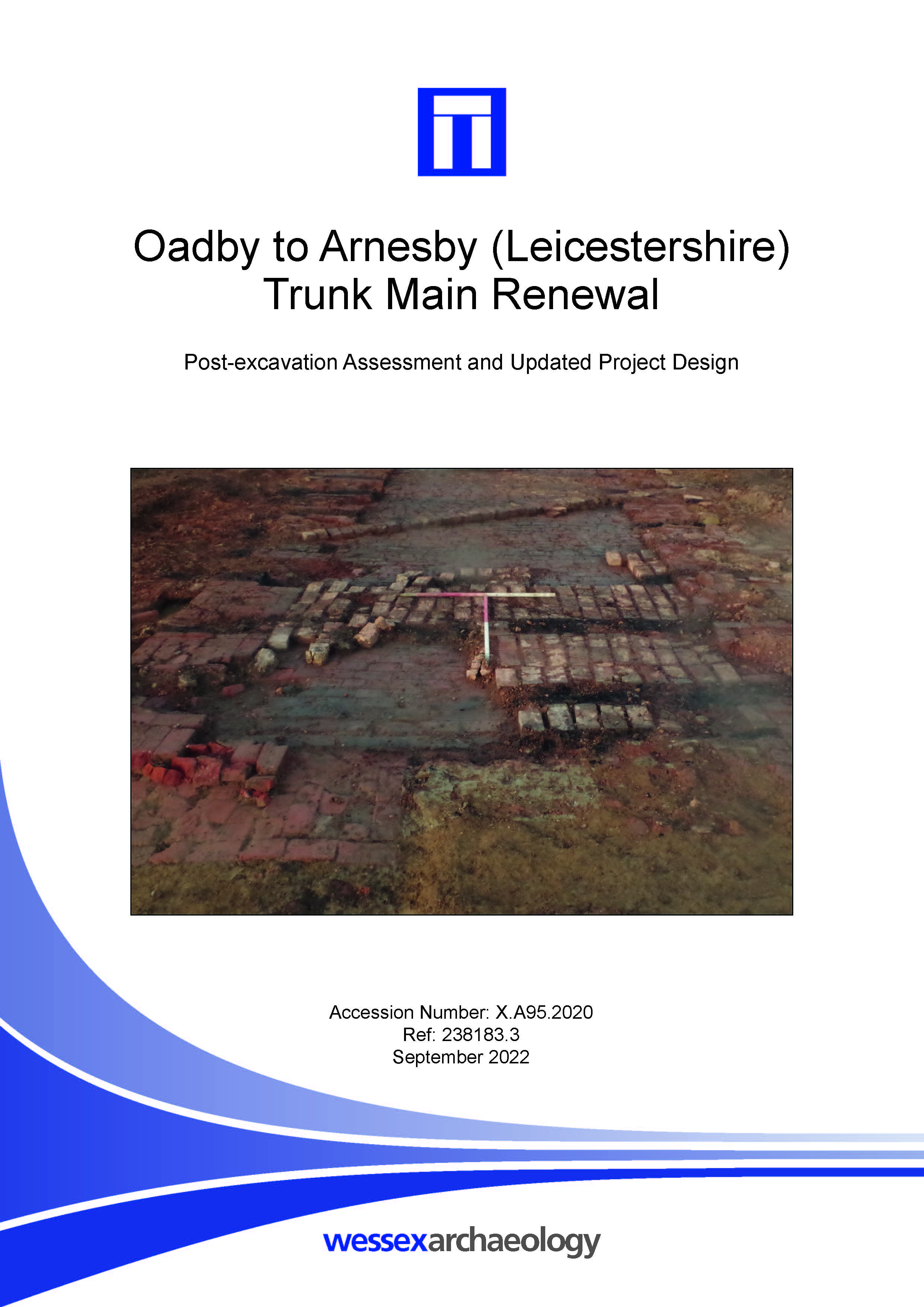
Oadby to Arnesby (Leicestershire) Trunk Main Renewal - Post-excavation Assessment
Published: 2022-08-31
Subjects: Iron Age Agriculture, Modern Industry, Post-Medieval Industry
Iron Age features, principally ditches, and an 18th or 19th-century brick kiln had been identified along the pipeline route by earlier magnetometer survey and evaluation trenching. These features formed the focus of the archaeological mitigation works. A watching brief was maintained on a further five areas. Remains identified within these comprised an alluvial feature, a boundary of probable [...]
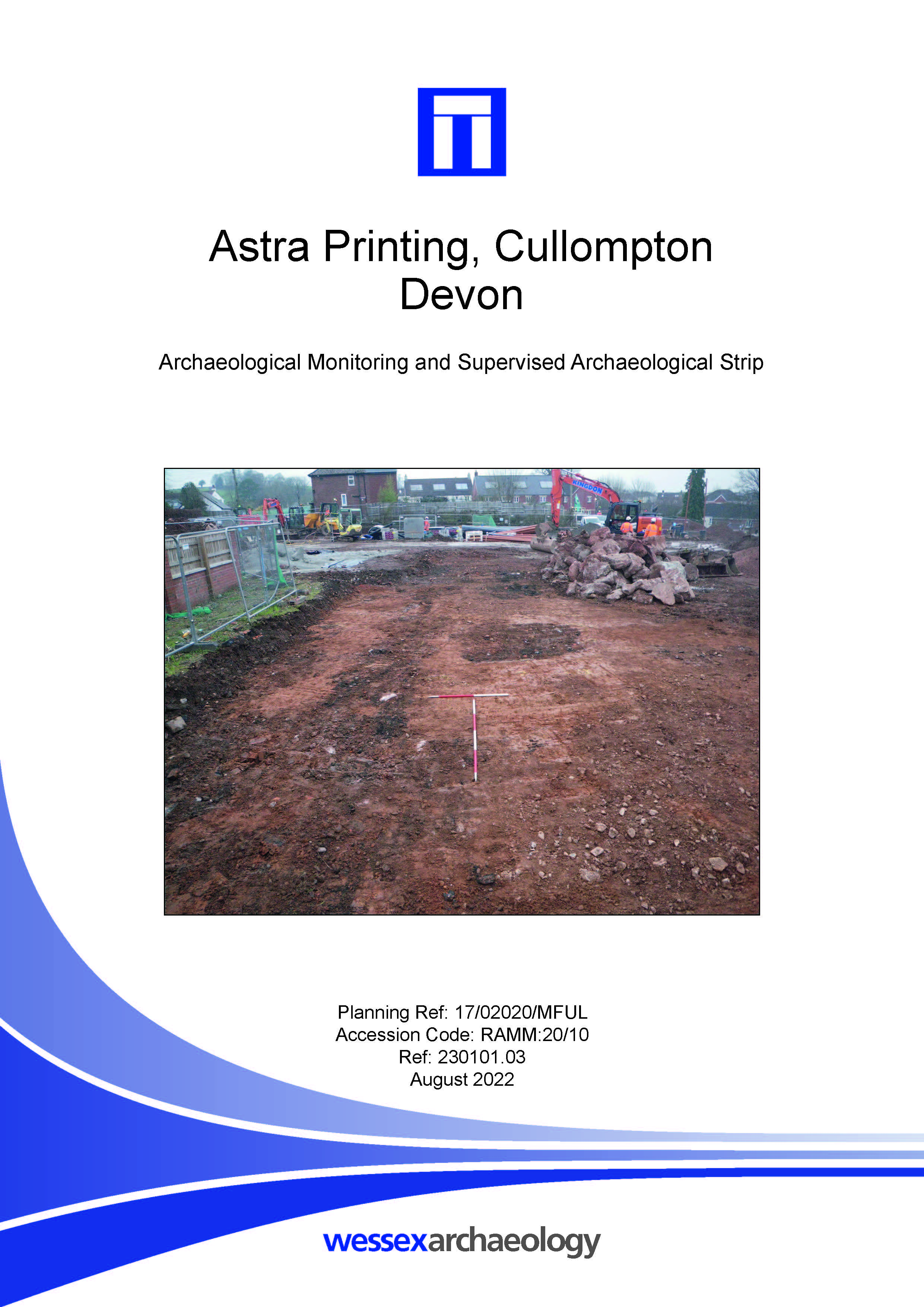
Astra Printing, Cullompton, Devon - Archaeological Monitoring and Supervised Archaeological Strip
Published: 2022-08-01
Subjects: 20th Century, Romano-British
Wessex Archaeology was commissioned by RPS Consulting Services, to undertake an archaeological watching brief and a supervised archaeological strip of the footprint of the proposed building and monitoring of ground reduction in the area of car parking to the north. The monitored works covered 0.53 ha, centred on NGR 302135 107764, located at Willand Road, Collumpton, Devon. The watching [...]
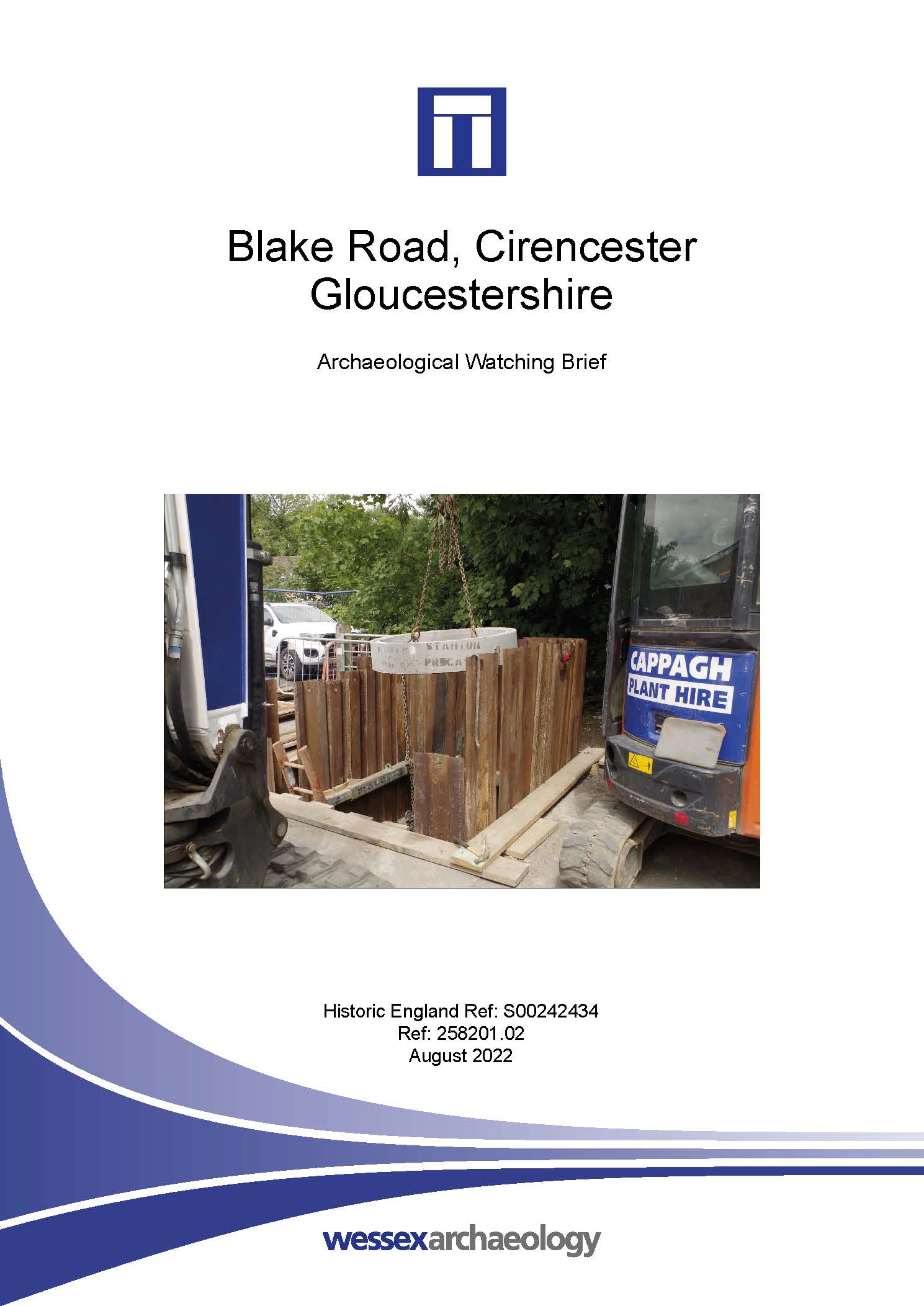
Blake Road, Cirencester, Gloucestershire - Archaeological Watching Brief
Published: 2022-08-01
Subjects: Undated
Wessex Archaeology was commissioned to undertake an archaeological monitoring of excavations for the insertion of a flap valve into the existing sewage system. The works monitored were centred on NGR 402348, 202458, to the rear of Blake Road, Cirencester. The area of work was situated towards the northern extent of the Scheduled Monument for Corinium Roman town (NHLE 1003426), which covers [...]
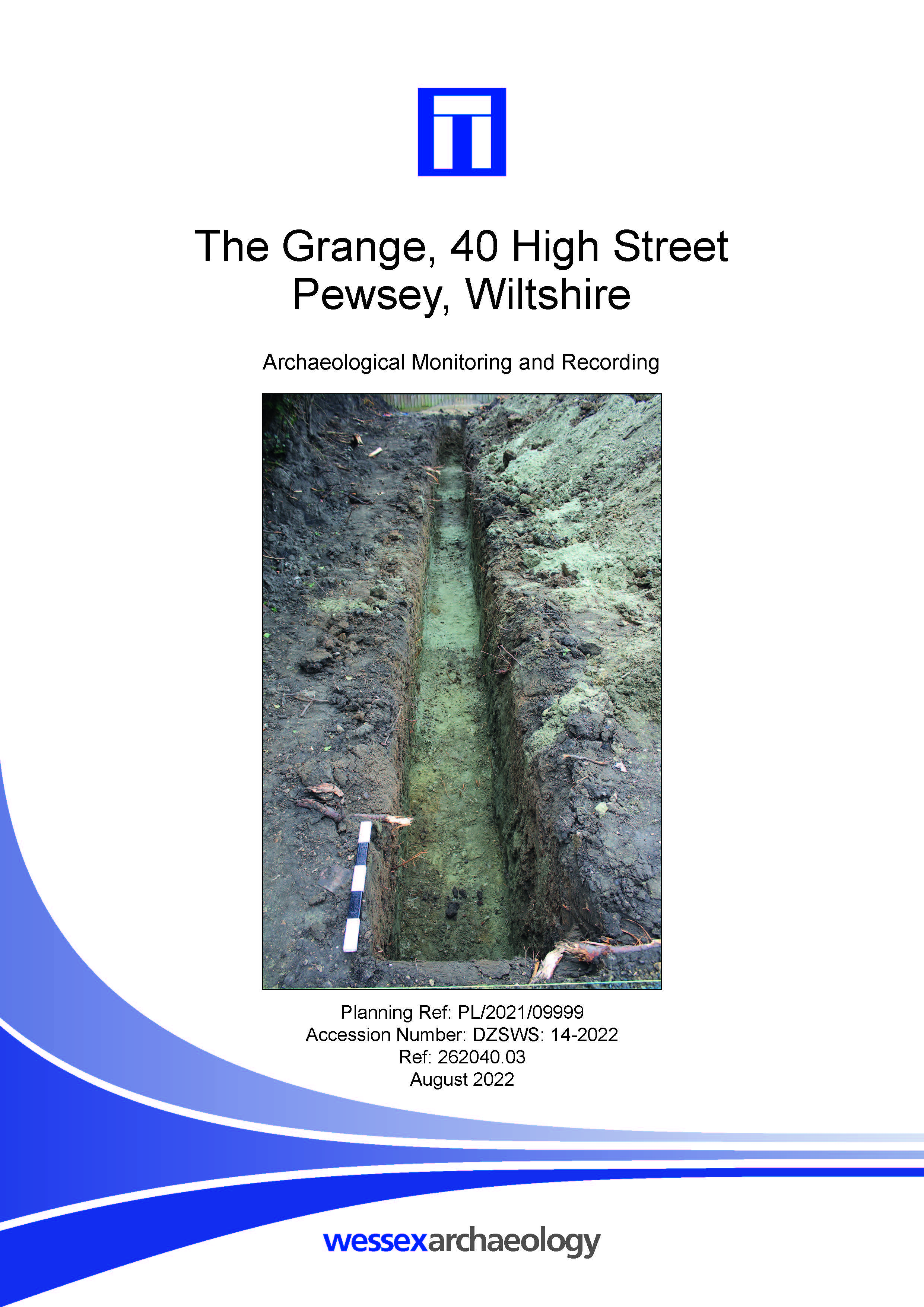
The Grange, 40 High Street, Pewsey, Wiltshire - Archaeological Monitoring and Recording
Published: 2022-08-01
Subjects: No Archaeology
No archaeological features or deposits were identified, and no artefacts were recovered during the course of the works. In all the excavation areas, the natural geology was encountered at the base of excavations. The presence of a subsoil above the natural geology suggests that the site had not been significantly truncated by modern activity. This means that there is a good potential for [...]
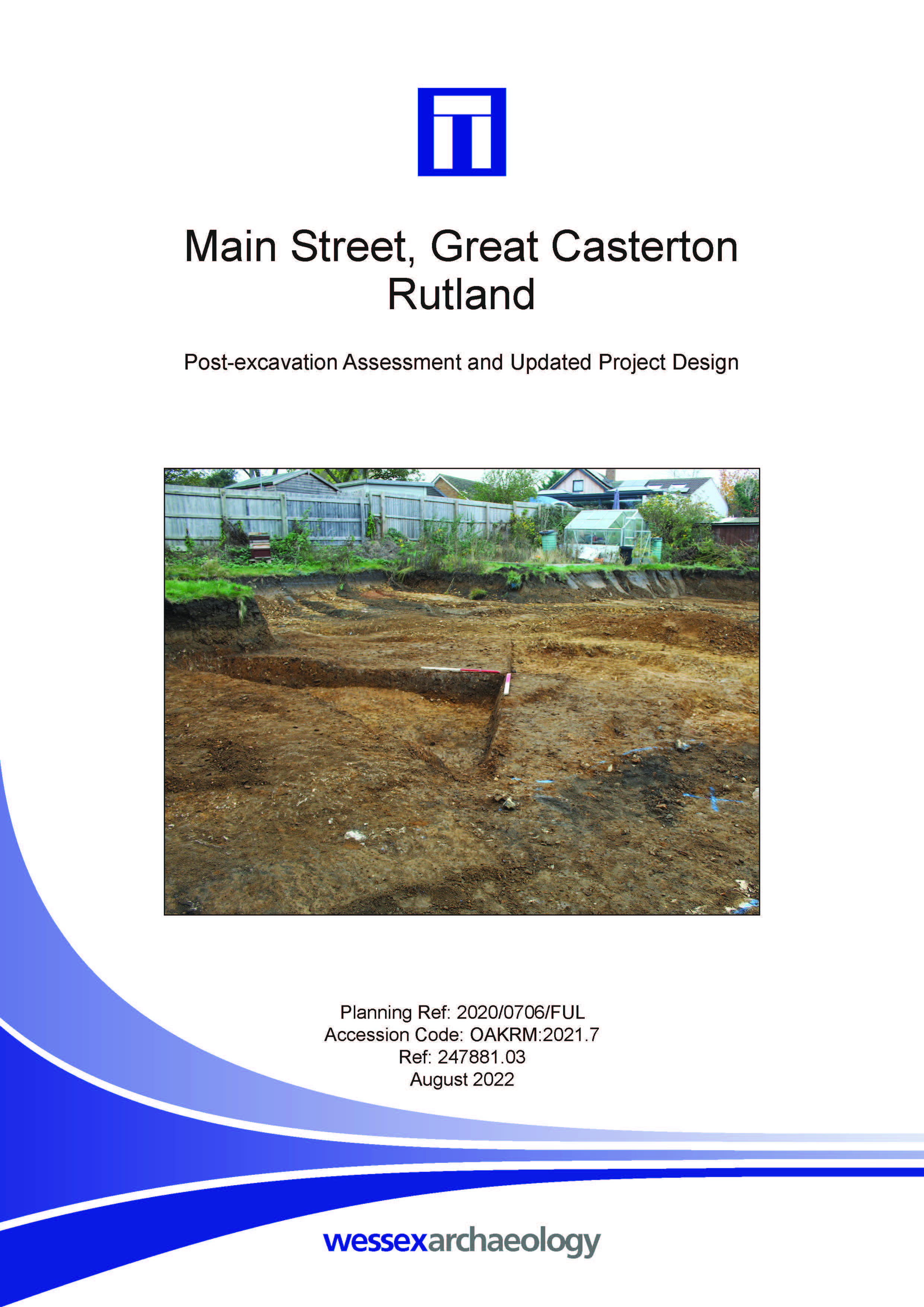
Main Street, Great Casterton, Rutland - Post-excavation Assessment and Updated Project Design
Published: 2022-08-01
Subjects: Post-Medieval Artefacts, Romano-British Industry, Romano-British Settlement
The majority of the archaeological remains were Romano-British in date and comprised ditches and pits. The period was divided into two phases of activity. The first phase of activity comprised two parallel ditches, probably boundary ditches, with a small drainage offshoot from the northern ditch. A large pit was also present in this phase, along with a smaller fire pit. Finds from these features [...]
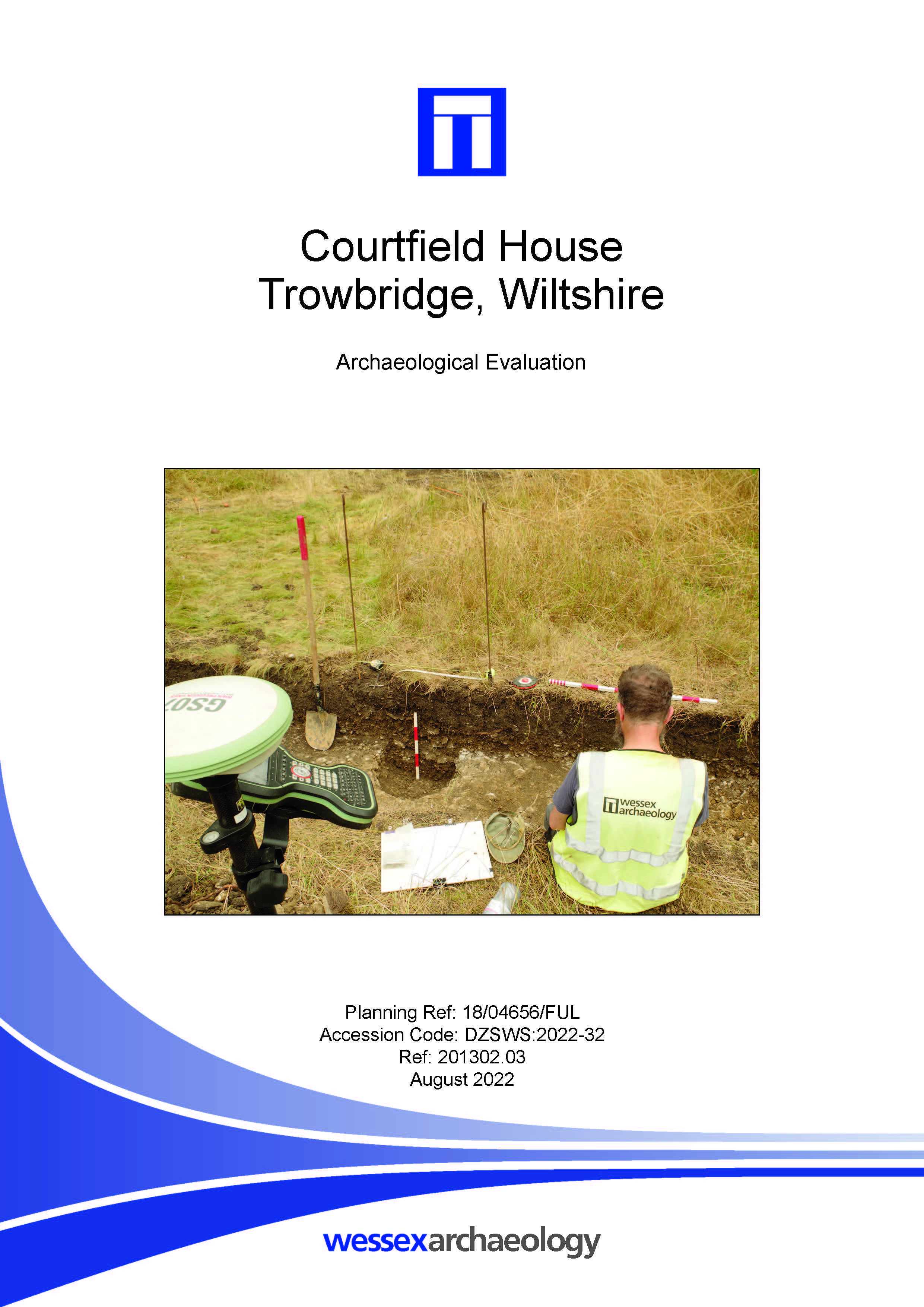
Courtfield House, Trowbridge, Wiltshire - Archaeological Evaluation Report
Published: 2022-08-01
Subjects: Post Medieval
In the event only one feature was uncovered which was seen to cut the subsoil. A single sherd of pottery was recovered from its lower fill and dates the pit to the post medieval, and a small piece of peg tile from the upper fill dates to the medieval or early post-medieval. Two sherds of Romano-British pottery were recovered from the upper fill of the pit. While these are residual they are of [...]
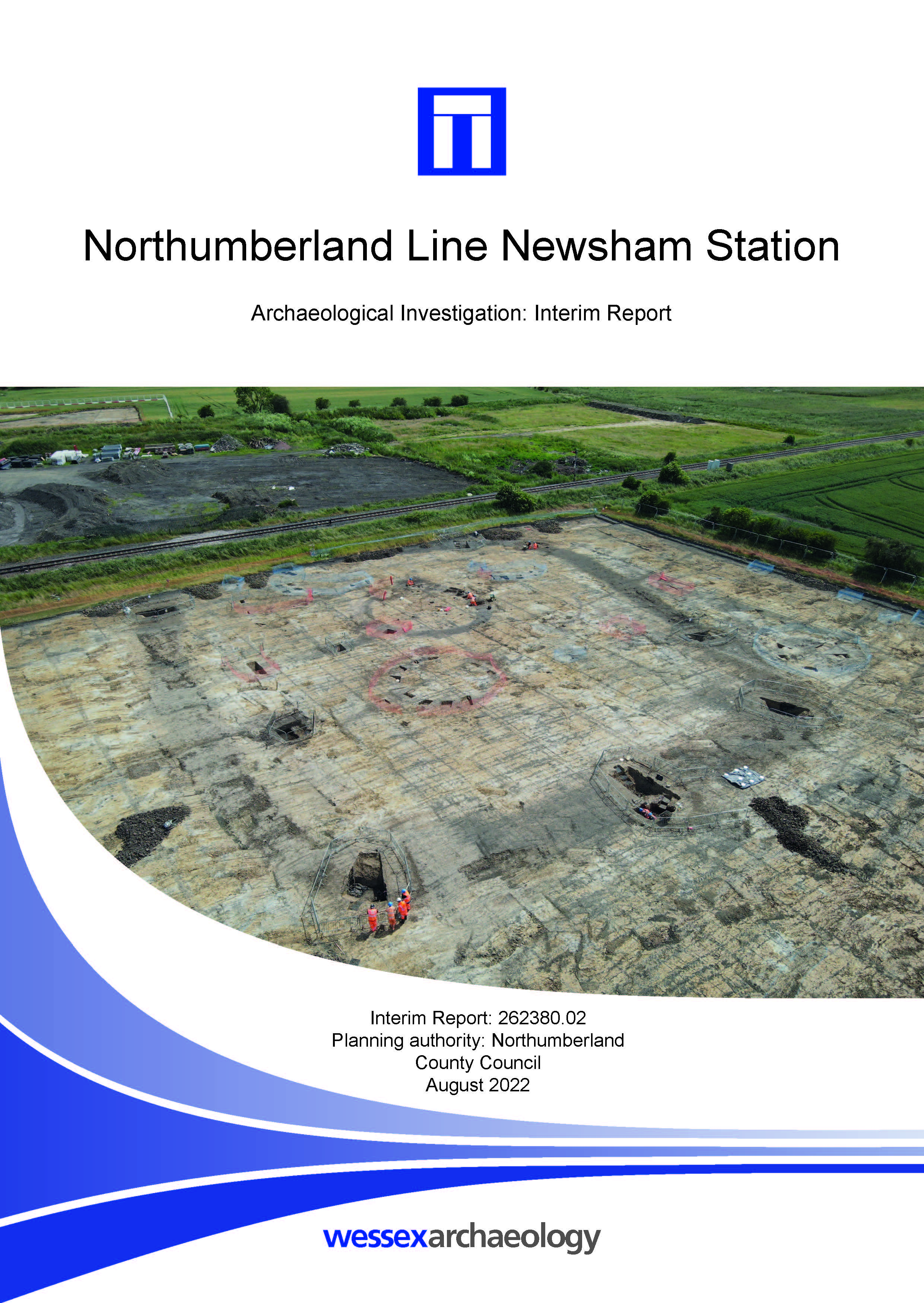
Northumberland Line Newsham Station - Archaeological Investigations Interim Report
Published: 2022-07-31
Subjects: Iron Age Agriculture, Iron Age Settlement, Post-Medieval Agriculture, Post-Medieval Industry, Romano-British Agriculture, Romano-British Settlement
The archaeological investigation exposed the remains of a rectangular enclosure and internal ring gully previously identified by geophysical survey and trial trench evaluation. It revealed further archaeological remains within the enclosure, comprising ring gullies, ditches and pits. A large wood-lined pit, thought to be a possible Iron Age well was also investigated within the enclosure. [...]
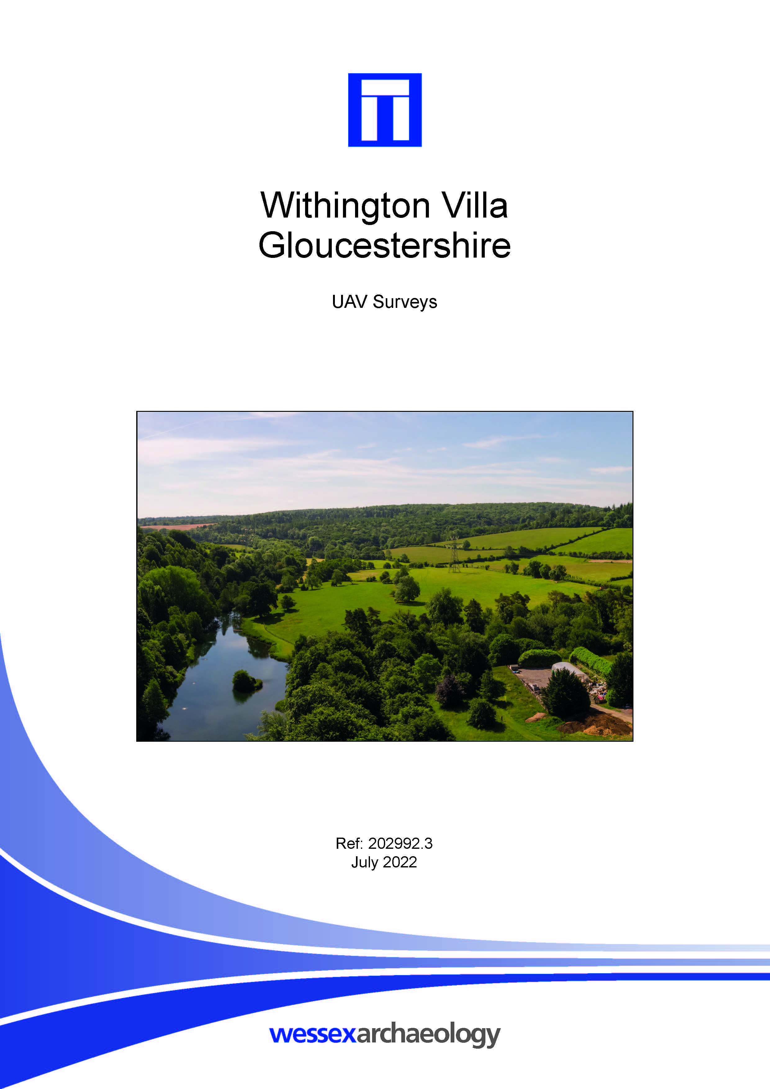
Withington Villa, Gloucestershire - UAV Surveys
Published: 2022-07-01
Subjects: Roman Villa, Unmanned Aerial Vehicle (UAV) Survey
The surveyed area included part of the scheduled Withington Romano-British villa complex (NHLE 1003345). Prior to site attendance, permission was obtained from the neighbouring landowner to extend the survey to include an additional 7 ha area immediately to the south-west, centred on NGR 403152 214771, which incorporates the remainder of the scheduled area. The surveys were undertaken to create a [...]
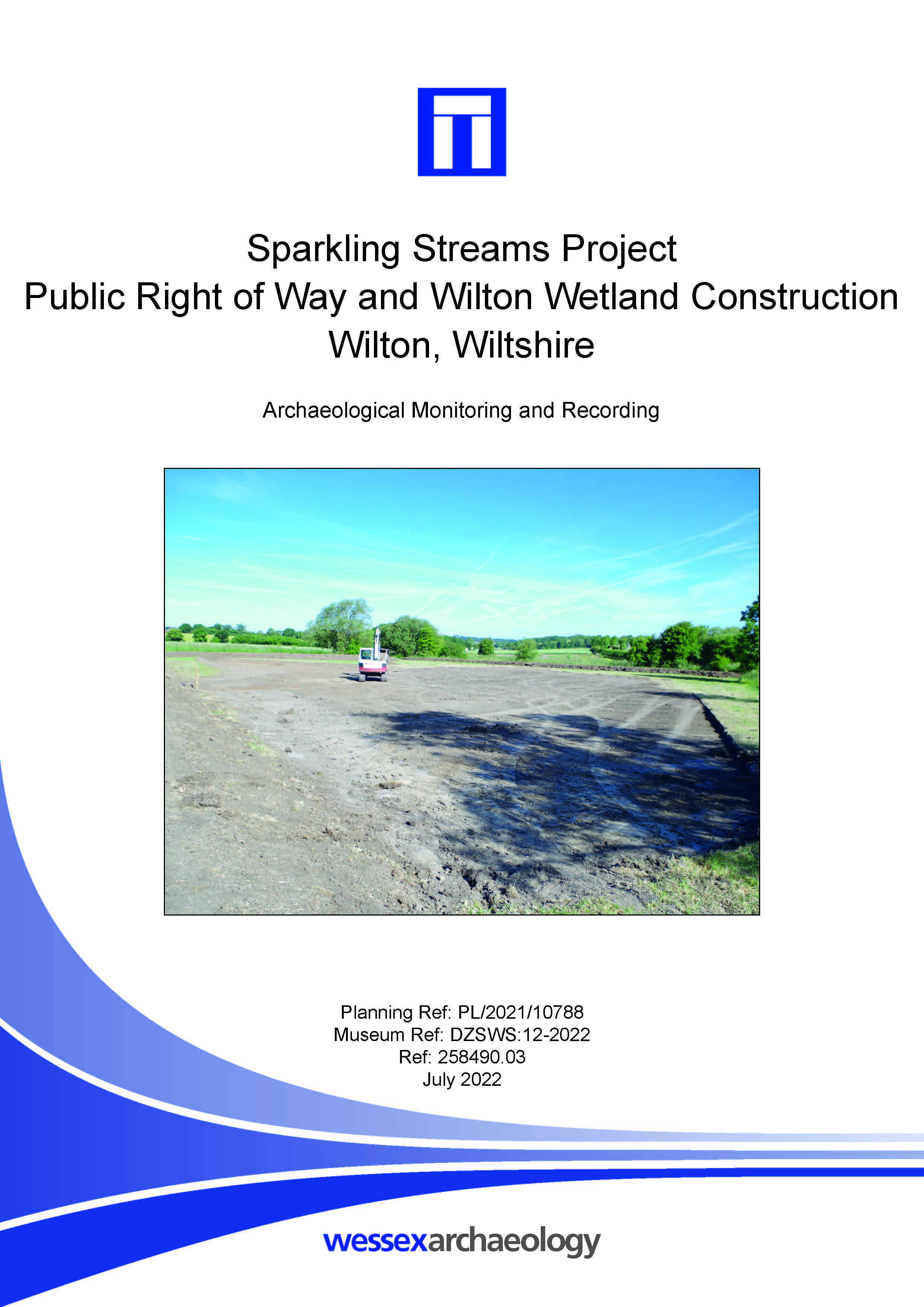
Sparkling Stream Project, Public Right of Way and Wilton Wetland Construction, Wilton, Wiltshire - Archaeological Monitoring and Recording
Published: 2022-07-01
Subjects: No Archaeological Features, Post-Medieval Artefacts, Prehistoric Flint
No archaeological features were observed during the works, though some burnt flint and struck flint was recovered, suggestive of a background of early land use within the site and the surrounding area. Fluvial deposits with a distinctive iron-rich clay were recorded on an approximate south-east to north-west alignment and may pertain to a palaeochannel traversing the site. The lack of [...]
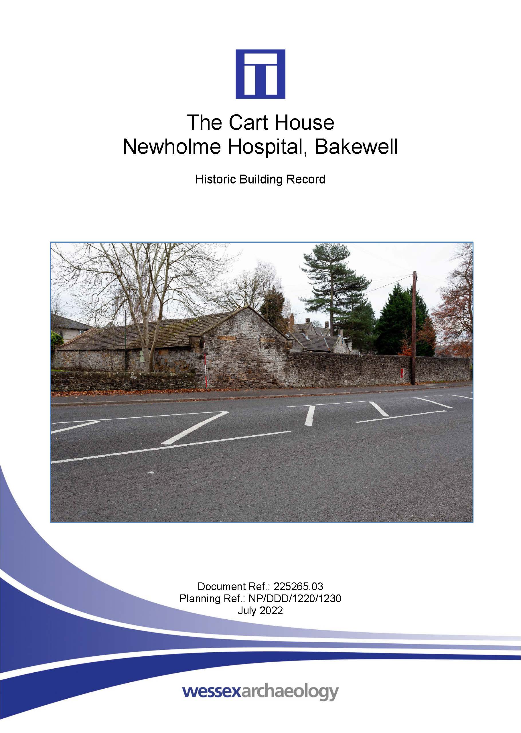
The Cart House, Newholme Hospital, Bakewell - Historic Building Record
Published: 2022-07-01
Subjects: Post Medieval
The Cart House forms an early part of the former Bakewell Union Workhouse, latterly Newholme Hospital, constructed as an ancillary structure, likely as a cart house, which was latterly used as a store. The building’s construction is simple, reflecting its ancillary nature. Nevertheless, it contributes to an understanding of the historic function and layout of the former workhouse. The building is [...]
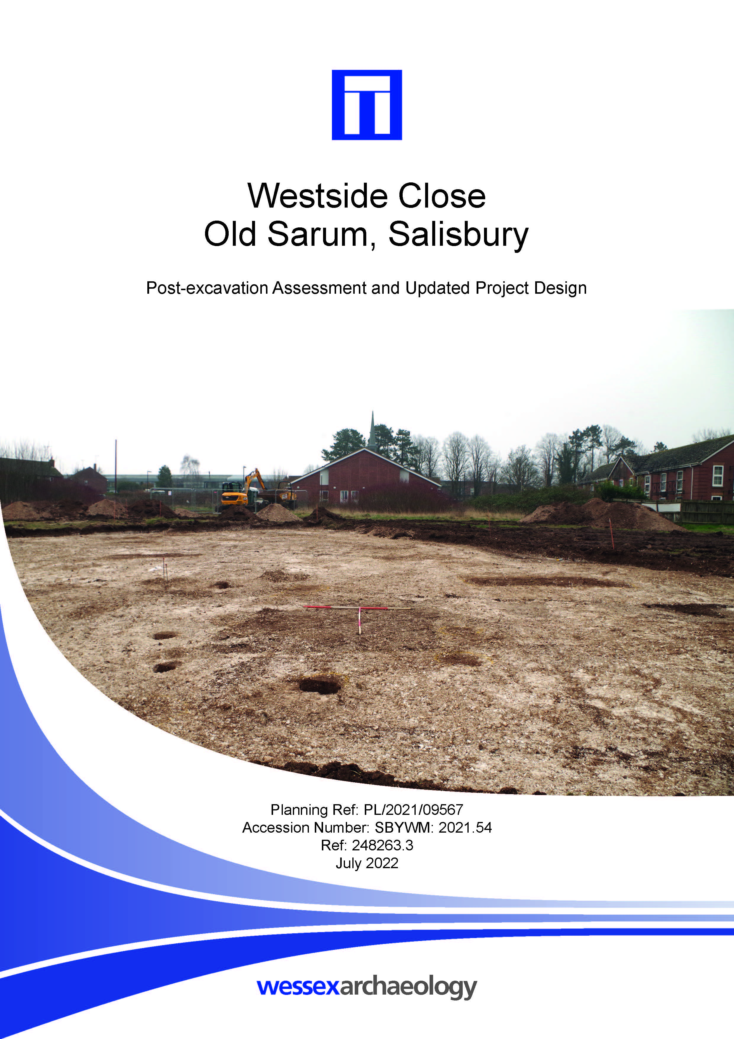
Westside Close, Old Sarum, Salisbury - Post-excavation Assessment
Published: 2022-06-30
Subjects: Bronze Age Settlement, Iron Age Settlement, Neolithic Settlement
The excavation revealed two pits of potentially contemporary date in close proximity to this feature, although they contained smaller quantities of finds. A tiny, residual sherd of Beaker pottery was also retrieved from one of two postholes during the evaluation. These features were resolved, during the excavation, to have formed part of a ring, approximately 4.5 m in diameter, of seven [...]
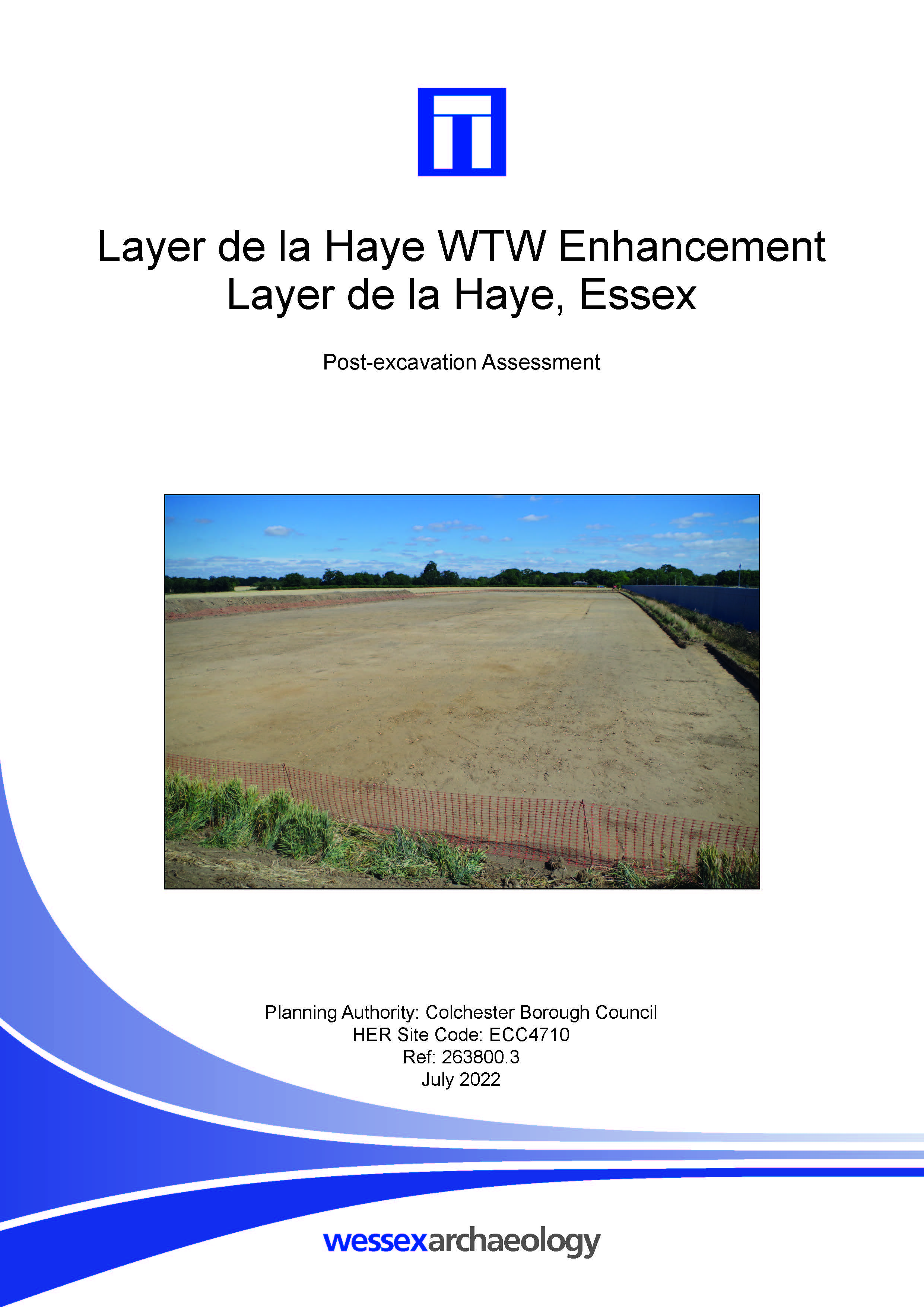
Layer de la Haye WTW Enhancement, Layer de la Haye, Essex - Post-excavation Assessment
Published: 2022-06-30
Subjects: Undated Archaeological Features
This excavation only revealed six small pits whereby four of them were sampled for environmental assessment. The features sampled were identified as the truncated remains of charcoal production pits variously (and poorly) dated between the Iron Age, Romano-British and medieval periods.
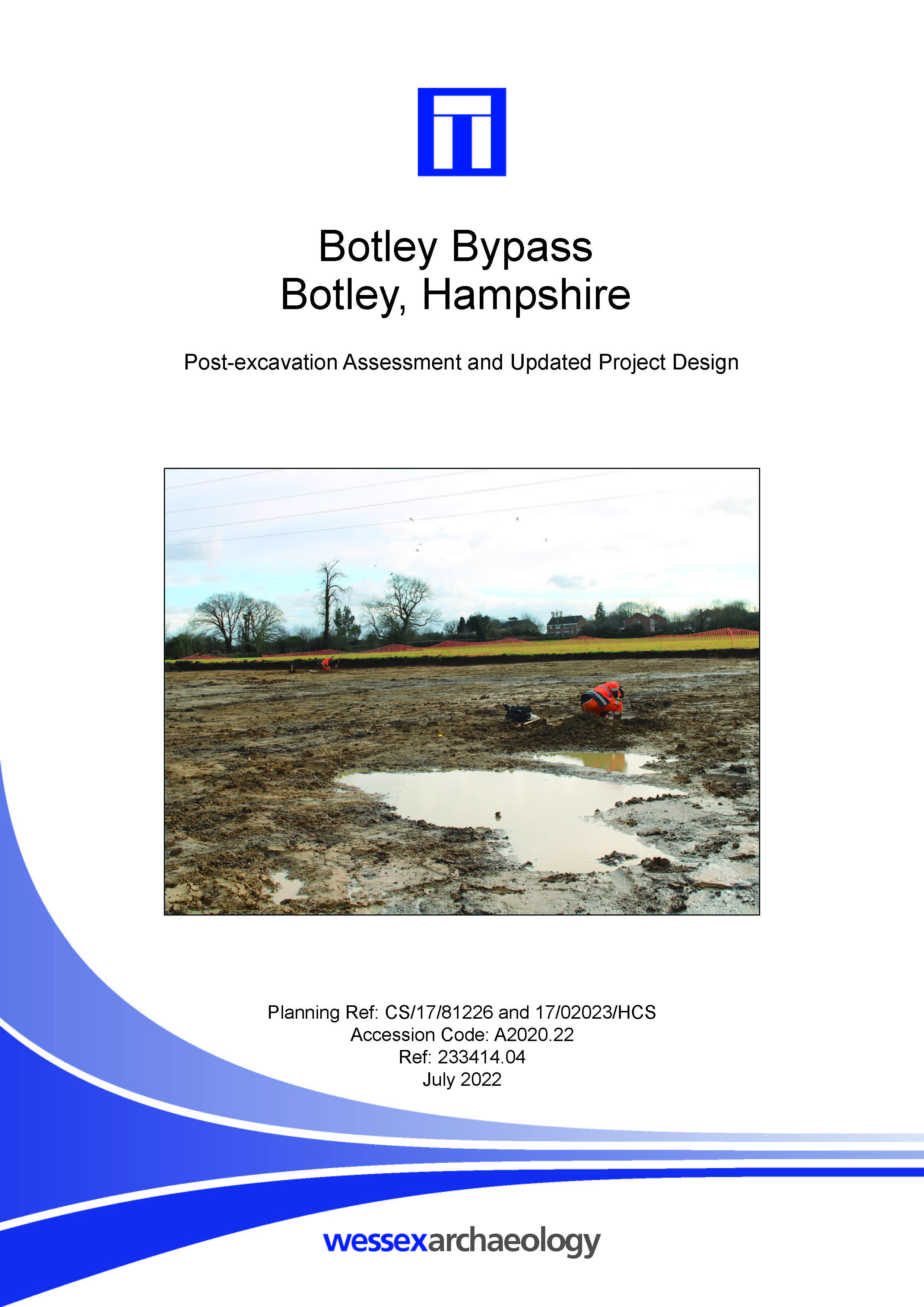
Botley Bypass, Botley, Hampshire - Post-excavation Assessment
Published: 2022-06-30
Subjects: Bronze Age Ceremony, Iron Age Agriculture, Iron Age Enclosure, Post-Medieval Agriculture, Romano-British Agriculture, Romano-British Enclosure, Undated Archaeological Features
Archaeological features were recorded in all three areas. In Area A, a series of 1st century AD features were revealed, including two ditched enclosures, a hollow and three pits. A post-medieval ditch crossed this area and a further five pits and seven postholes were of uncertain date. In Area B, two waterholes were dated to the 1st century AD; there was also a post-medieval ditch. Two [...]